
The Osprey Trail - Brown Summit, NC
"When you love someone, you love the person as they are, and not as you would like them to be.” - Leo Tolstoy
“When we seek to discover the best in others, we somehow bring out the best in ourselves.” - William A. Ward
At a Glance
Distance: 2.6 miles (one way, point-to-point)
Difficulty: Easy to moderate
Location: Greensboro, NC (Access points on Yanceyville Road and Church Street)
Highlights: Lake Townsend shoreline, beach-like sands, part of the NC Mountains-to-Sea Trail (MST), scenic footbridge
Time to Read - 4 Minutes
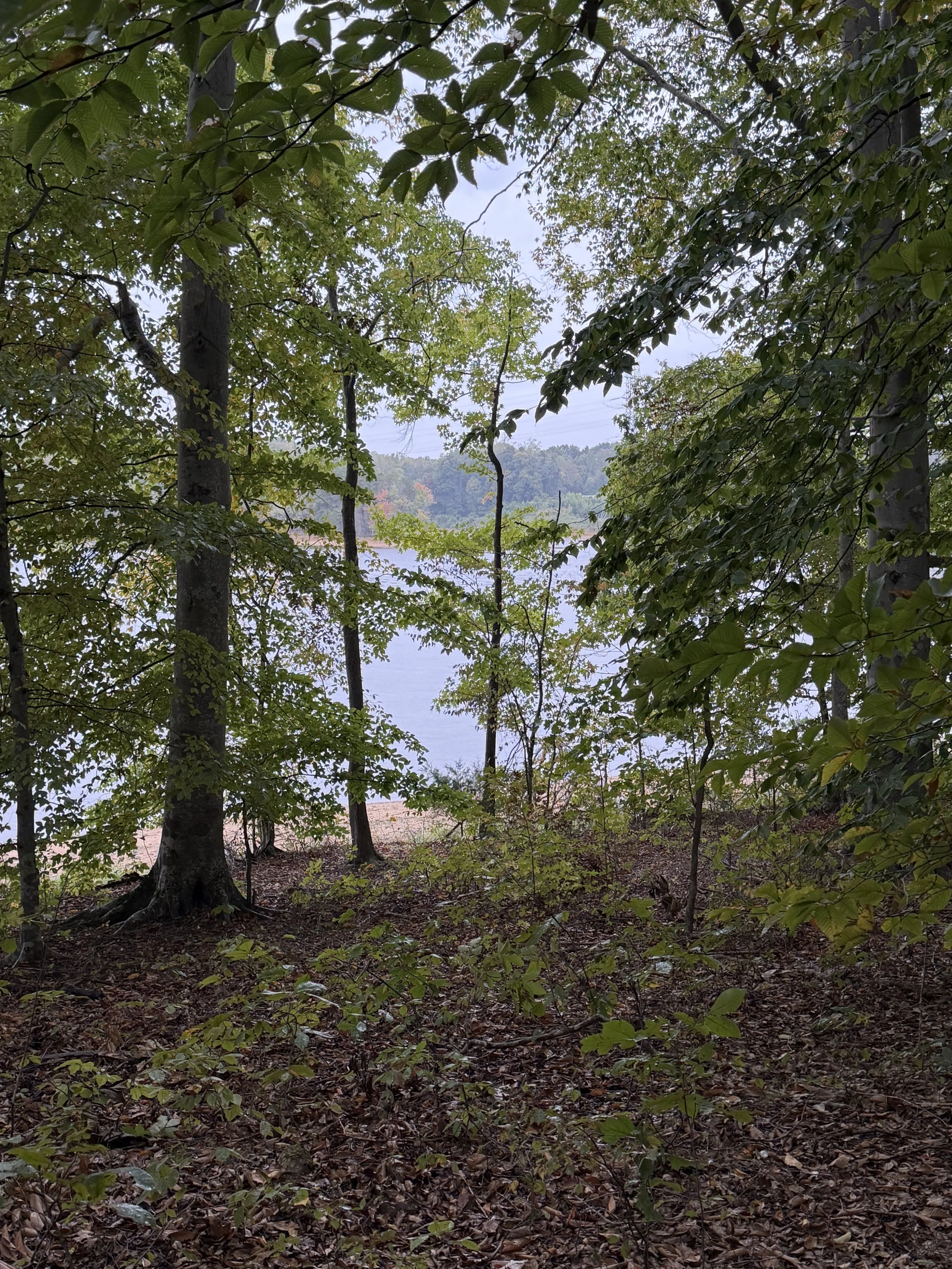
Finding Serenity in the Undulating Forest
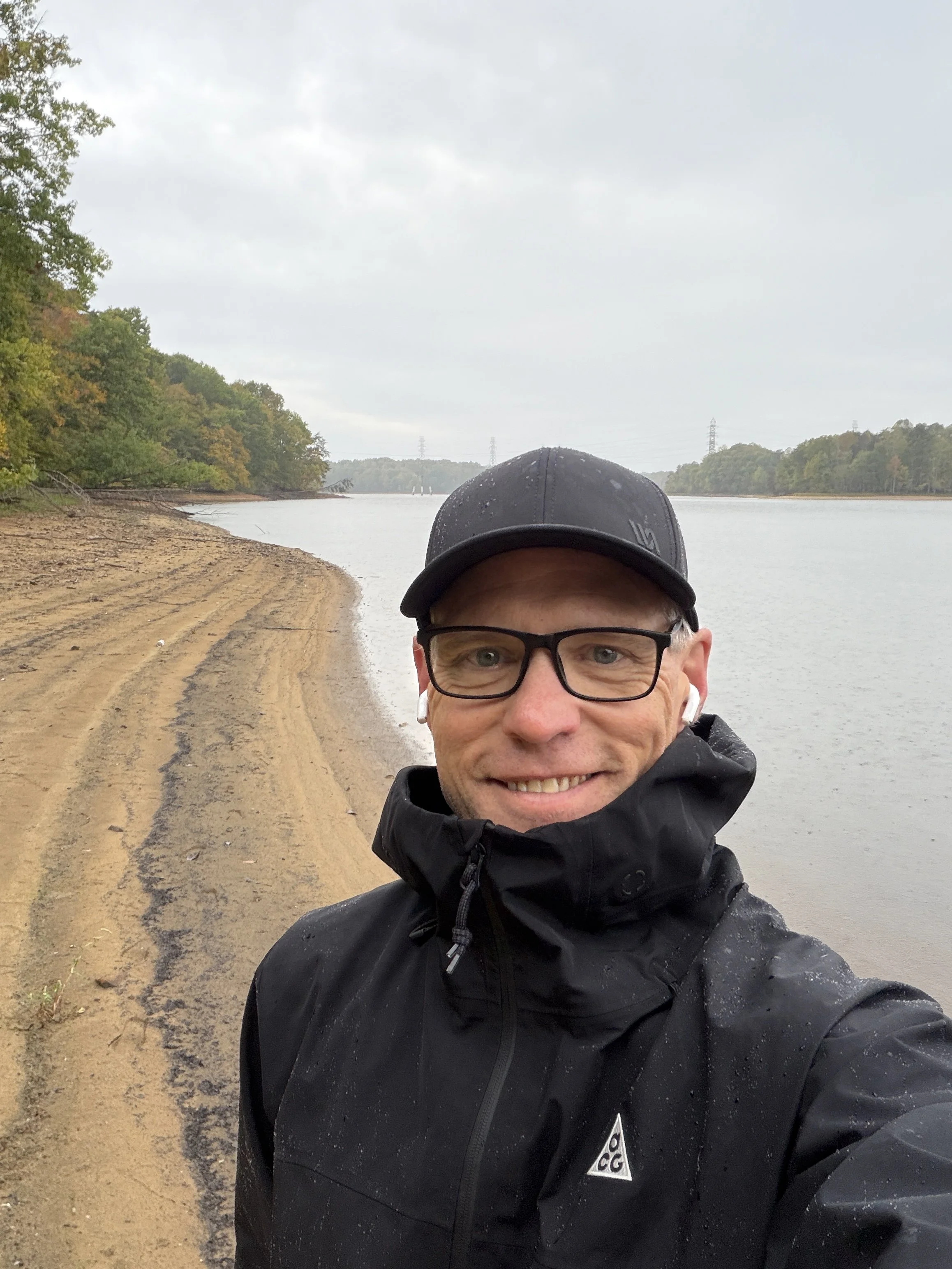
The sky was overcast and rainy, a quiet backdrop that perfectly matched a reflective mood. There is a distinct kind of peace found in listening to rain hit the leaves while deep in the woods. This 2.6-mile point-to-point hike runs along the southern shores of Lake Townsend as one of Greensboro's six protected watershed trails. It also serves as a scenic section of the historic North Carolina Mountains-to-Sea Trail (MST).
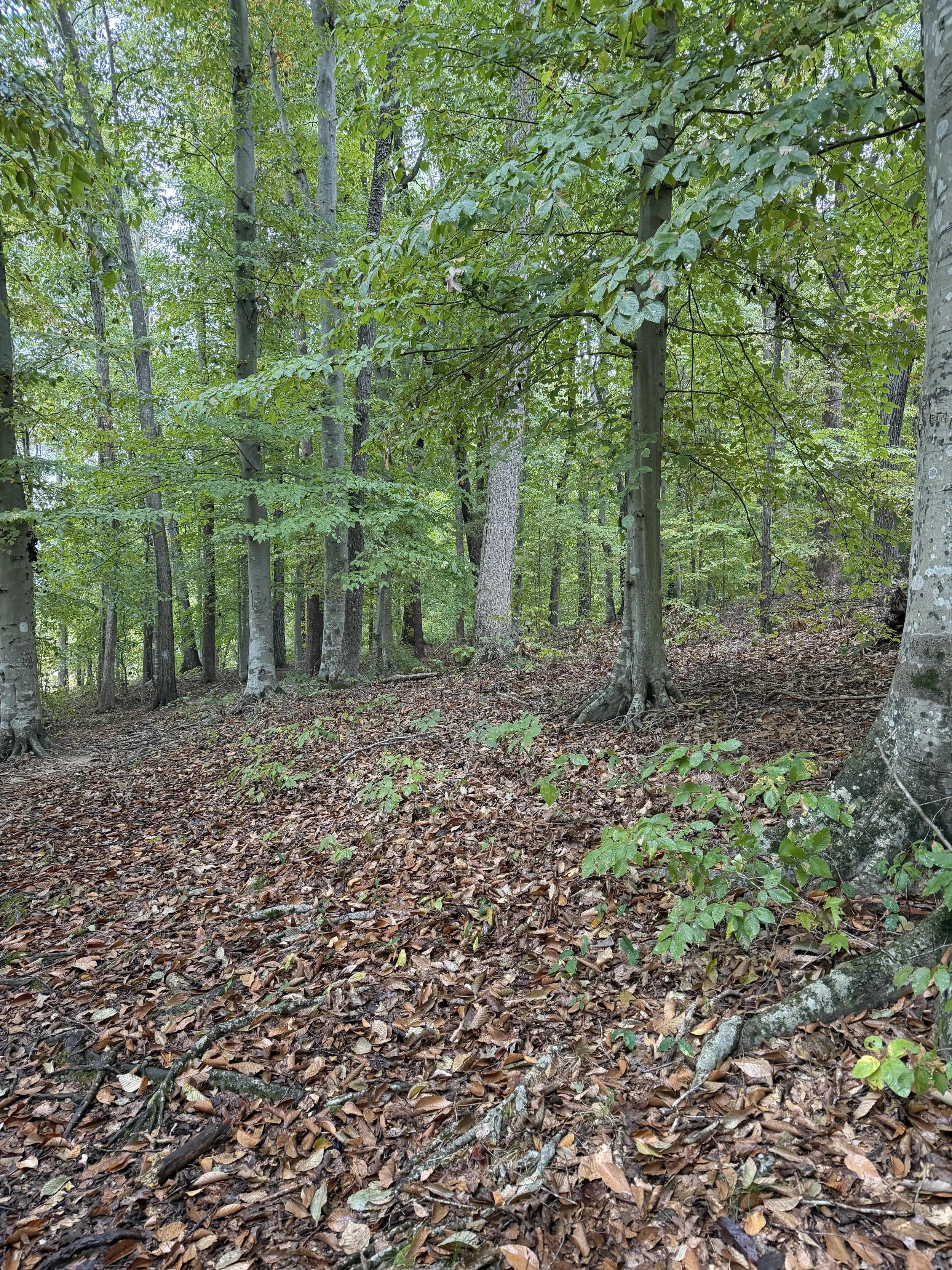
Walking the Exposed Sandy Beaches
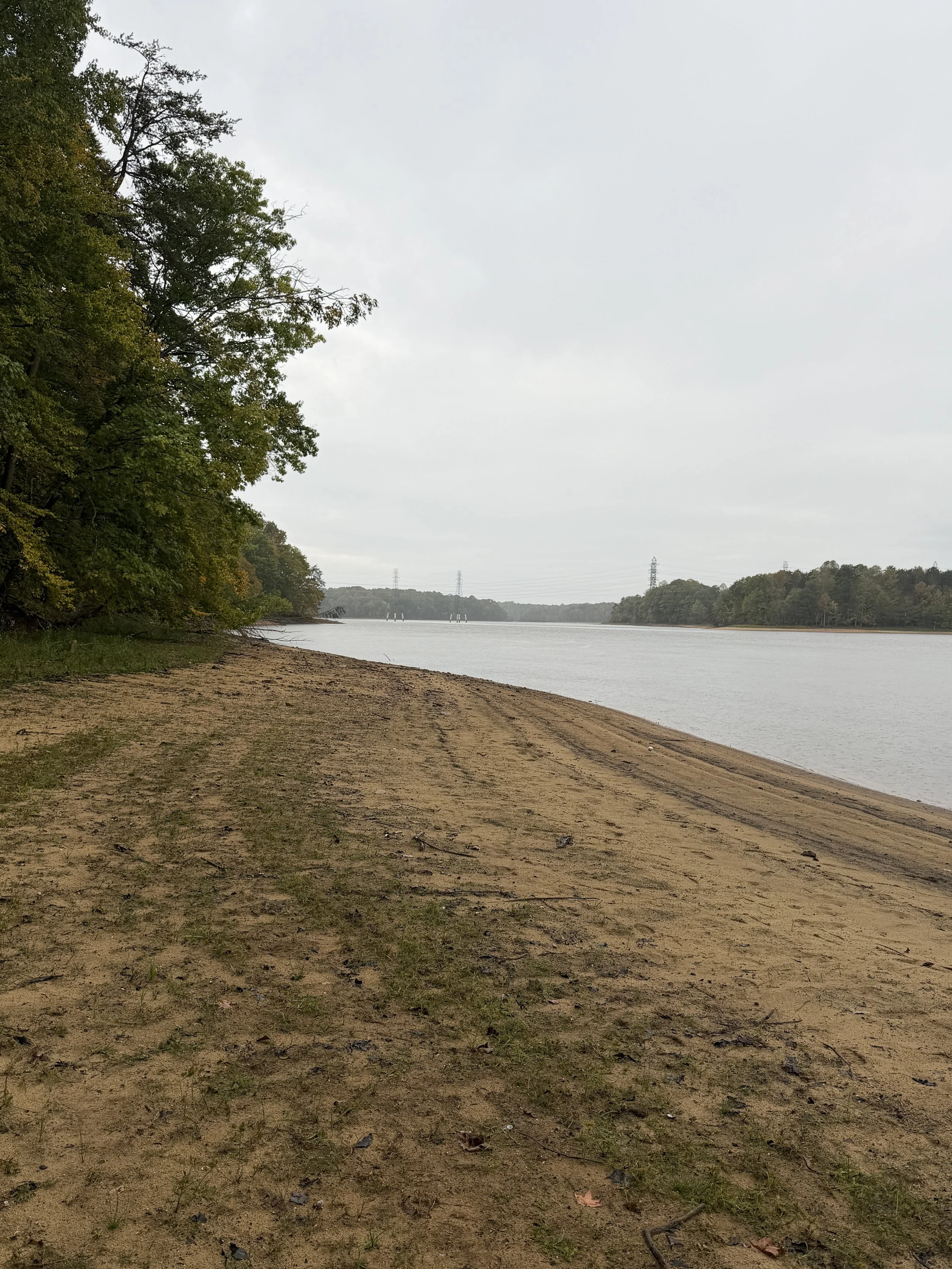
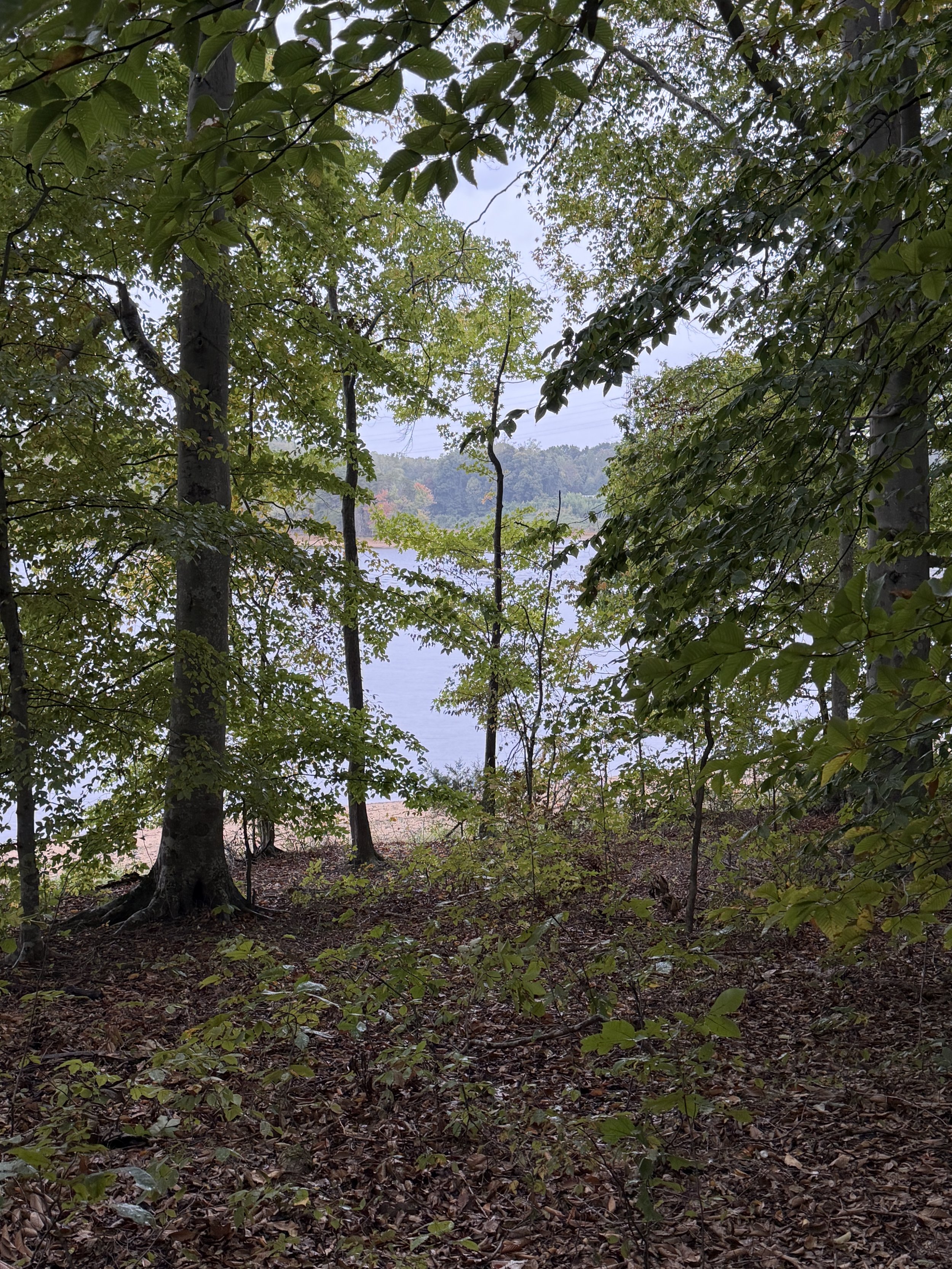
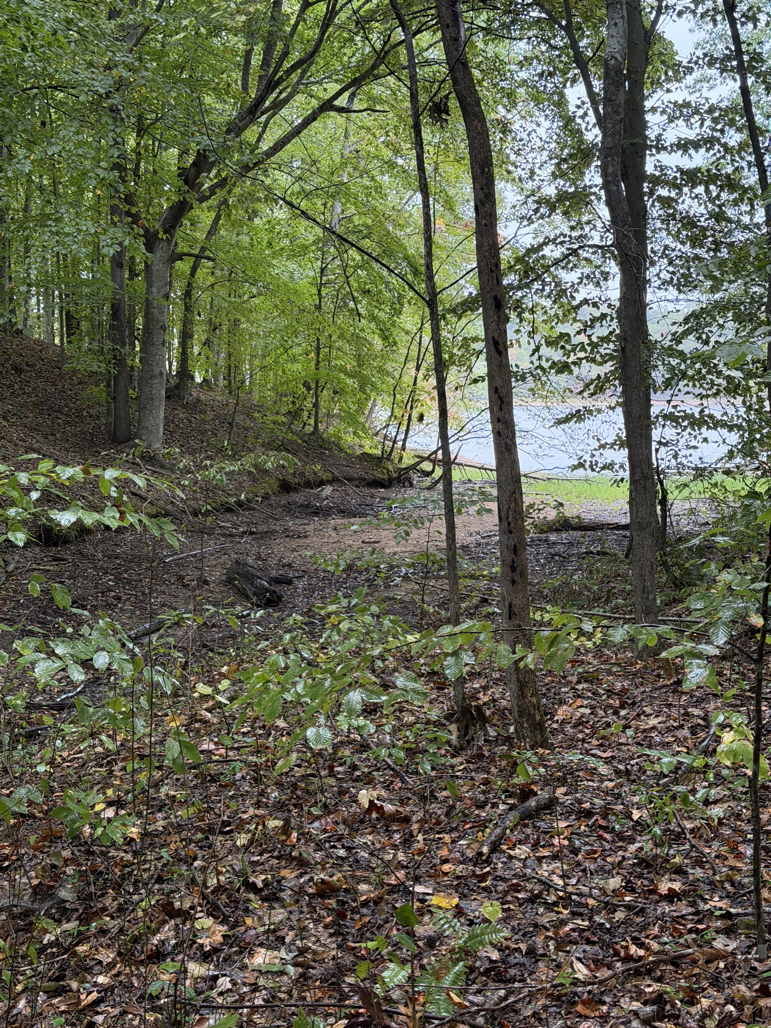
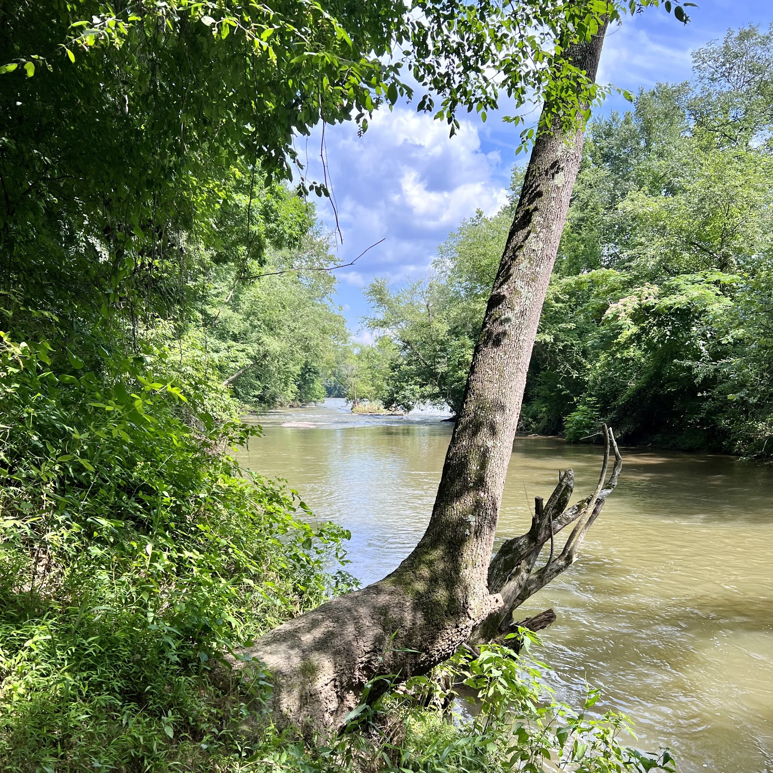
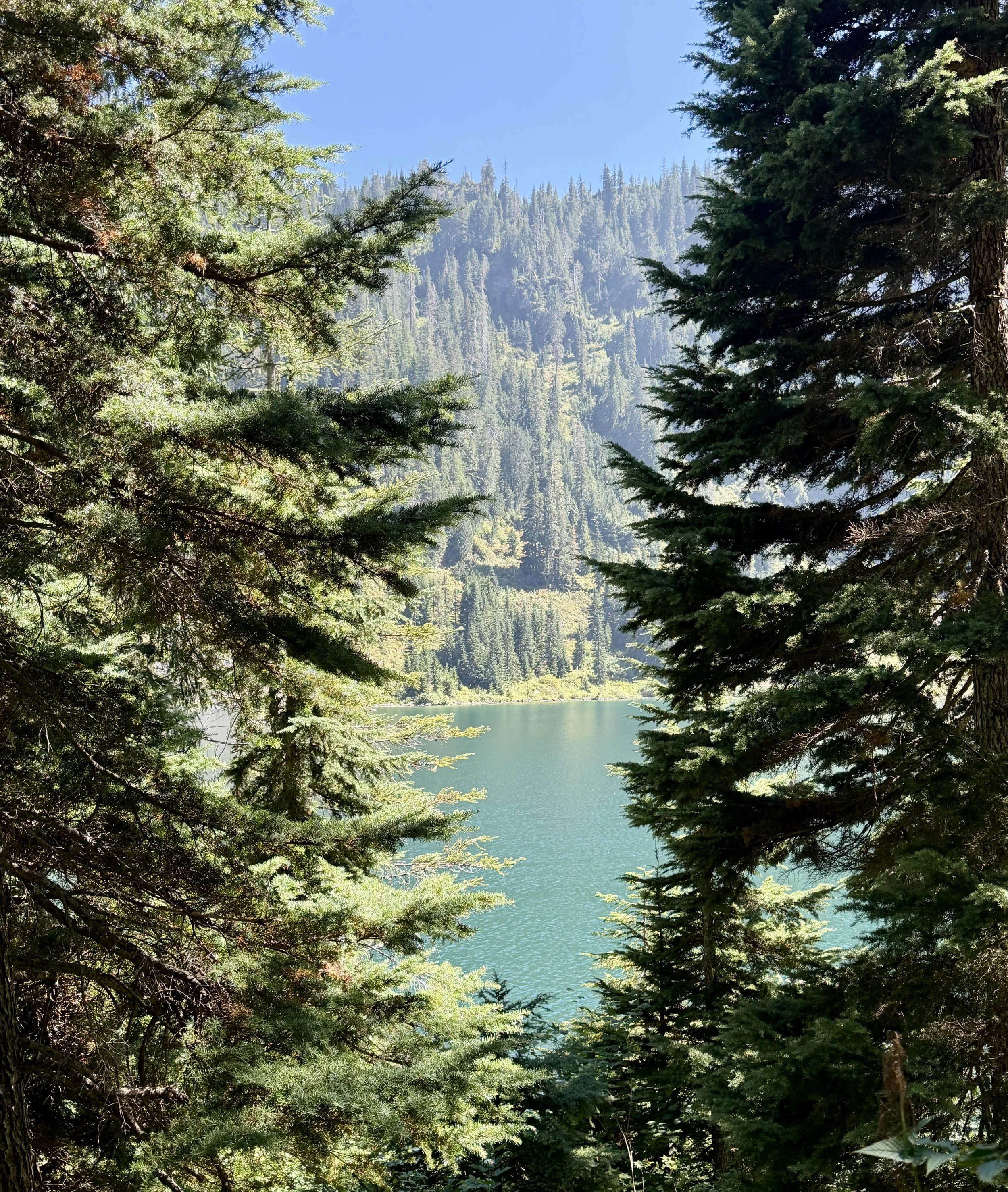
Because the lake's water levels are currently low, the receding shoreline has left behind surprisingly long, wide stretches of sand. Walking out onto these clearings feels exactly like standing on a secluded coastal beach rather than a Piedmont lakefront. Countless side paths detour directly off the main track down to the water, giving you endless opportunities to step out, take in the expansive views, and enjoy the water-locked horizon that stays in sight for almost the entire journey.
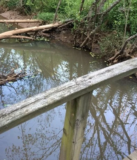
Navigating the Woven Roots and Downed Timber
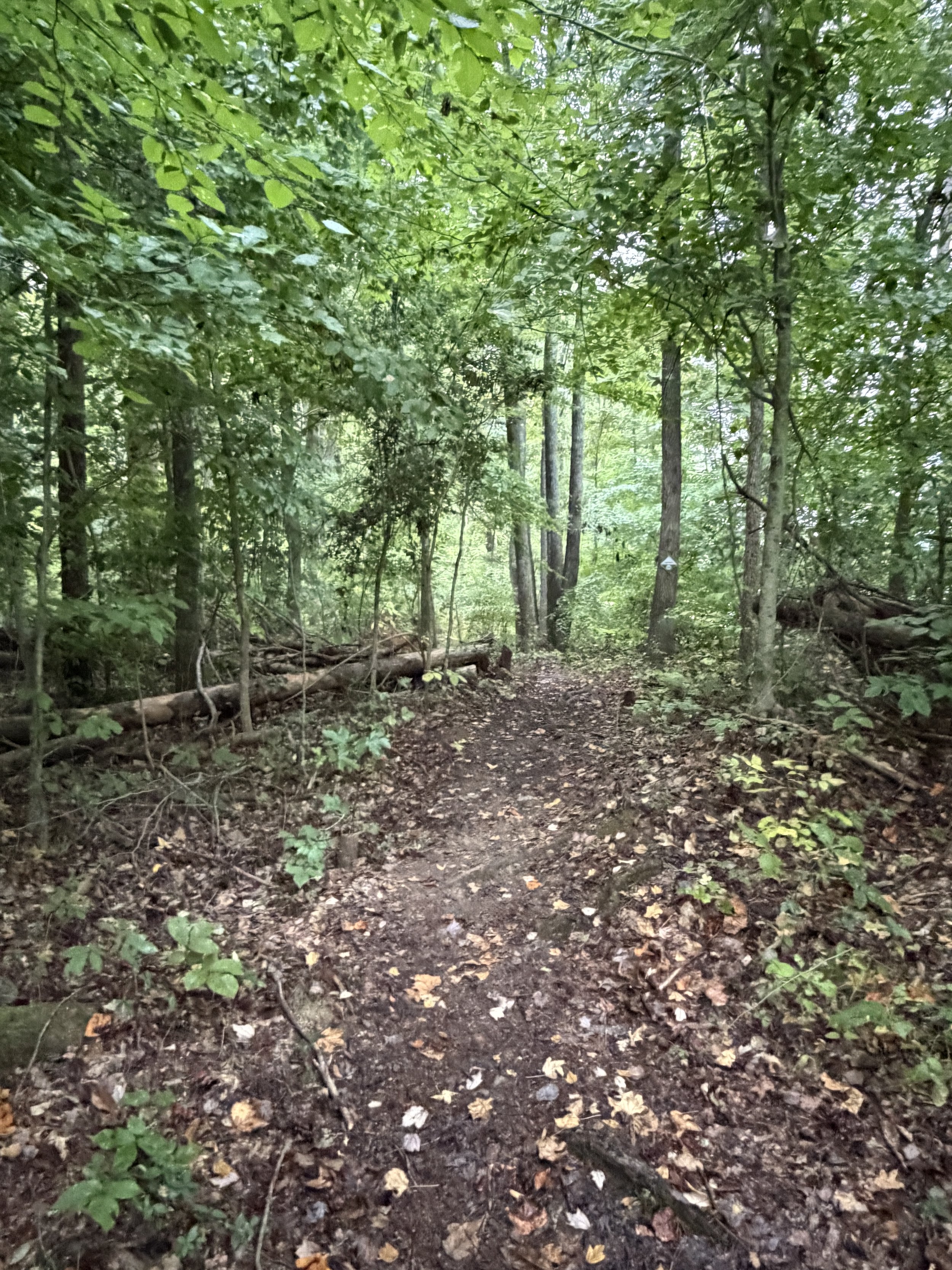
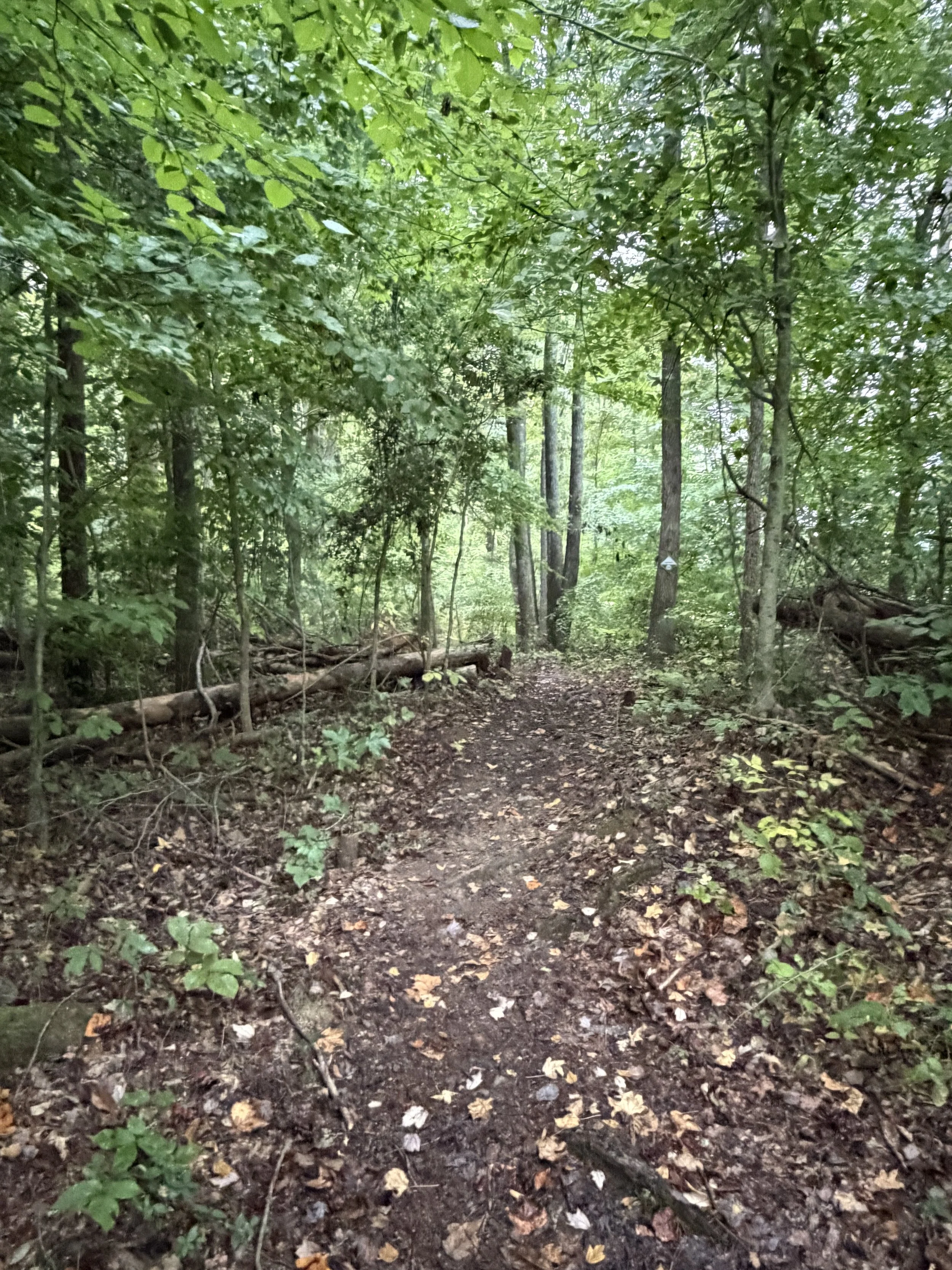
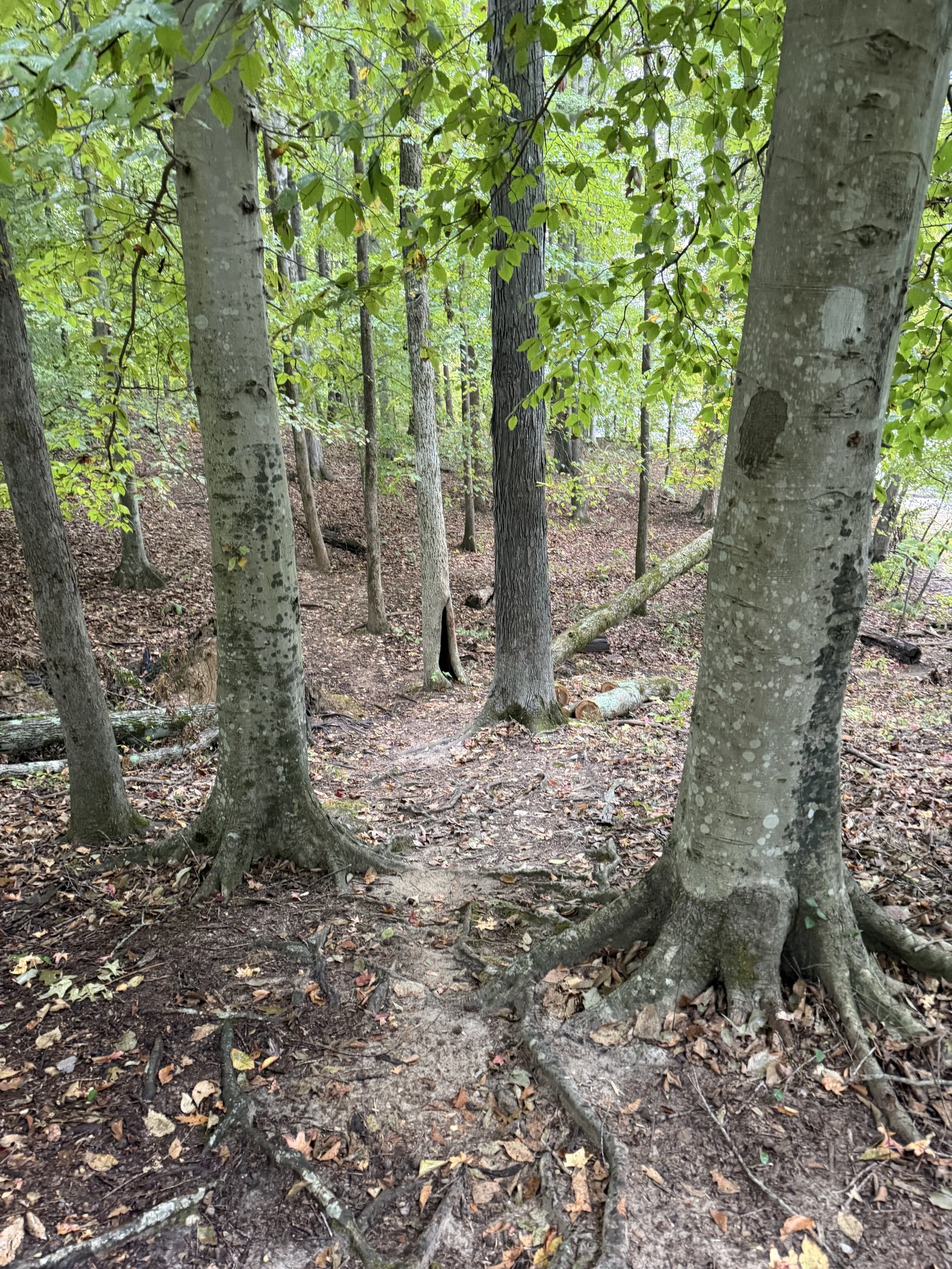
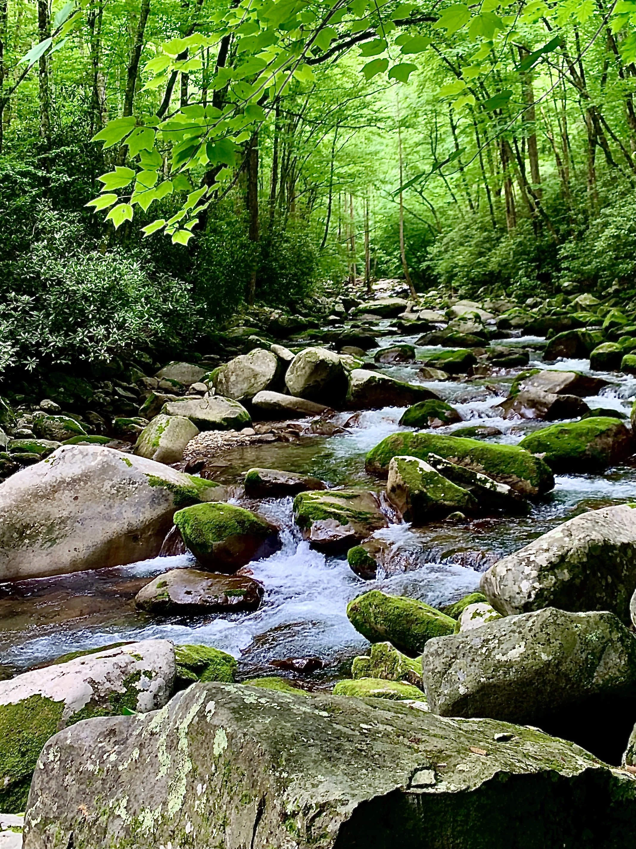
Away from the shore, the dirt path is well-packed but presents a rugged, classic North Carolina hiking texture. You will find yourself rock-hopping and stepping carefully through areas woven tightly with thick tree roots, fallen autumn leaves, and slick mud patches from the rainfall. The terrain is defined by constant rolling hills and slight elevation changes that create an undulating rhythm under the cover of an open, clearing forest. Several dry creek beds and natural downed trees cross the path, adding an extra touch of raw wilderness to the route.
The Overarching Nesting Grounds
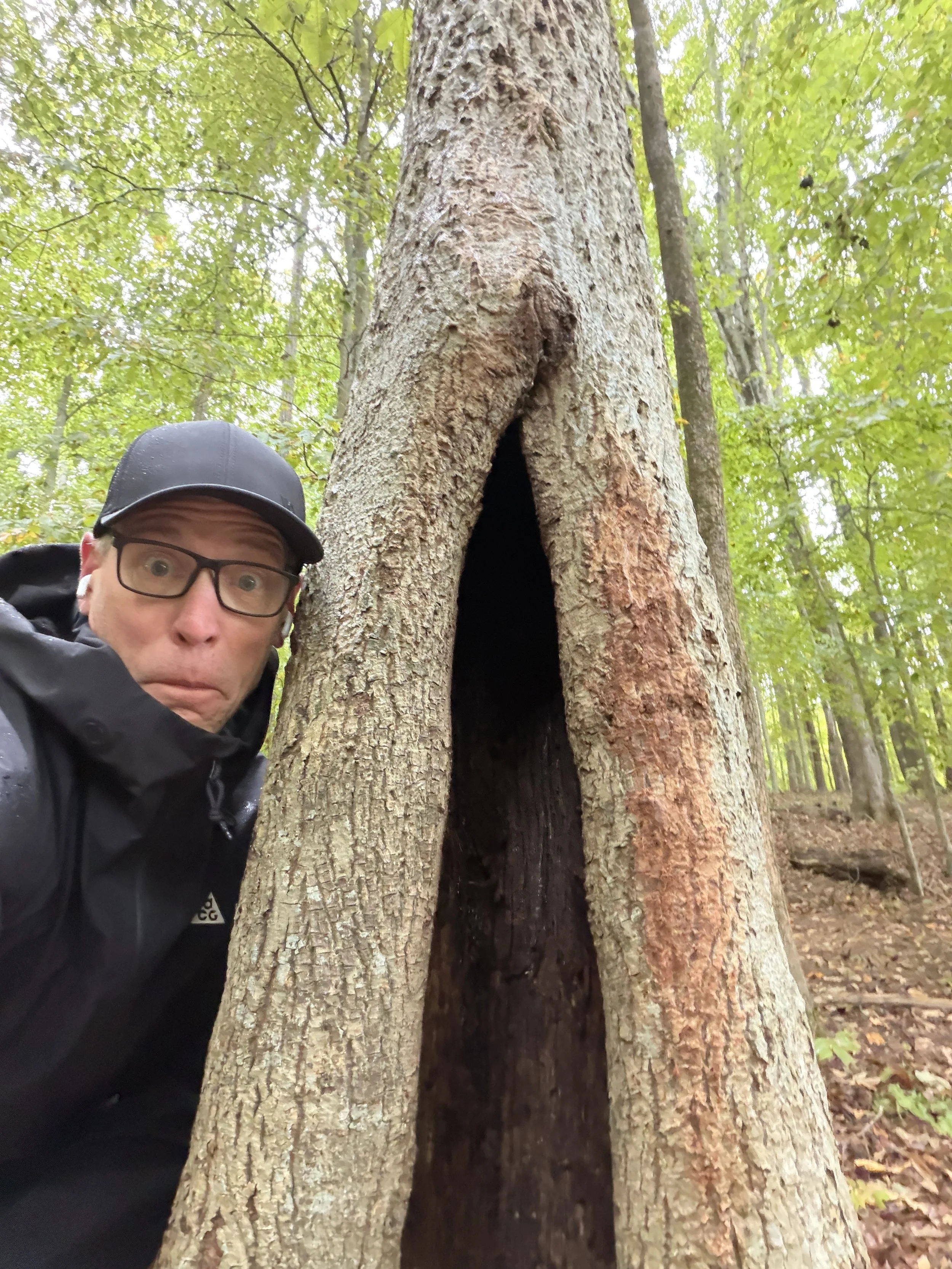
Though no ospreys were sighted hovering through the gray clouds on this particular trek, it is easy to see why these woods bear their name. Ospreys have been nesting reliably along these waters for years. On clearer days, hikers can regularly look overhead to watch them hovering directly over the open lake, scouting the surface for fish.
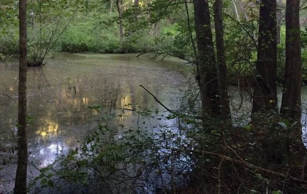
Crossing the Swampy Footbridge
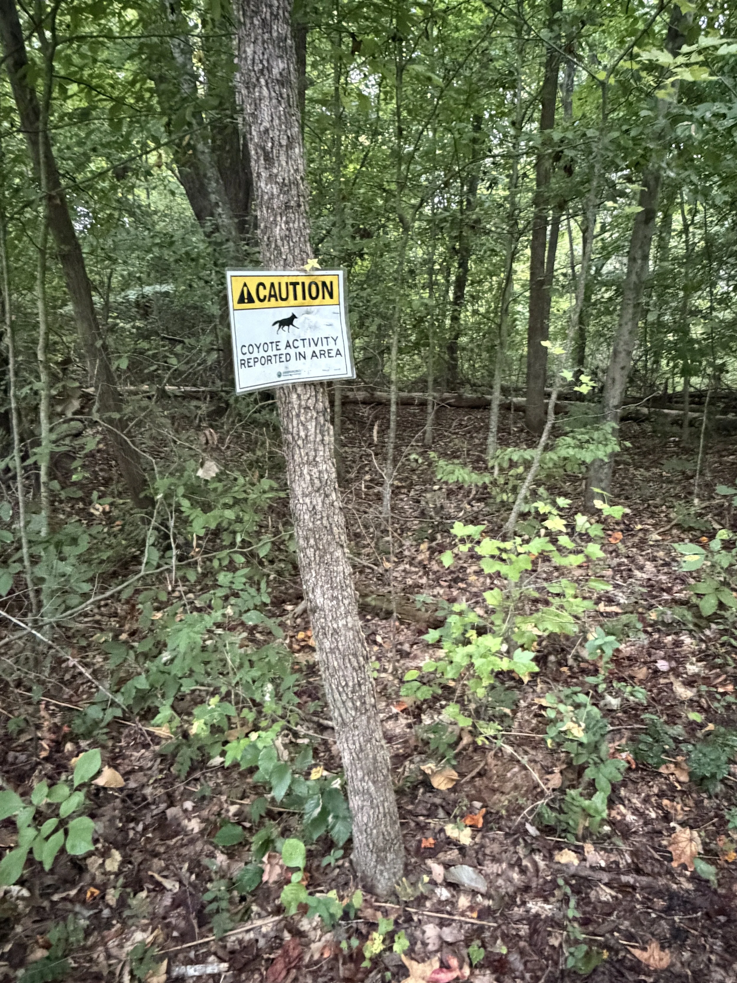
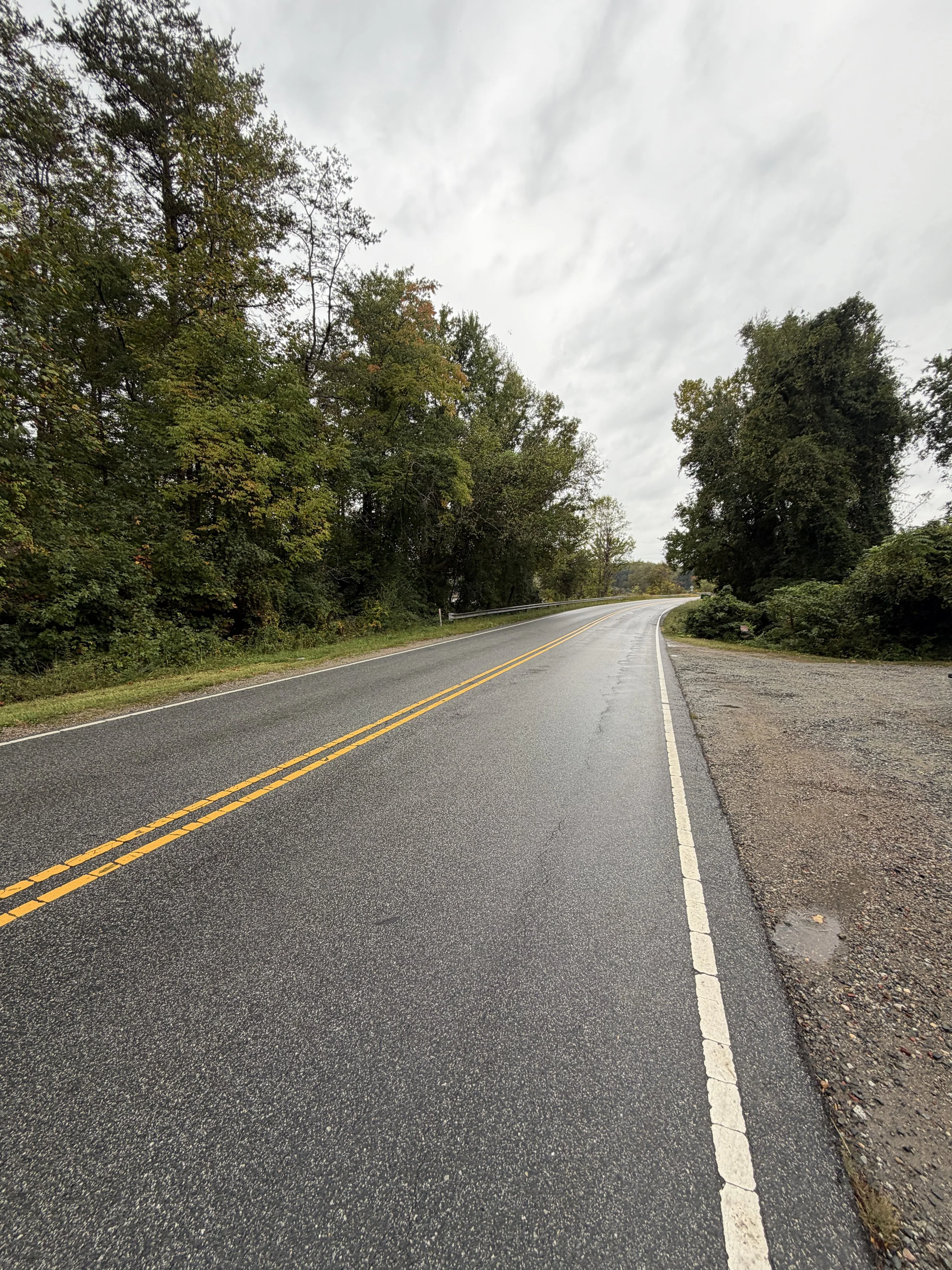
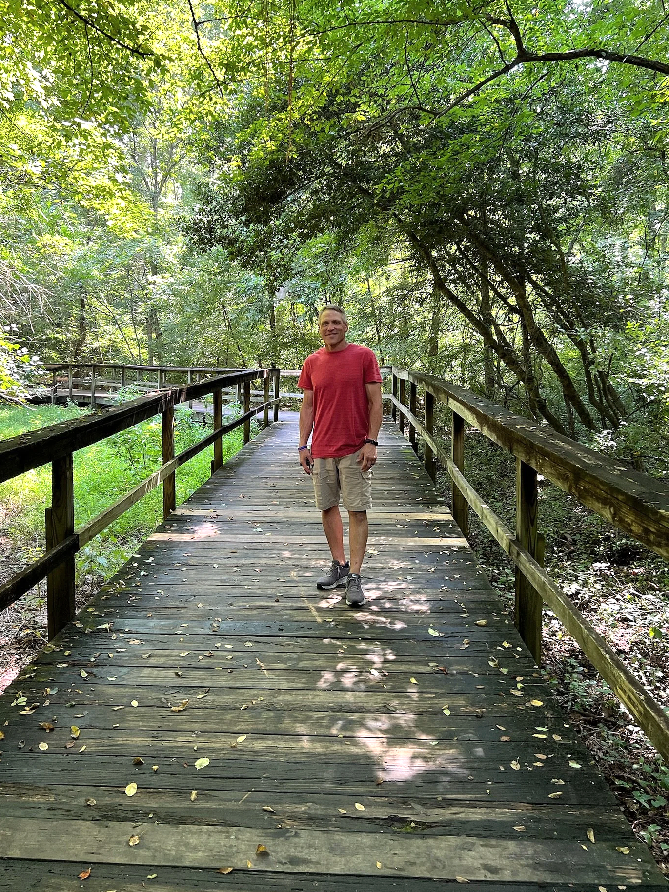
As you near the final stretches of the path toward the Church Street access point, the landscape shifts into a dense pine tree forest. Across from this thick evergreen stand, the trail carries you over a remarkably long wooden footbridge built over a wide, swampy wetland. It is an impressive piece of trail craftsmanship and a highlight of the trek, offering a completely different ecosystem view just before the route concludes.
A Critical Warning at the Trailhead
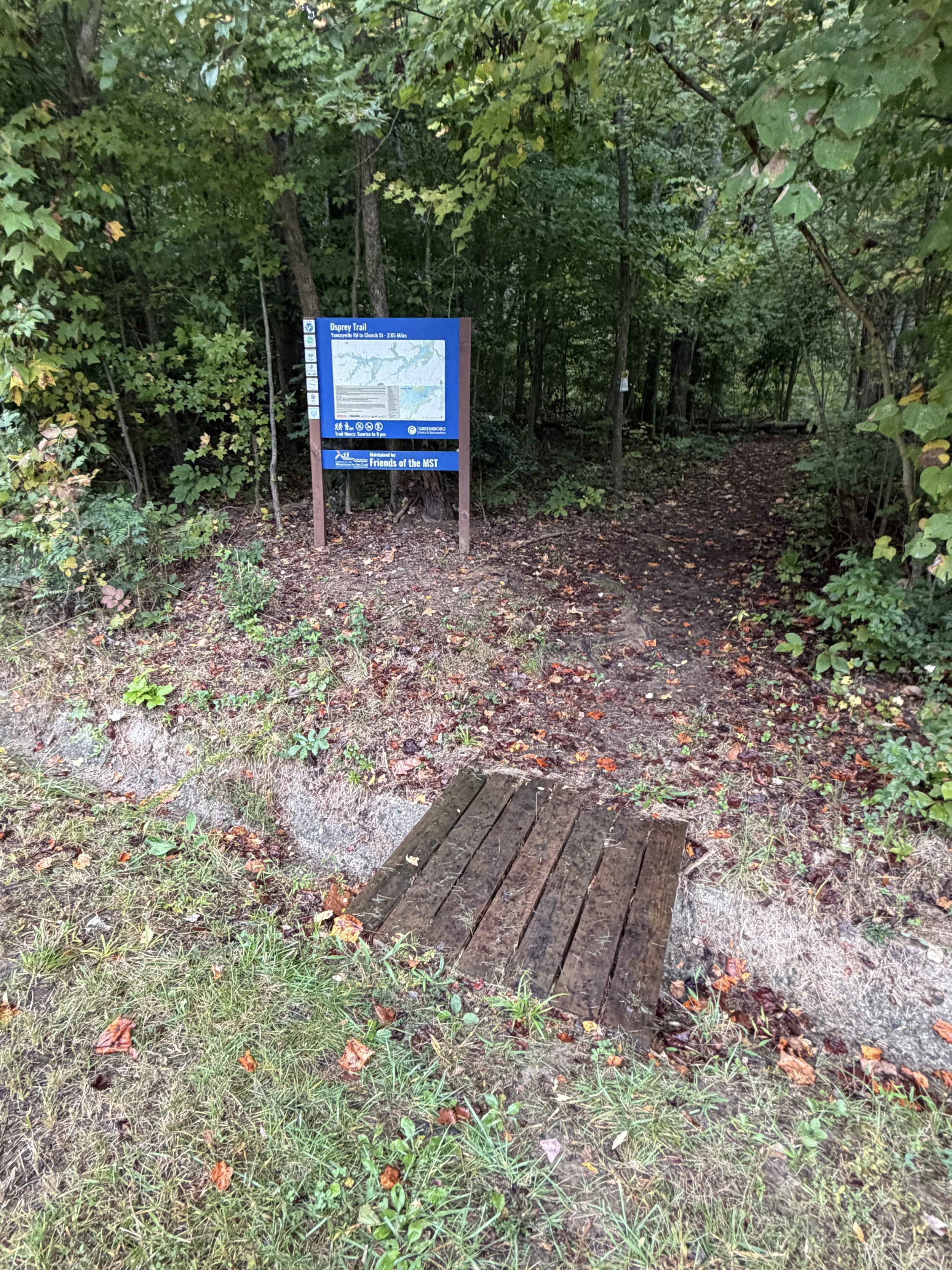
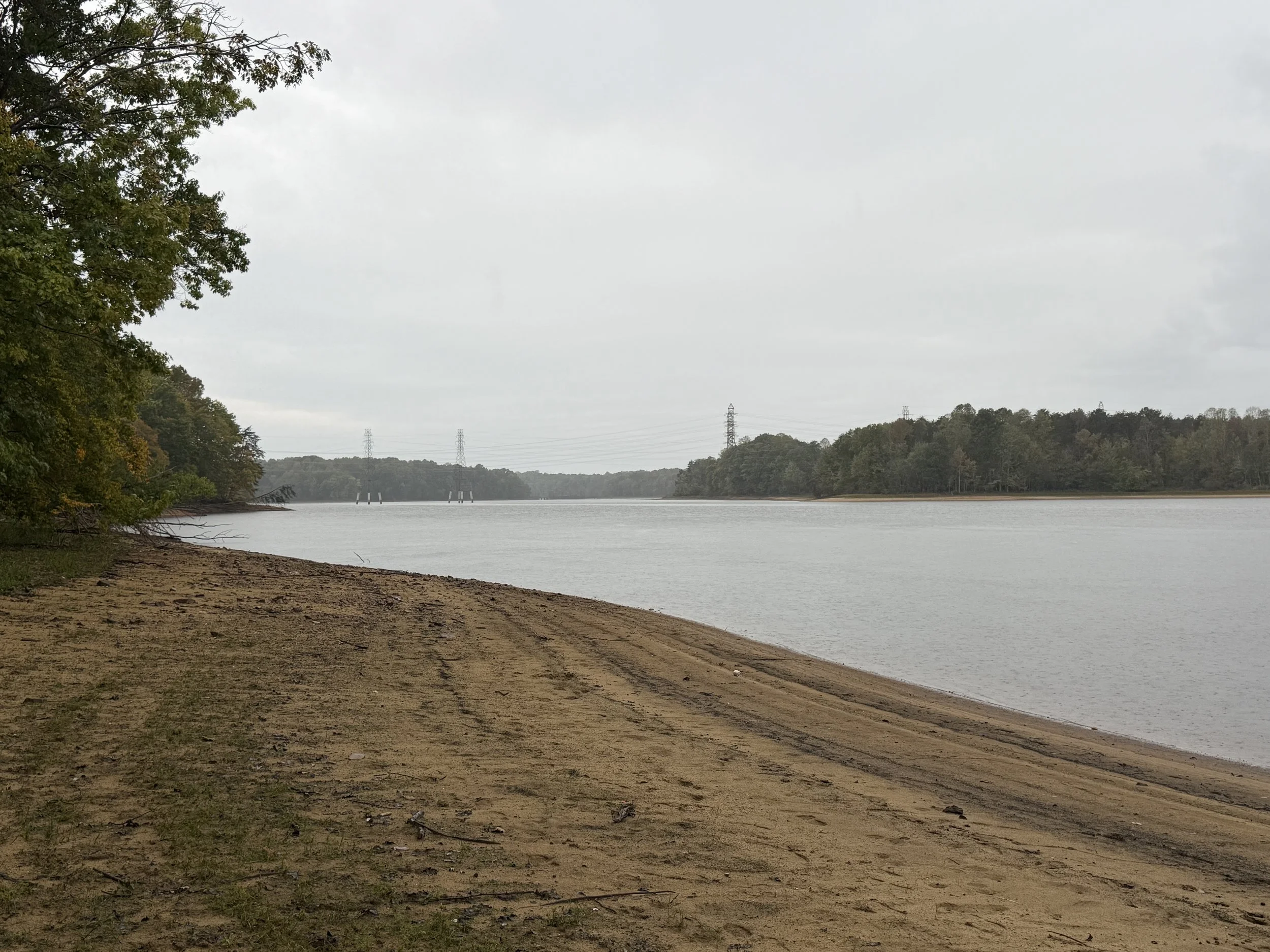
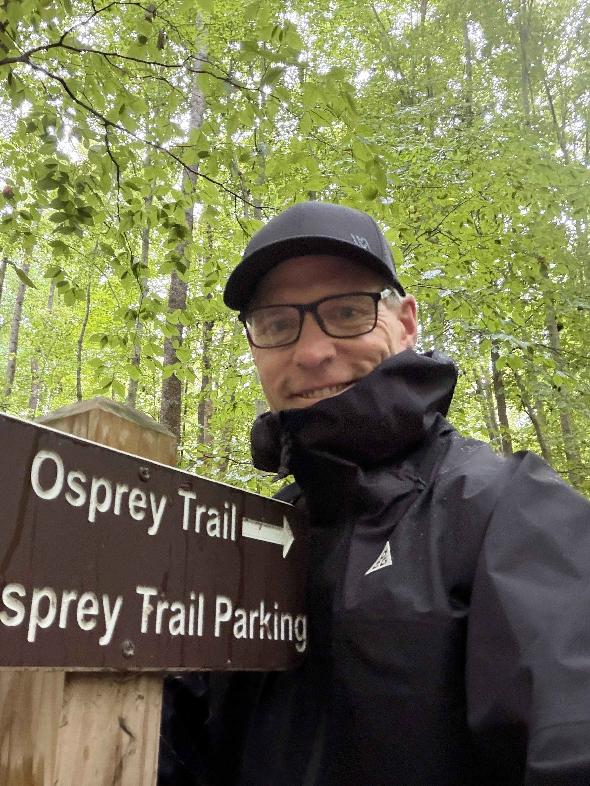
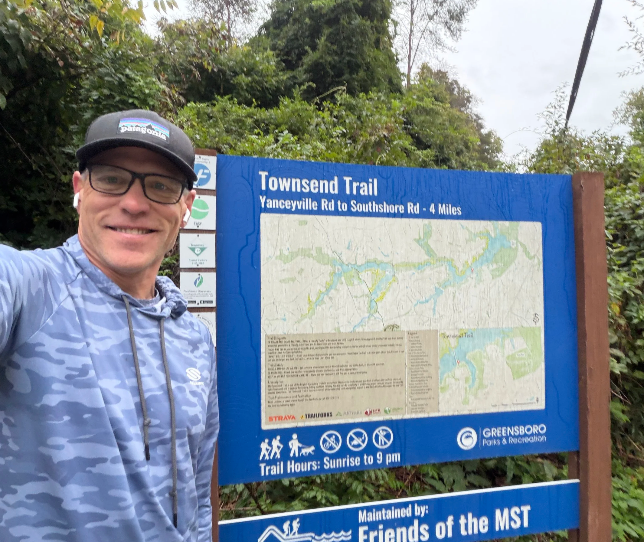
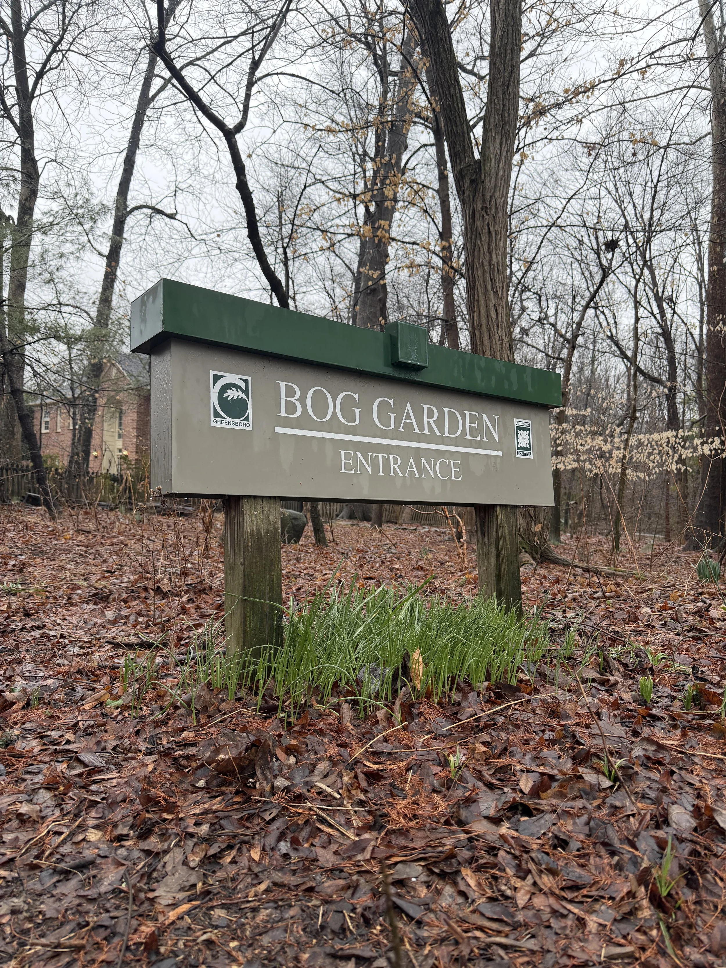
The entrance utilized for this hike sits directly across from the Townsend Trail on Yanceyville Road, providing one of the trail's three main access points (with a third on Church Street). Side-of-the-road parking at this location is extremely limited. More importantly, crossing the pavement here is a genuine safety hazard due to cars constantly speeding past. The city desperately needs to address traffic speed and implement safety measures in this area, so exercise extreme caution when parking and getting across to the trailhead.



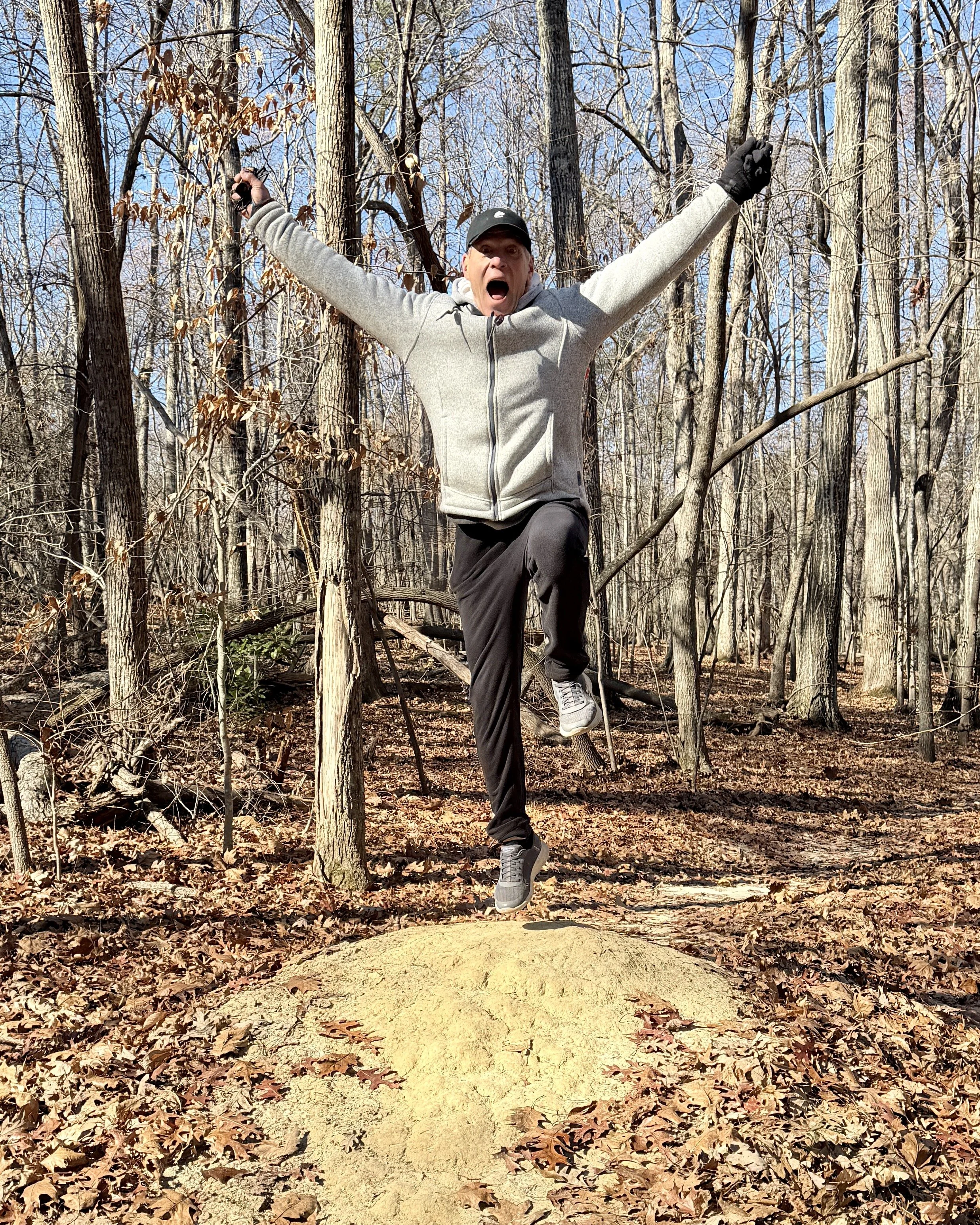

Rain Whisperer