
“You either suffer the pain of discipline or the pain of regret. The choice is yours.” - Jim Rohn
“If you ever remember me, please remember that I was someone who loved you so much that he couldn't see past his own heart, and that he is sorry for every bit of pain he caused you.” - F. Scott Fitzgerald
“I think that if God forgives us, we must forgive ourselves. Otherwise, it is almost like setting up ourselves as a higher tribunal than Him.” - C.S. Lewis
Hikes at a glance:
Distance: 5.8 miles total across four trails
Difficulty: Easy to moderate with two steady climbs
Trail types: Interlocking lollipops, paved walkways, and mostly natural dirt paths
Highlights: General Cornwallis’s Revolutionary War route, 1700s Moravian cemetery, and creek bluffs
A Welcome Start in a Living History Lesson
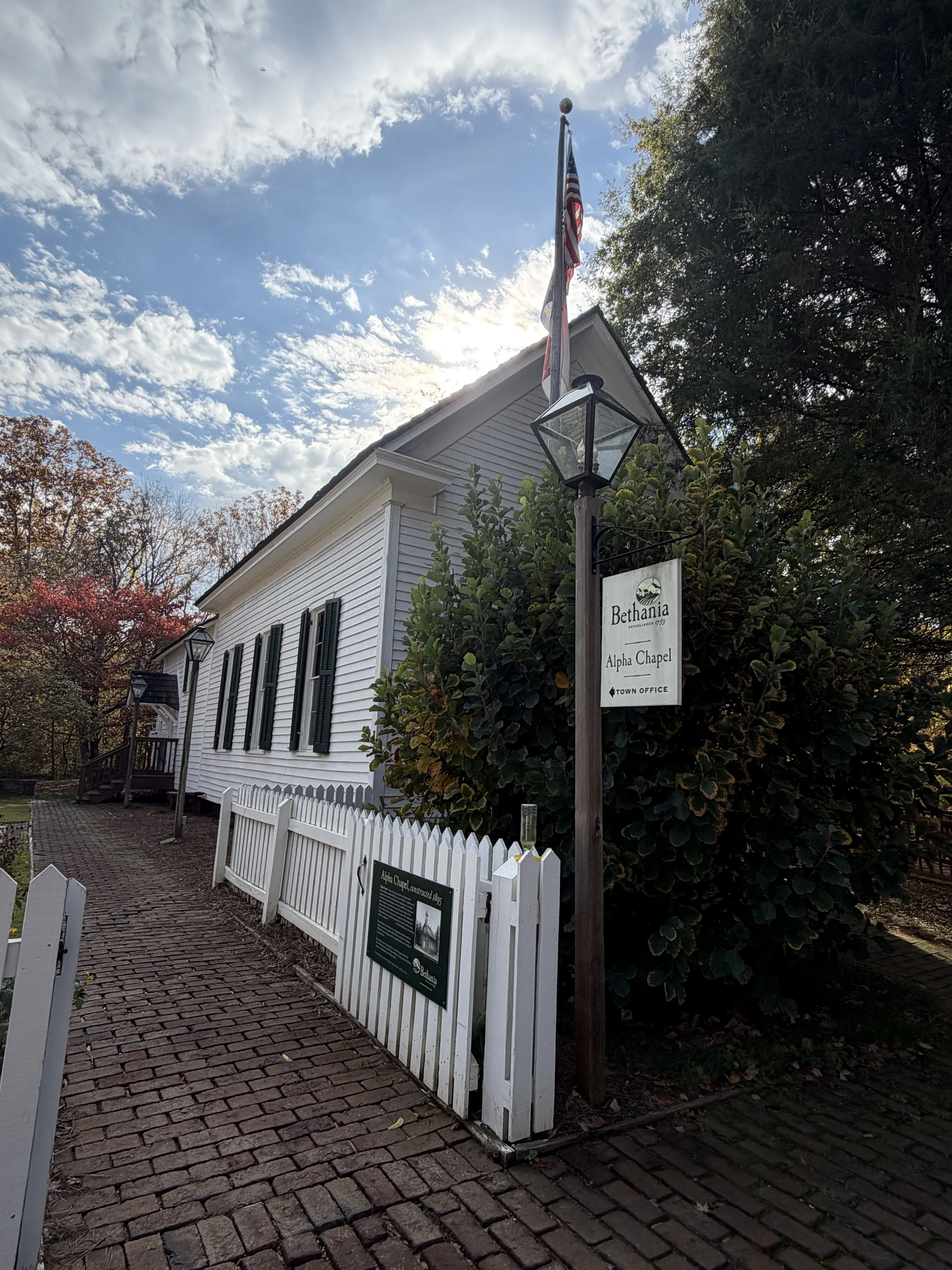
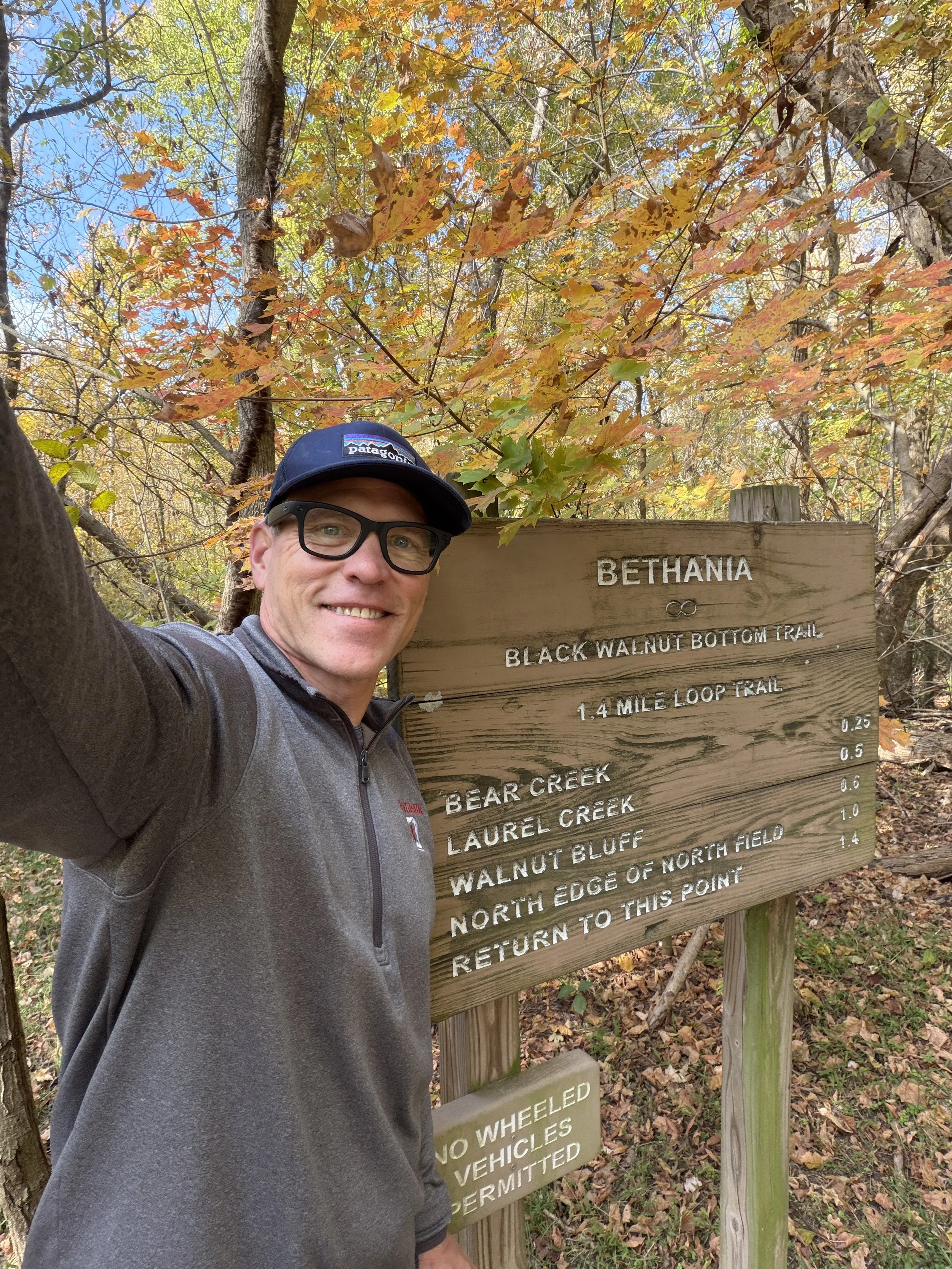
Historic Bethania feels like a place where the 18th century forgot to pack its bags and leave. I pulled into the visitor center parking lot on a crisp, perfectly sunny day to grab a map and orient myself. Inside, Karen at the town office got me sorted with maps and local context. I also crossed paths with Julie from the visitor center, who provided the kind of hyper-local trivia you only get from residents. She has lived in the 1759 Speas House since 1982. Armed with paper maps and some local perspective, I set off for the first trailhead.
Black Walnut Bottom Trail: The Crowd-Pleaser
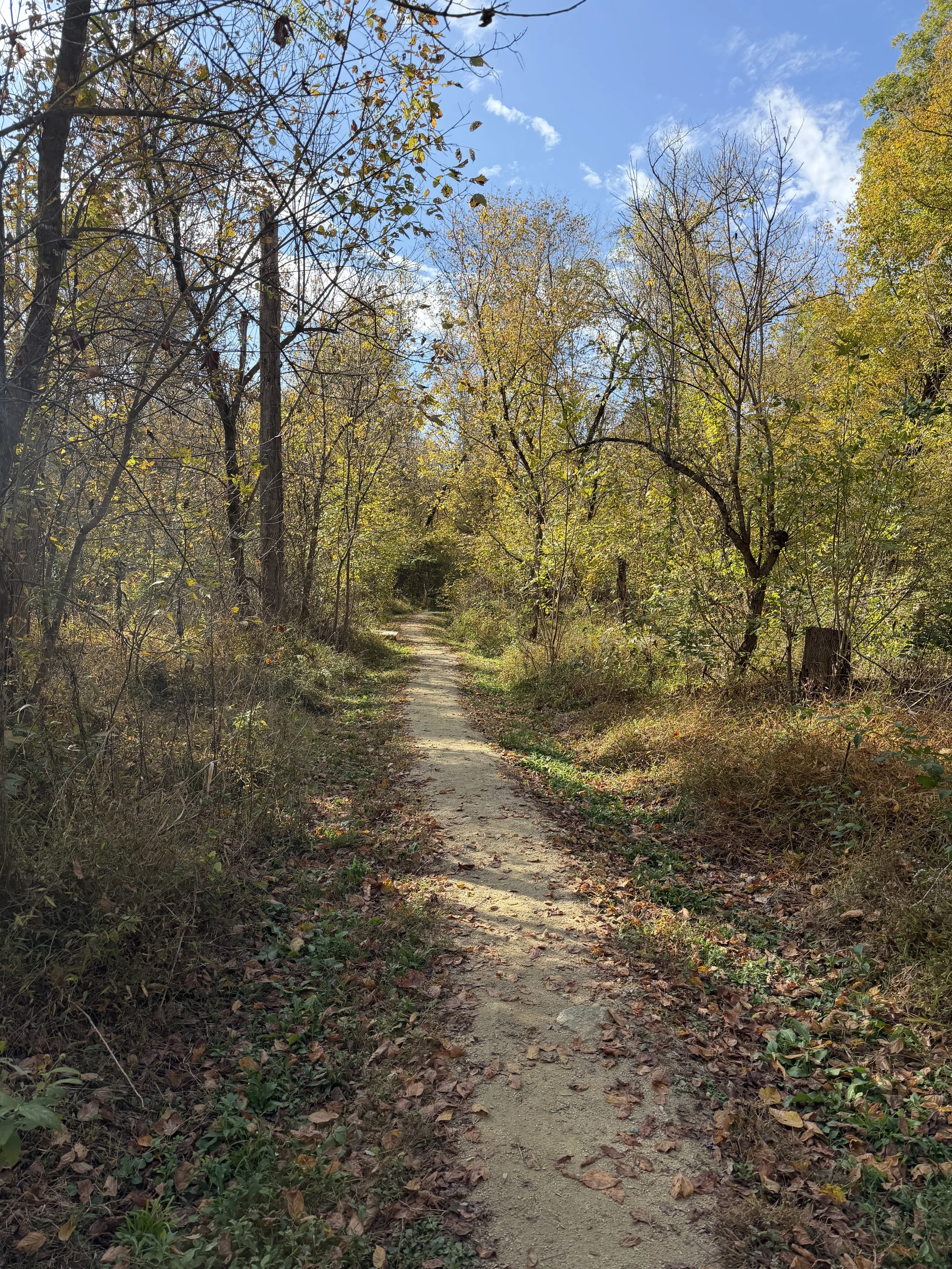
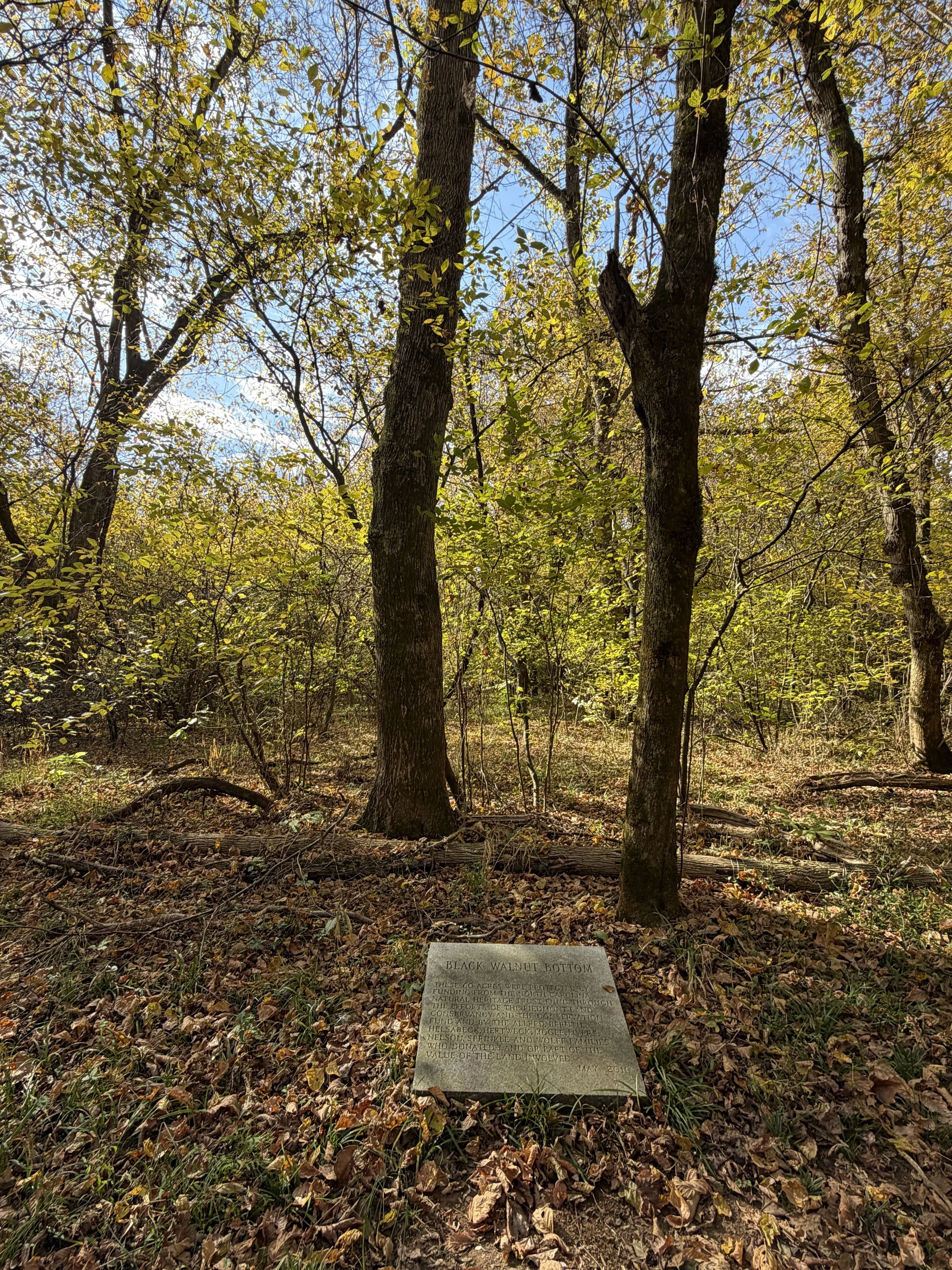
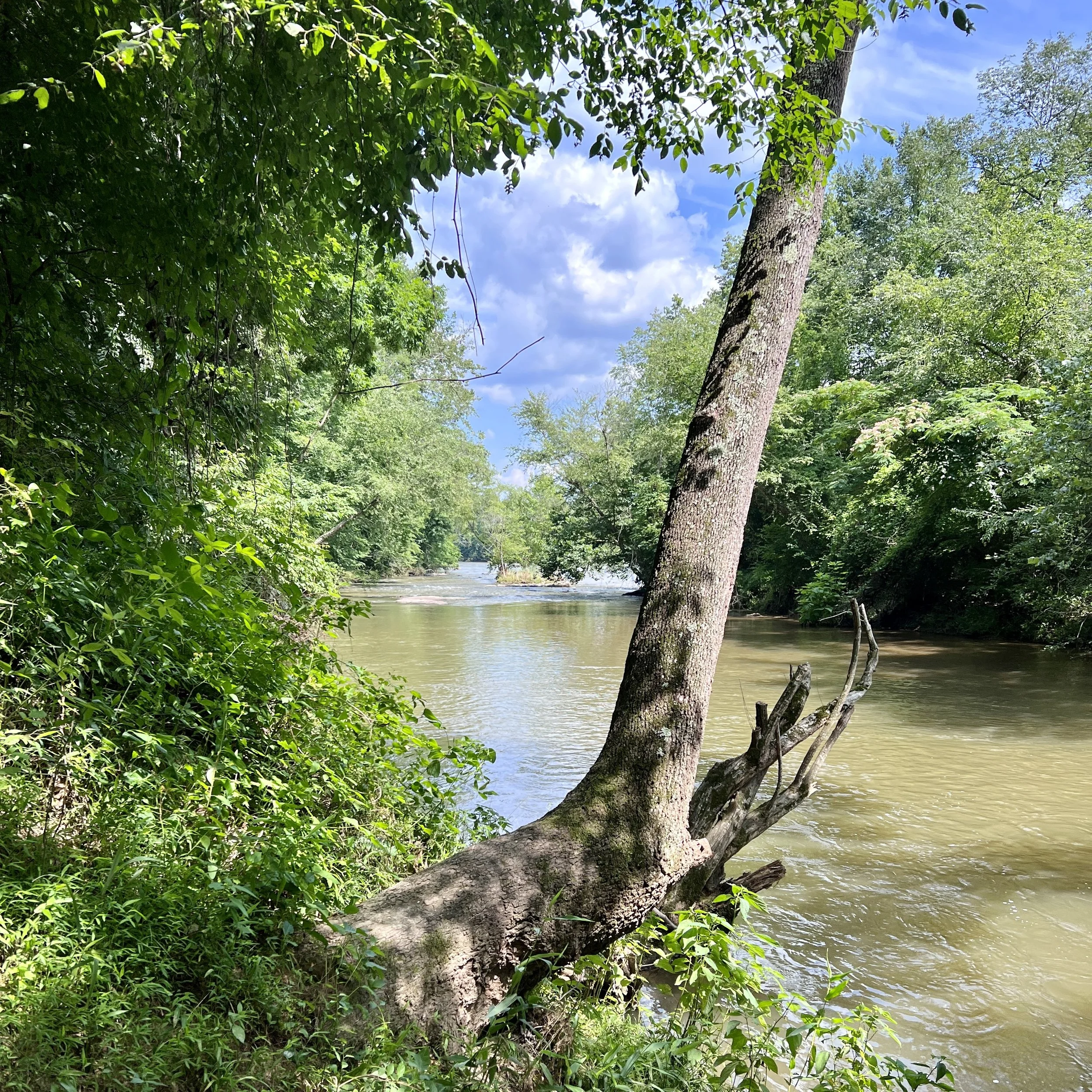
The most popular route in the system starts right behind the town office and visitor center. The path is a slightly raised natural surface that wastes no time introducing you to the local wildlife. The woods were loud with the sounds of singing and chirping birds. Structurally, the trail is configured as a series of connected lollipop loops with slight curves on mostly flat terrain.
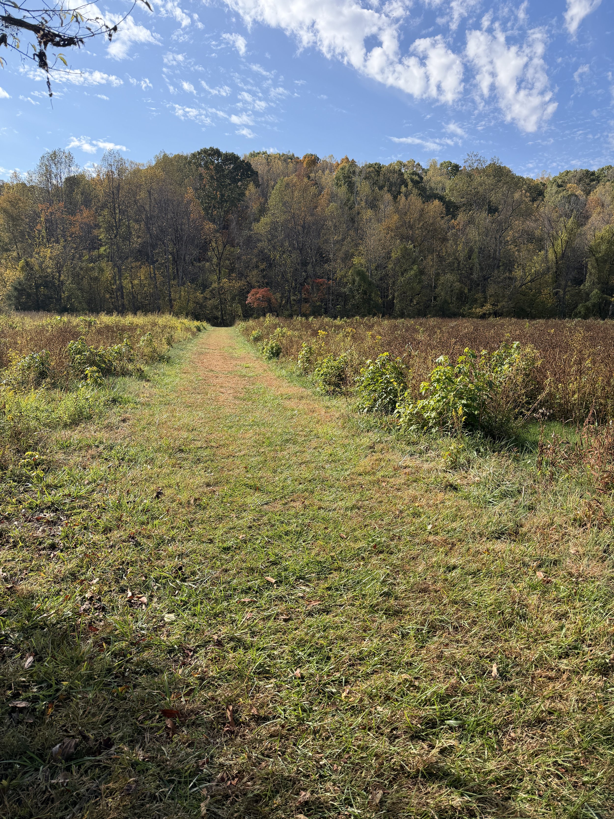
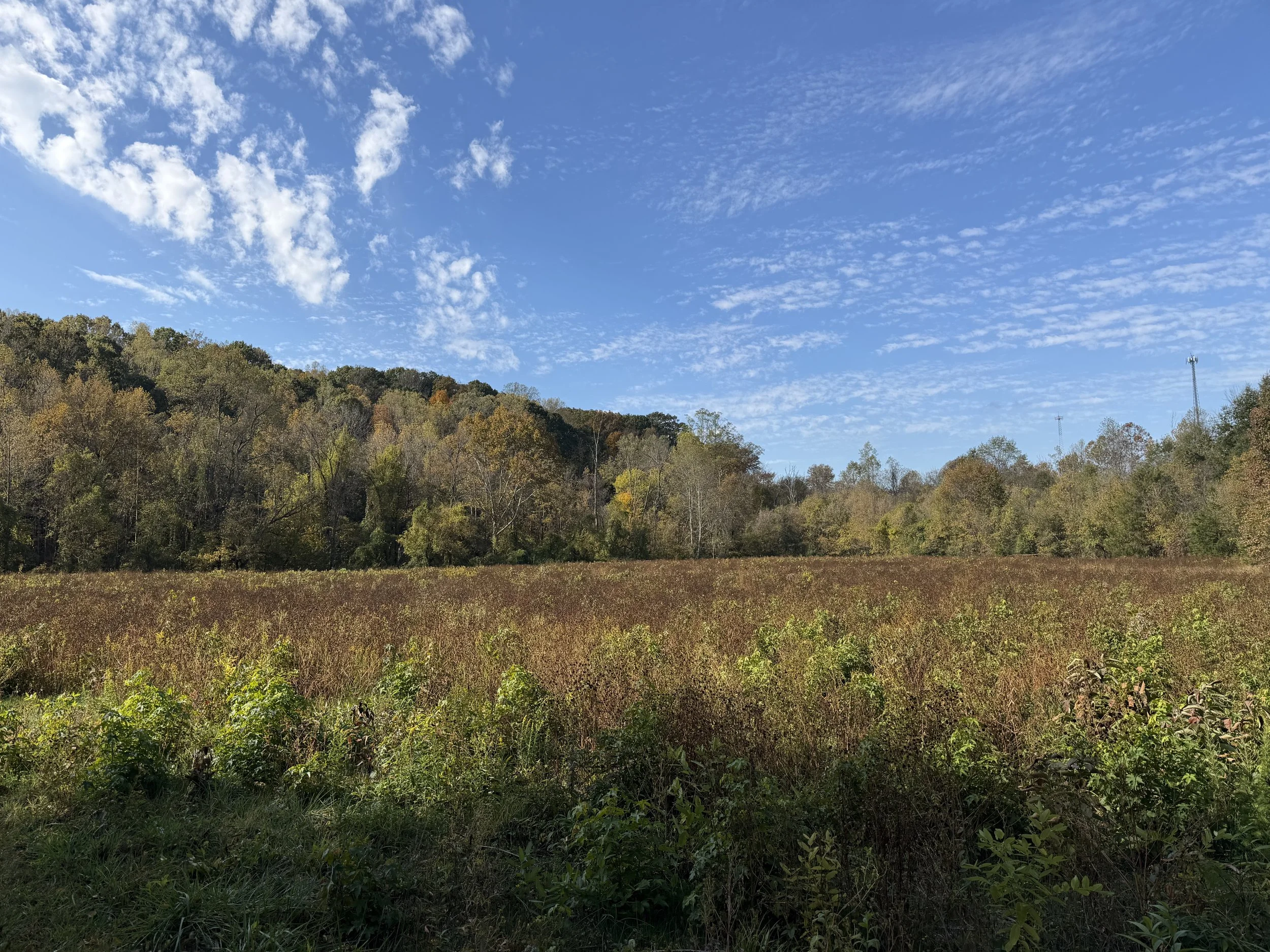
At the end of the initial stem, I took the loop clockwise. After crossing a dry creek bed, the trail follows a second loop system where I also stayed clockwise. Roughly a quarter-mile in, the forest canopy breaks, exposing the trail to an open area for about 100 yards before plunging back into the woods near Bear Creek. Another quarter-mile later, the forest opens up briefly once more. The inside edge of the trail was packed with thousands of tall goldenrods, weeping willows, hemp dogbane, and ferns.
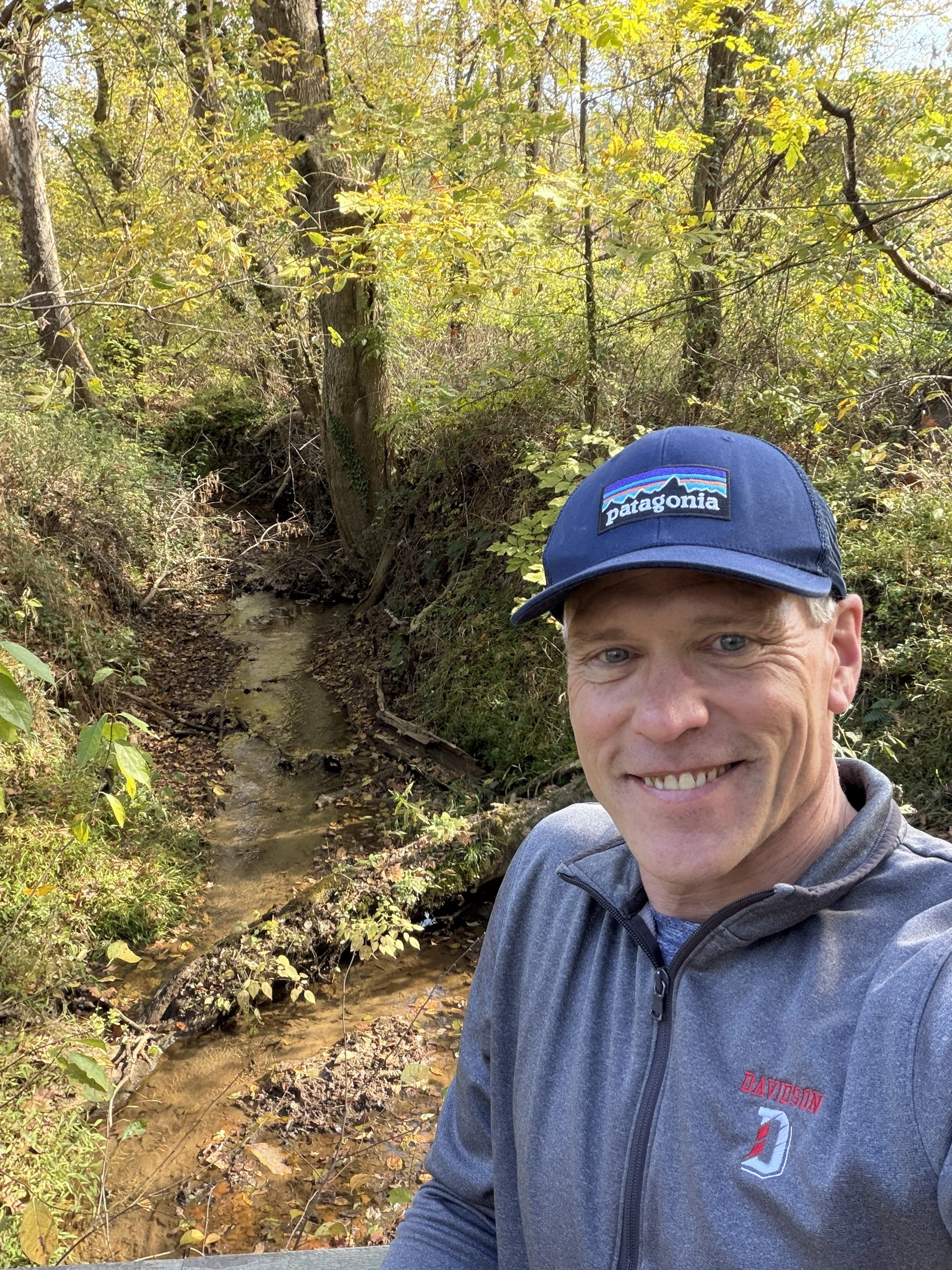
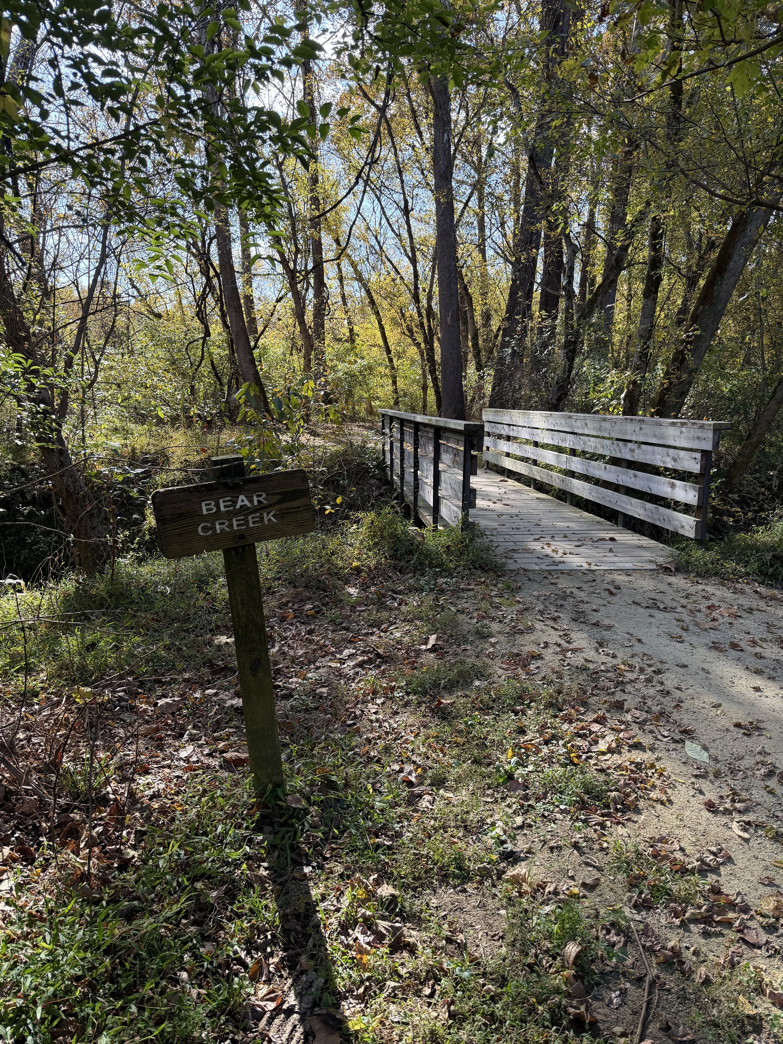
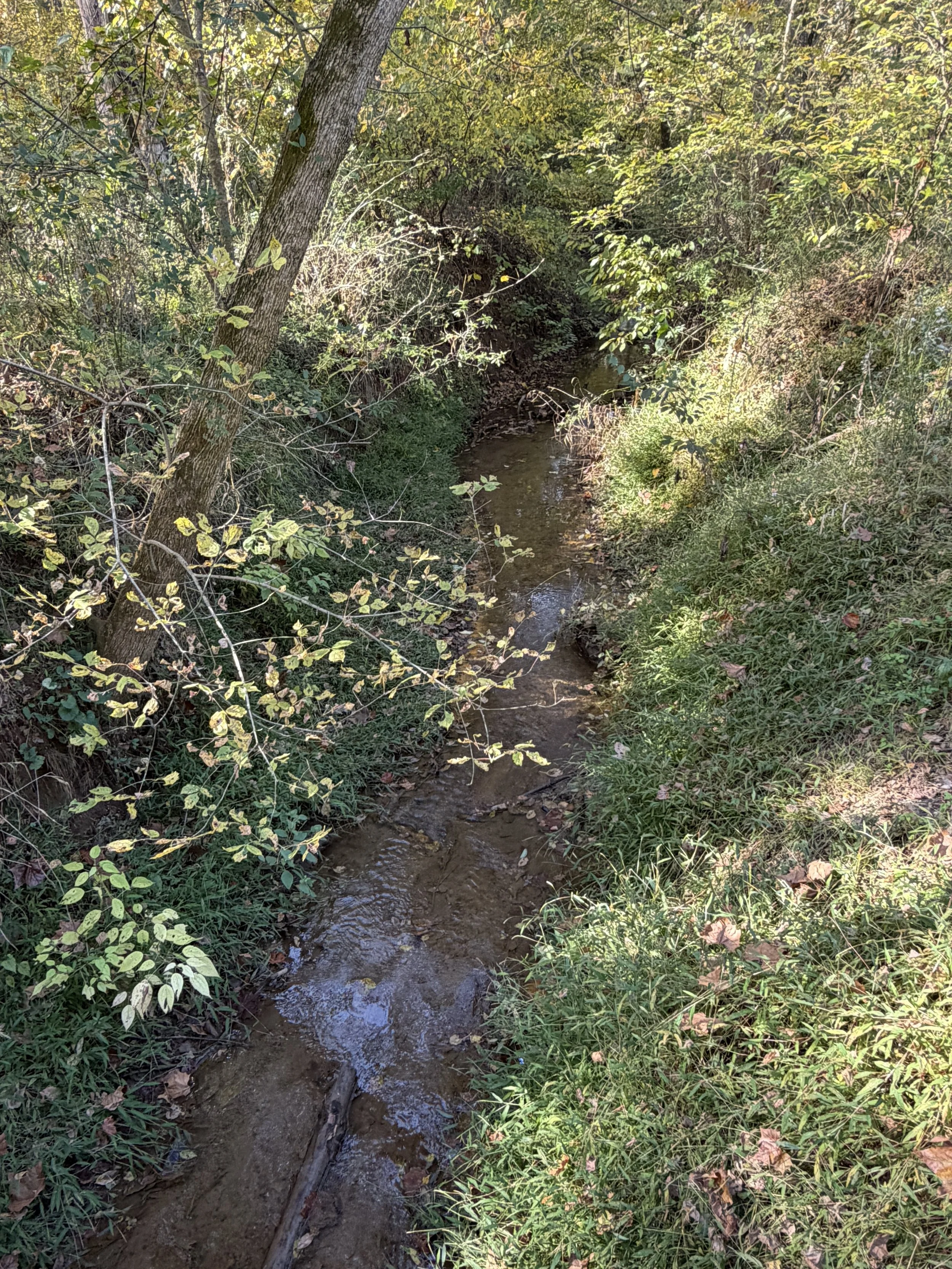
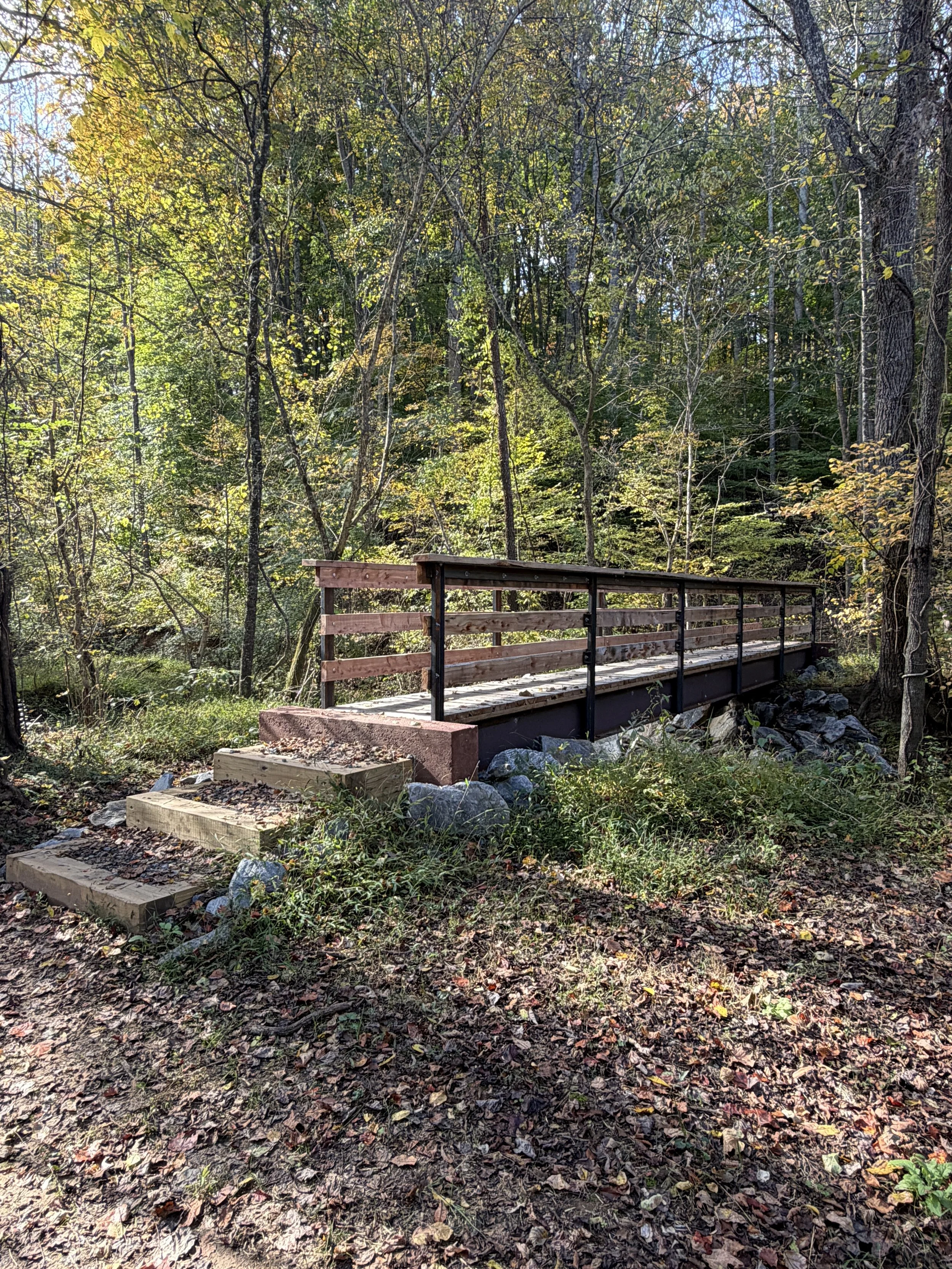
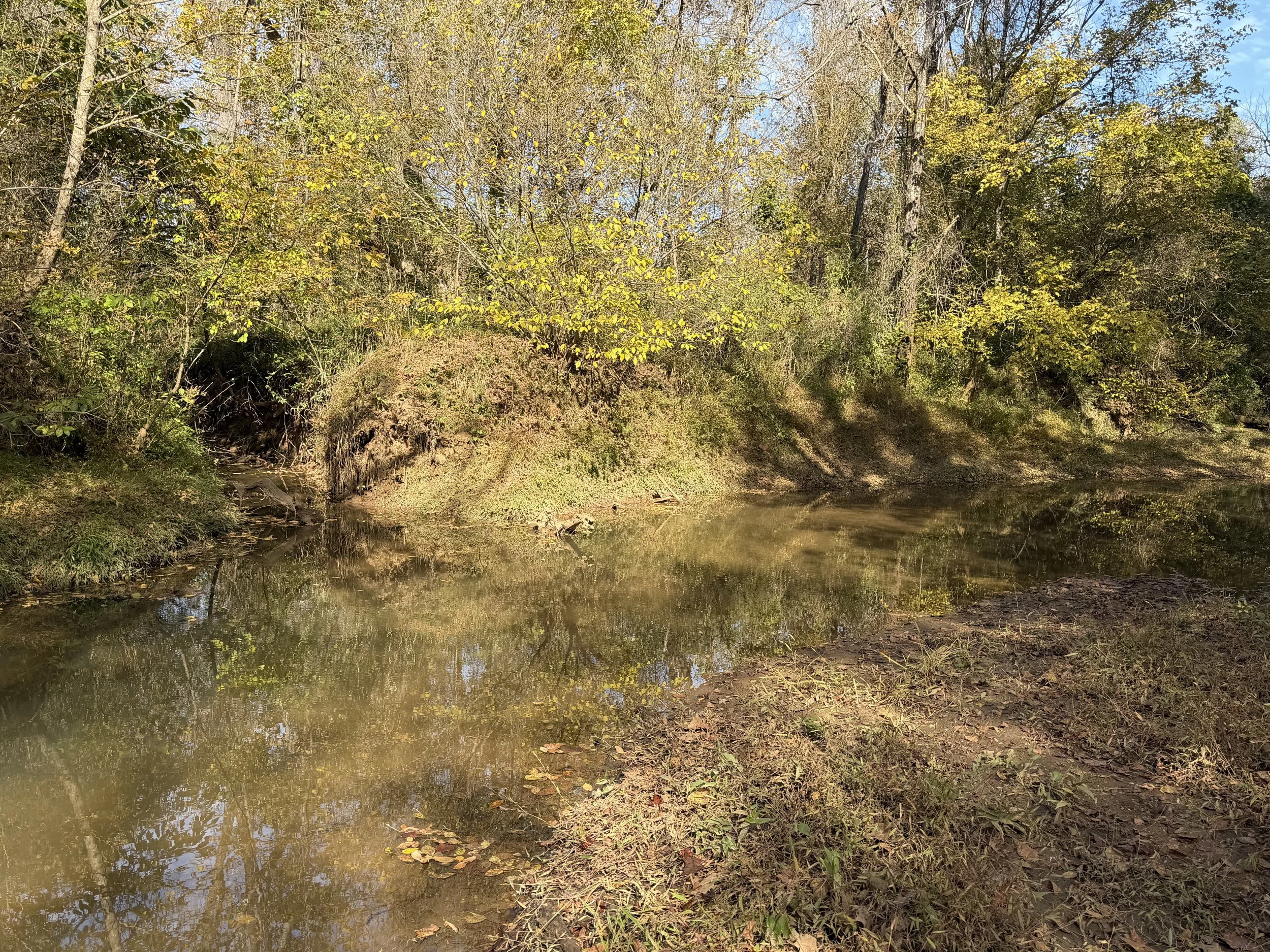
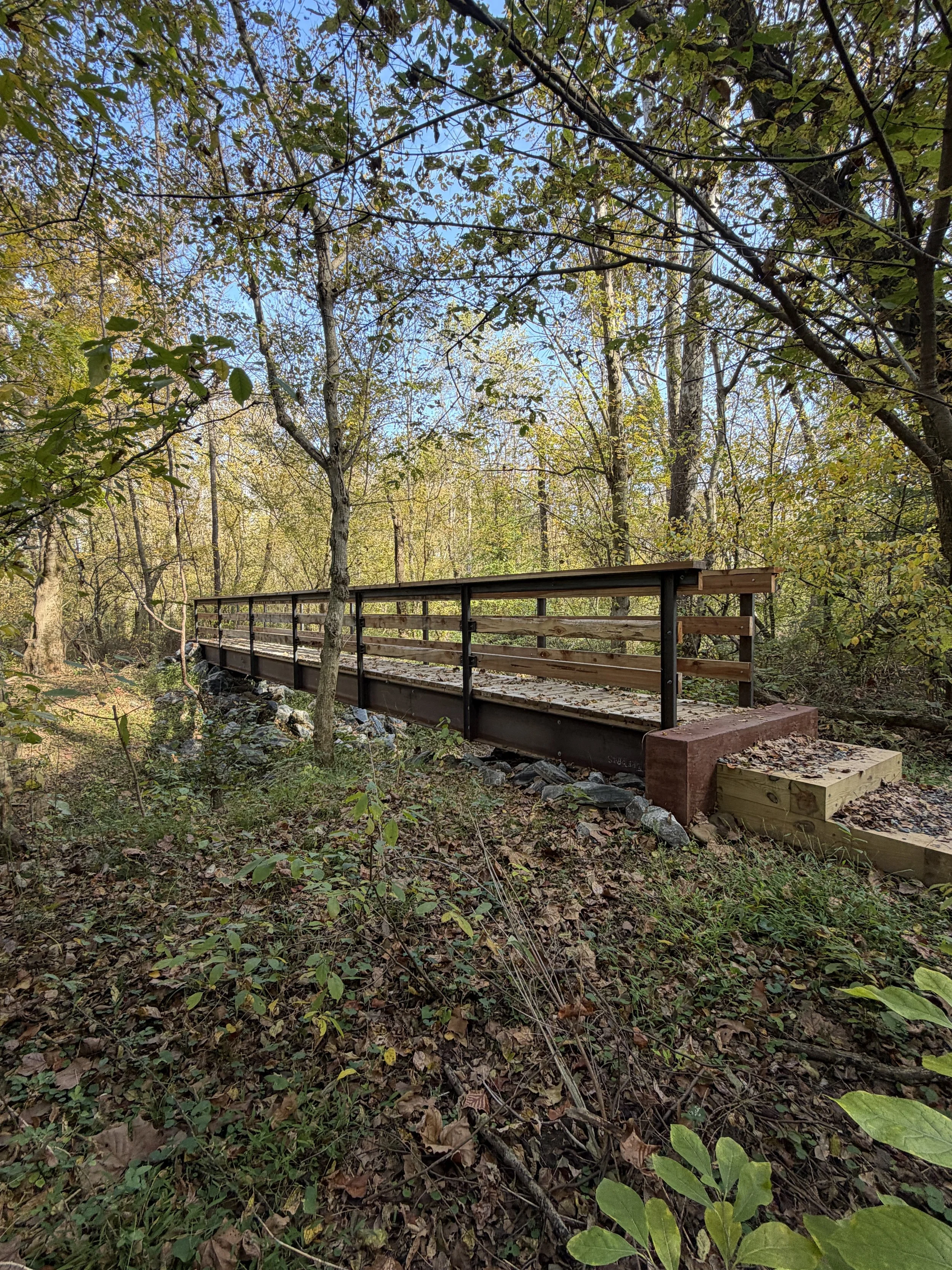
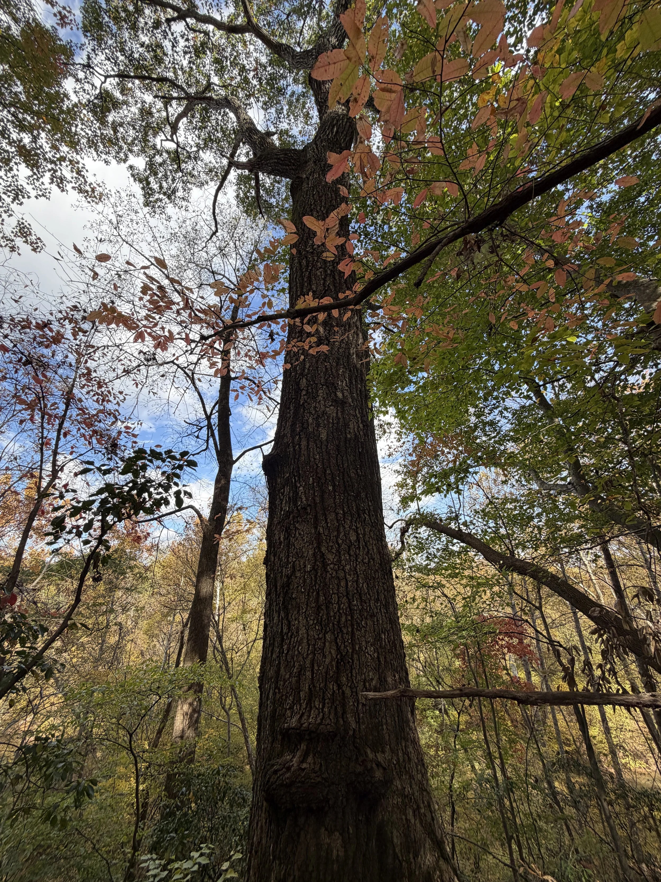
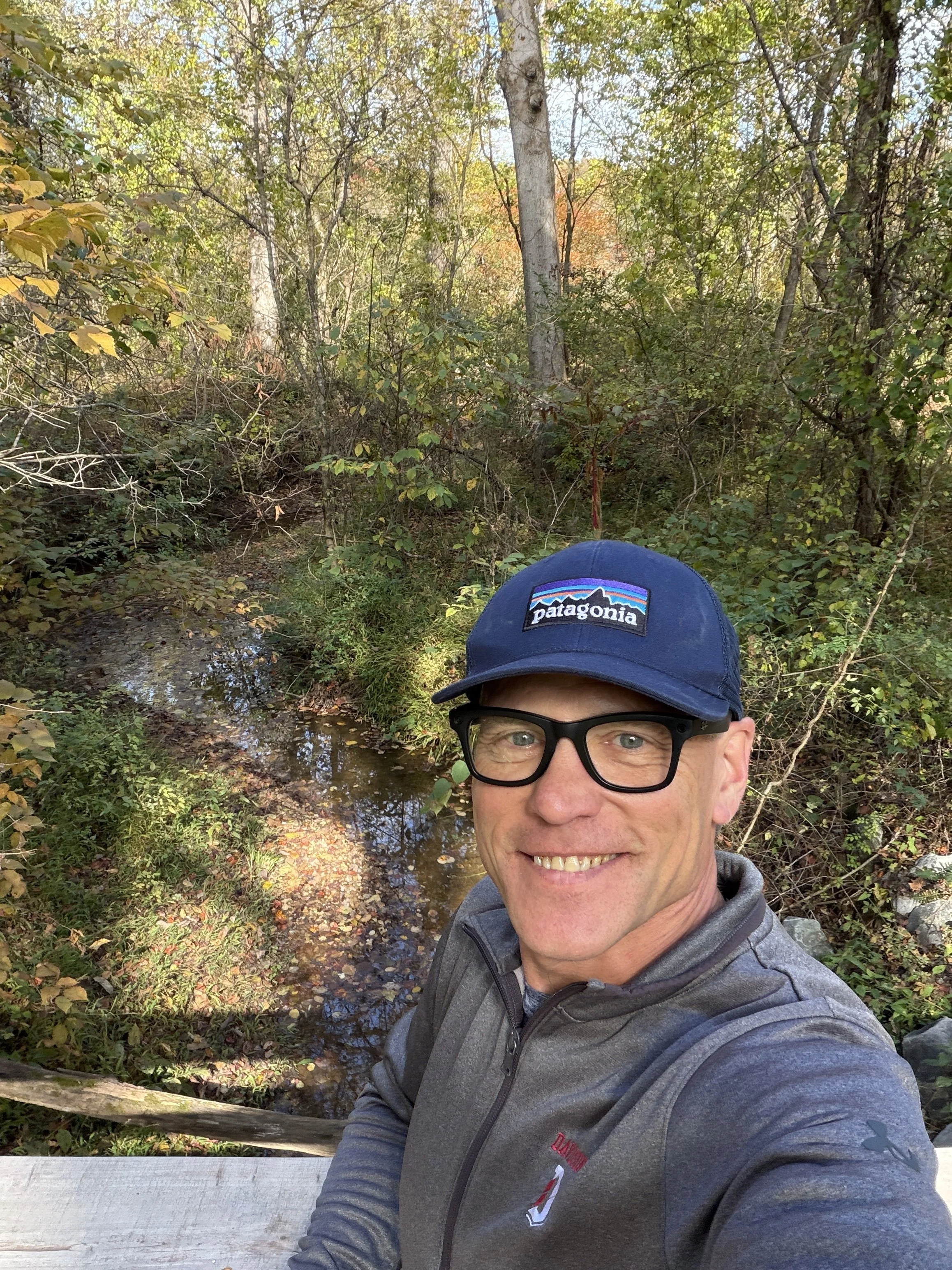
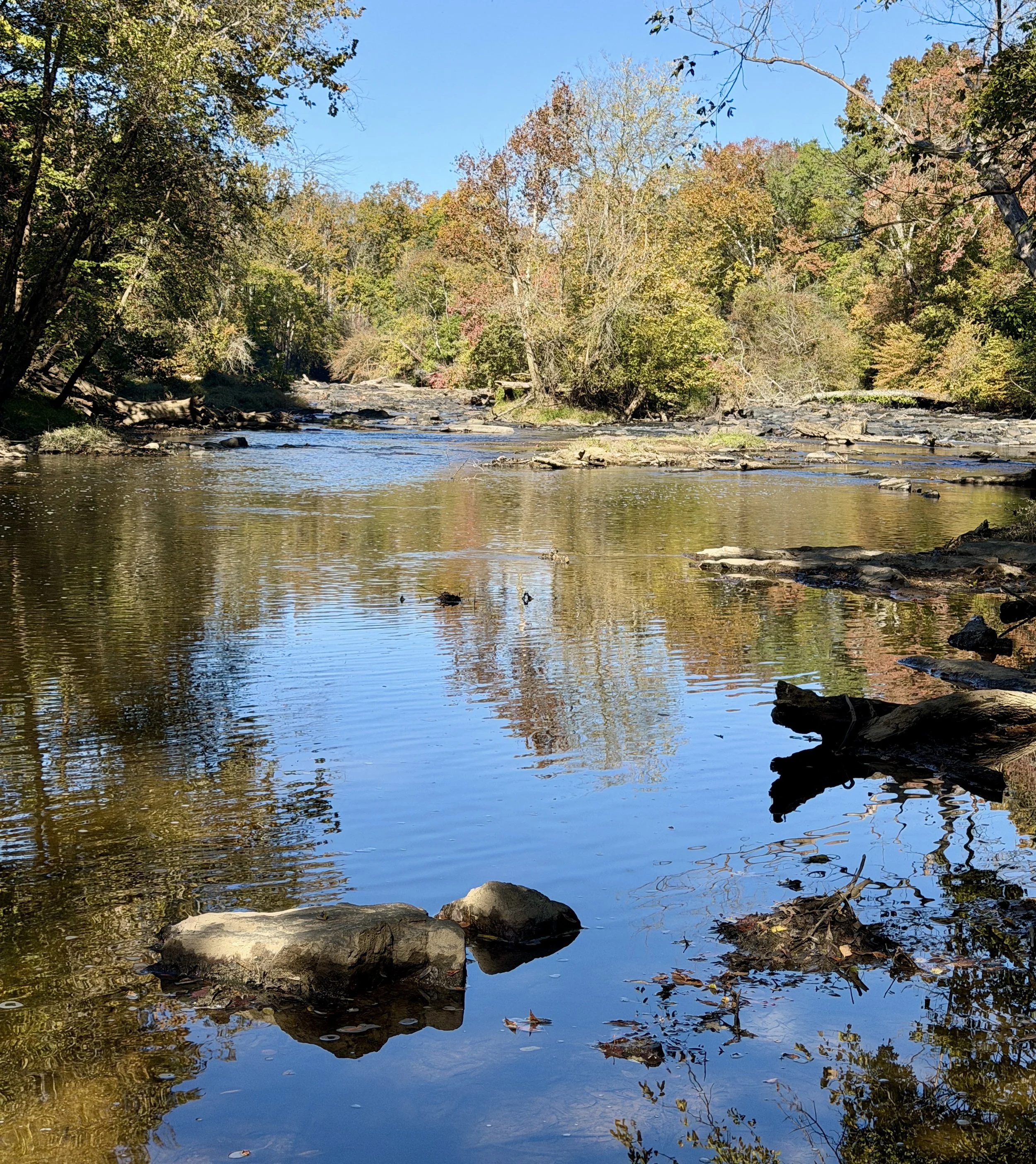
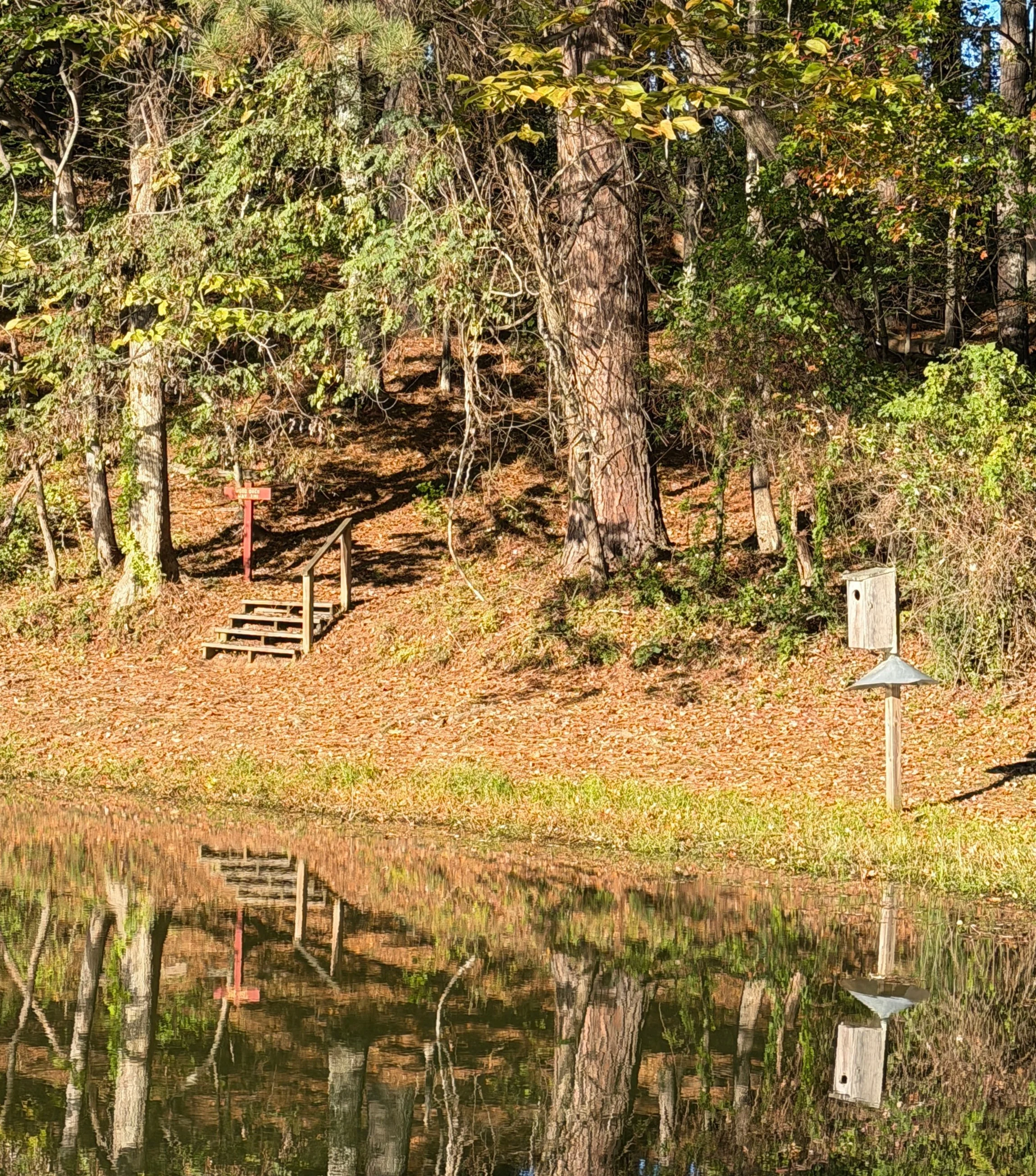
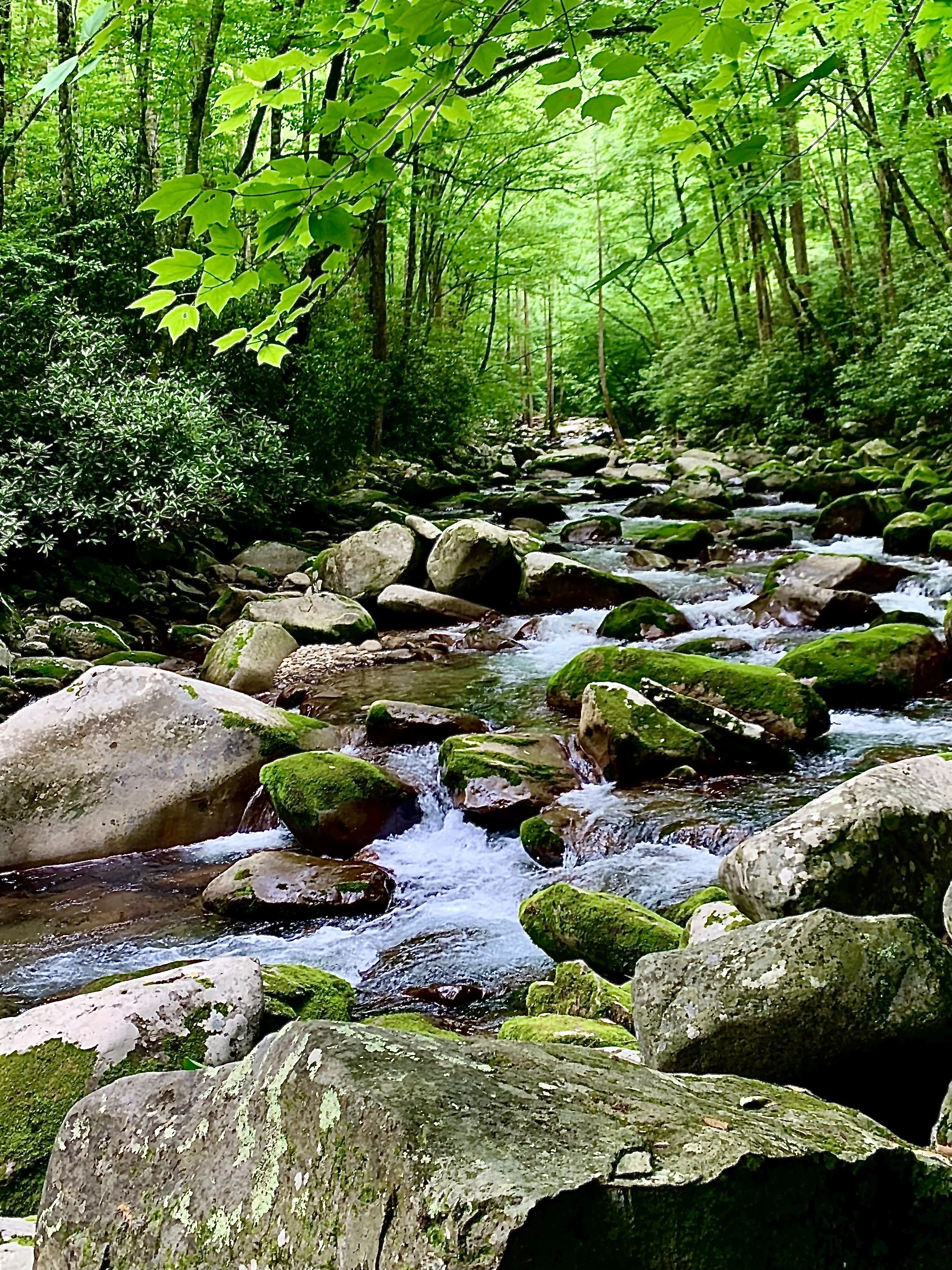
The forest itself is an eclectic mix of hardwoods, including beech, oak, elm, and walnut trees. Wildflowers and ground cover like white asters, yellow tickseed, lesser periwinkle, and American holly lined the route. Continuing clockwise, I crossed a long wooden bridge over Bear Creek where the path narrows down significantly. After a few slight undulations on otherwise flat ground, another well-made wooden bridge spans the water. Just past it, a short side trail leads directly to the banks of Muddy Creek. Despite the name, the water was remarkably clear.
The town has placed plenty of benches along this stretch for sitting and listening to the water. After exploring a few more side paths down to the water's edge, the loop brought me right back to the office where I started.
Graveyard Trail: Walking the Revolutionary Footsteps
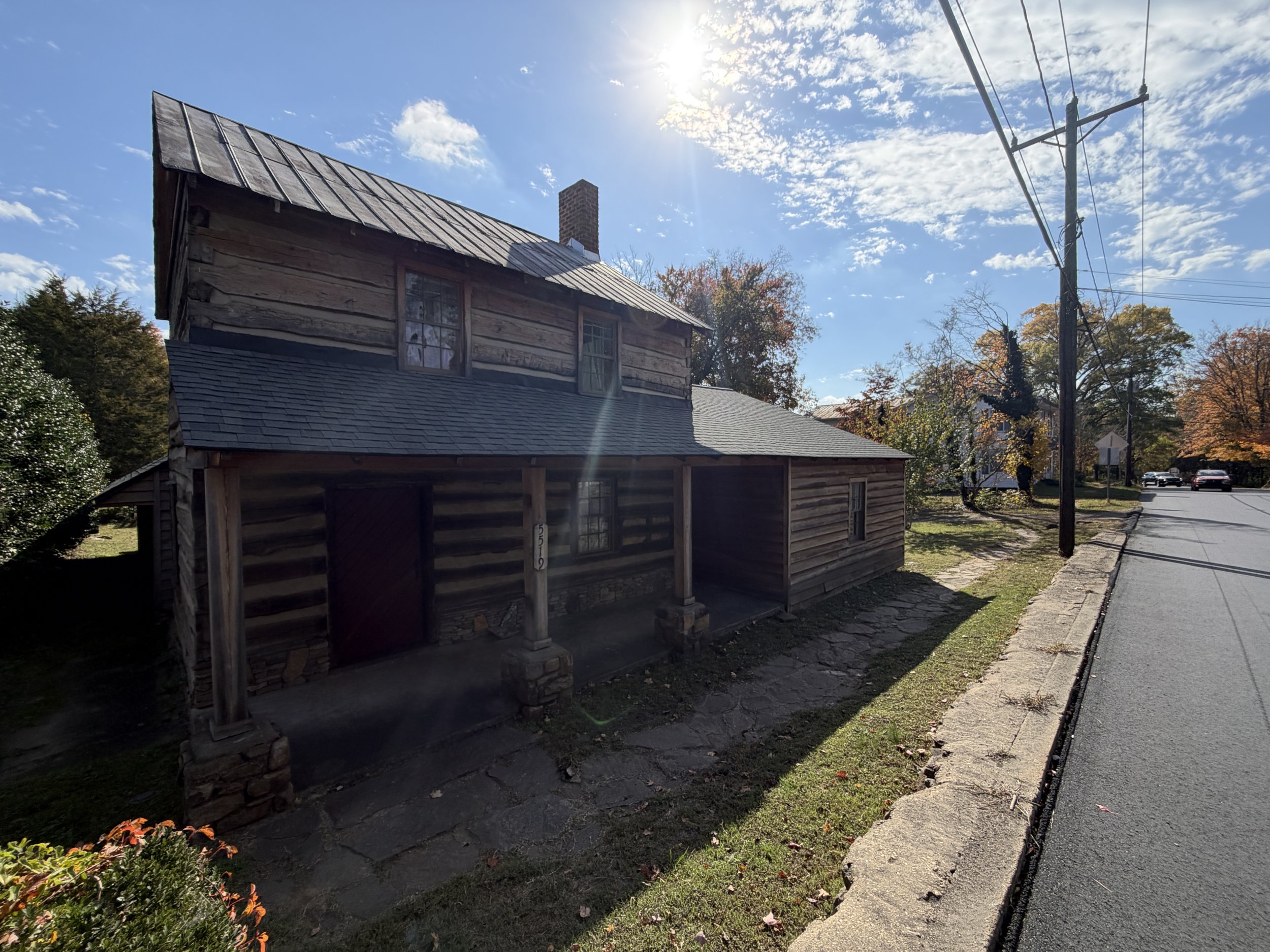
For the second leg, I left the car at the visitor center and walked two blocks to the local Moravian church. On the way, I passed Julie’s brother working outside the historic Speas House. The actual entrance to the cemetery is behind a large white Millshop building directly across the street from the visitor center.
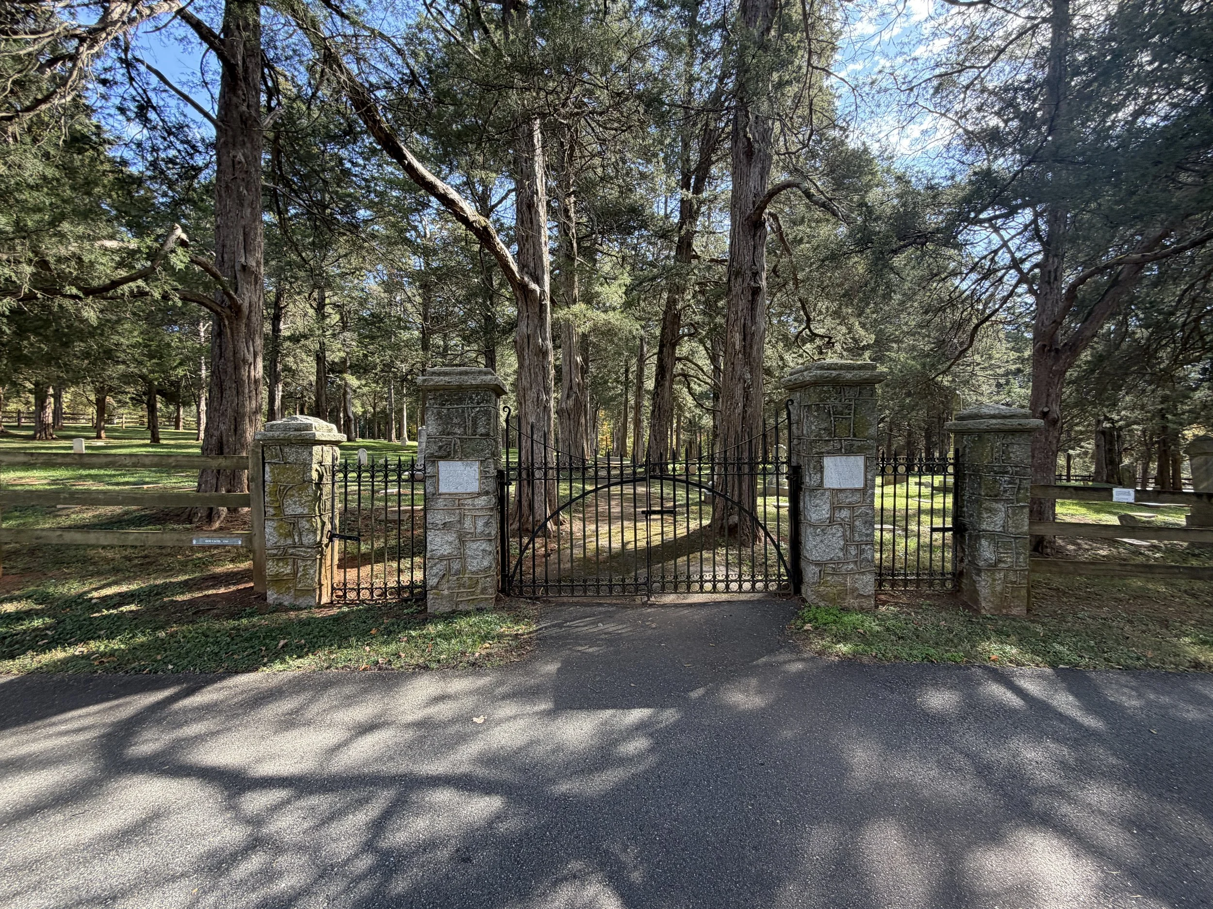
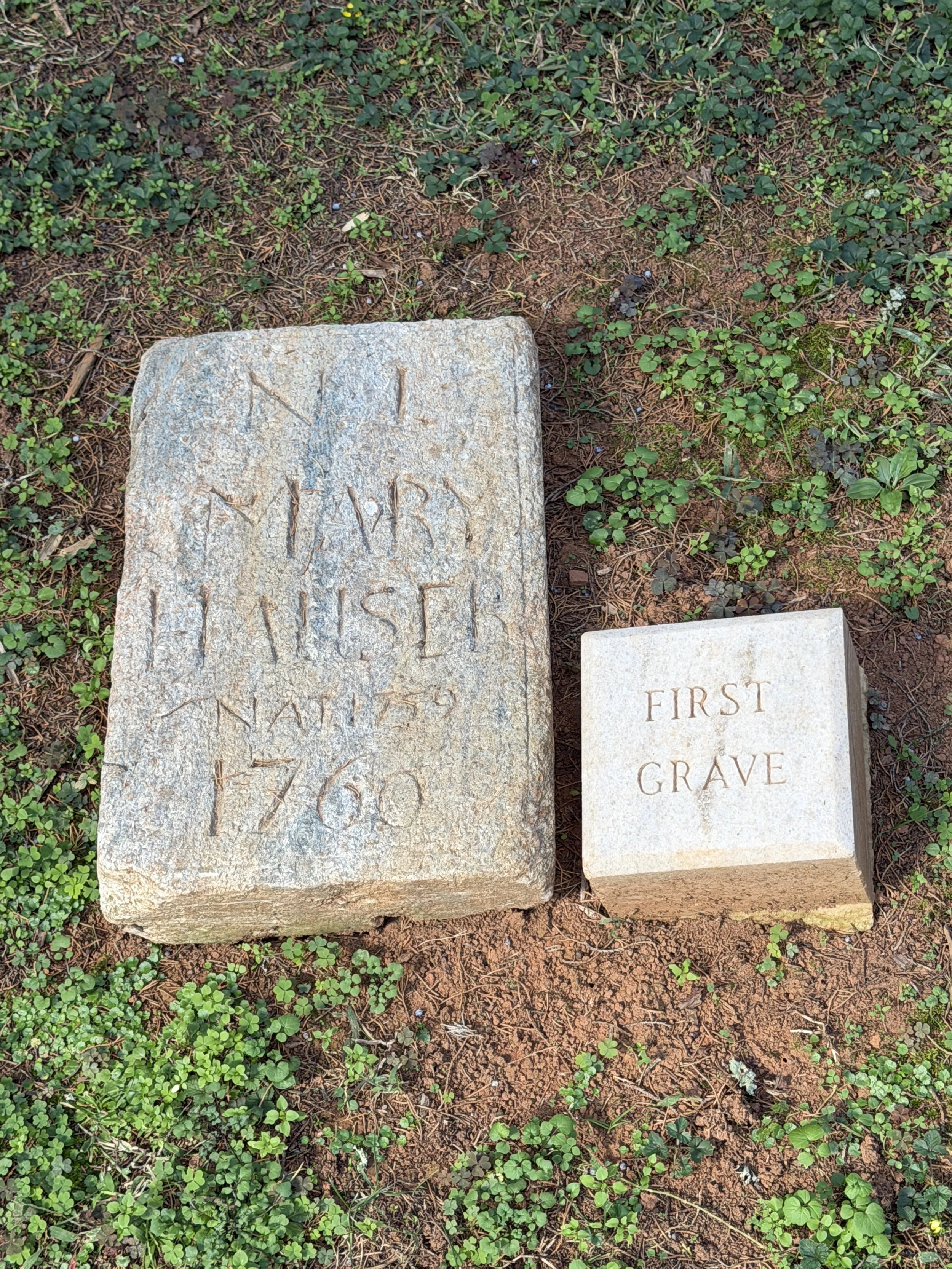
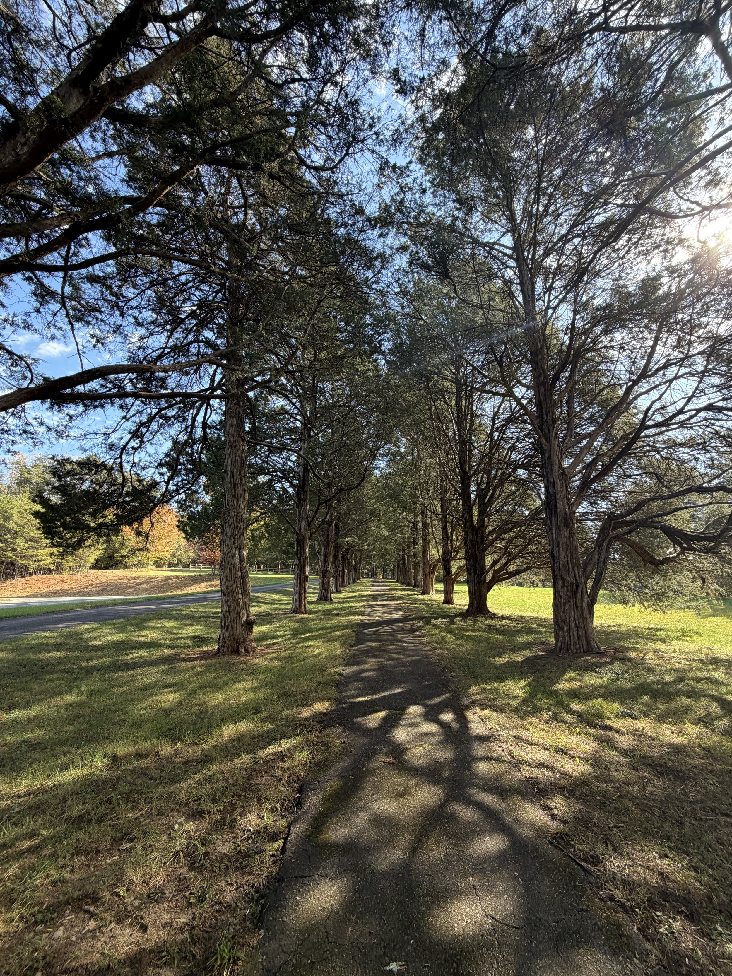
The trail begins on a long asphalt walkway lined with old, massive red cedar trees. I opened a heavy iron gate to enter the cemetery, known historically as God’s Acre. The grounds were completely immaculate. I tracked down the earliest recorded grave from 1760, which features an identifying historical marker. Many of the headstones mark the final resting places of people born in the late 1600s and early 1700s. According to Julie, the cemetery still hosts funerals today, though modern residents must meet strict historical and community requirements to be buried here.
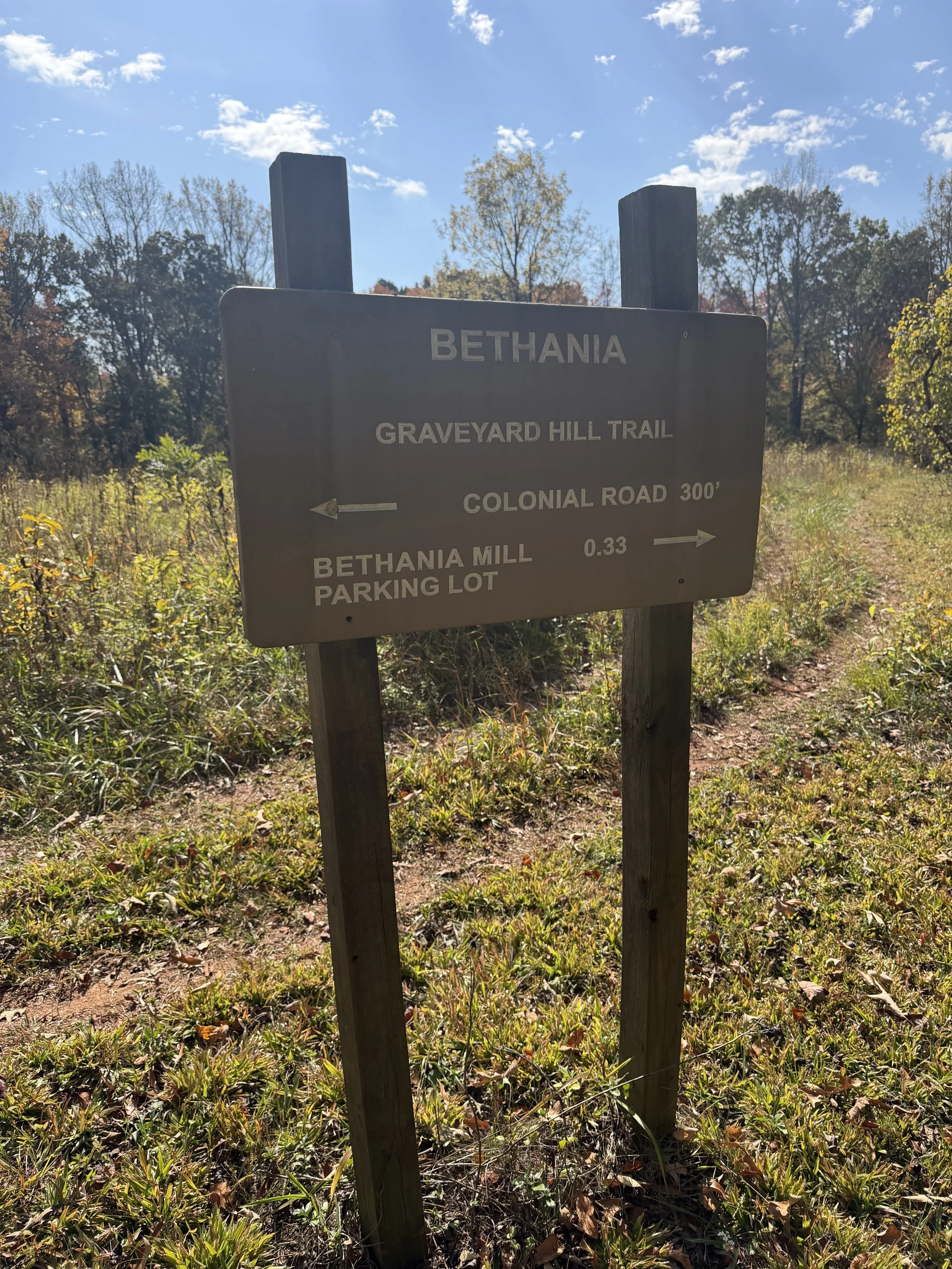
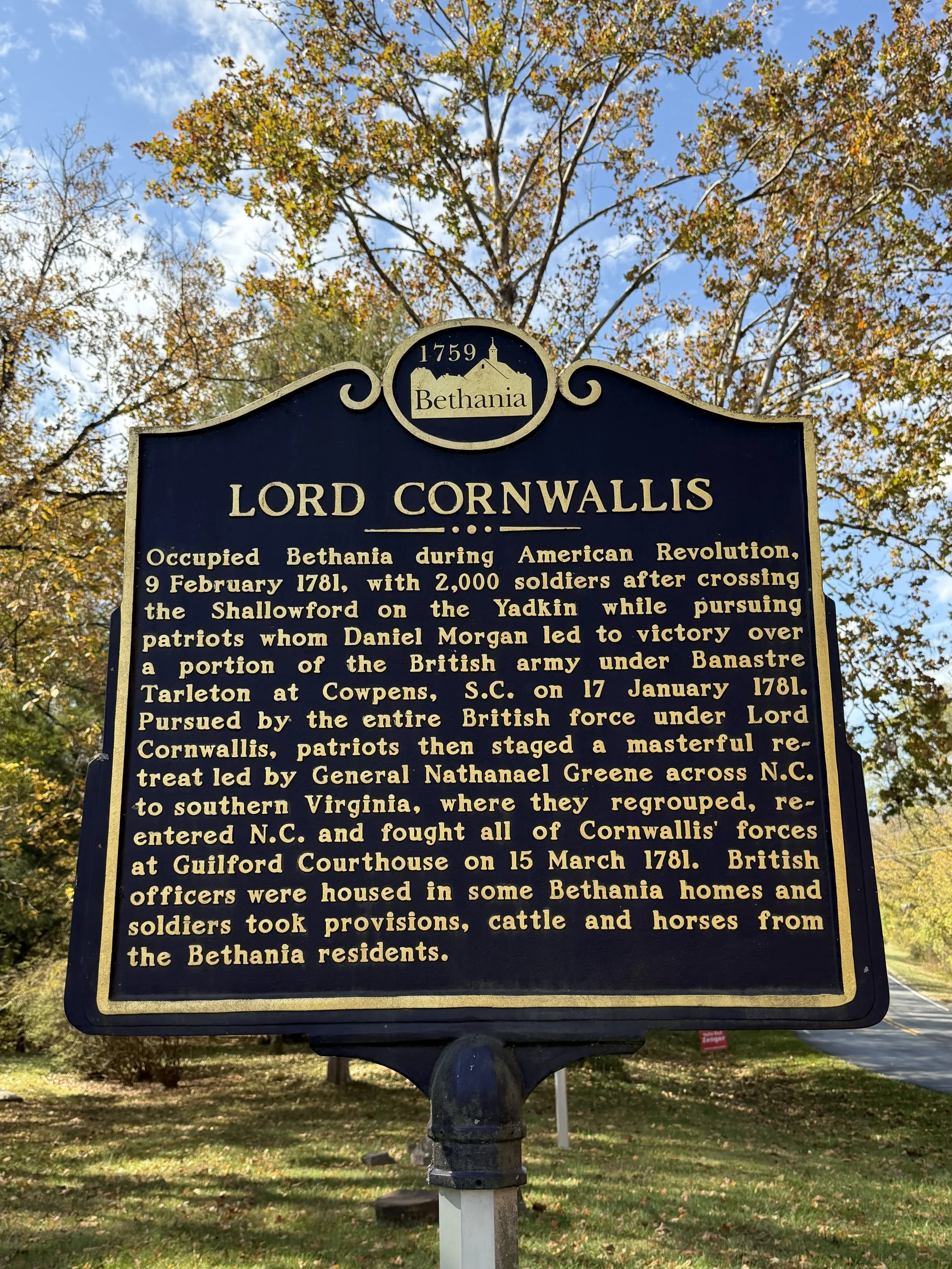
From the cemetery, the trail transitions directly onto the historic Colonial Road. Walking this stretch means tracing the exact route used by General Cornwallis and his army during the Revolutionary War campaigns. This specific historical corridor is known as the Graveyard Hill Trail, providing a tangible connection to the military movements that shaped the region. After finishing the stretch along the historical road, I completed the loop by returning on a narrow path through the woods back to the correct entrance.
The Orchard Trail: Pears and Hidden Springs
I returned to my car and drove around to the side of the church to park closer to the third route of the day: The Orchard Trail. The trailhead is situated at the back of an active pear orchard containing dozens of mature trees.
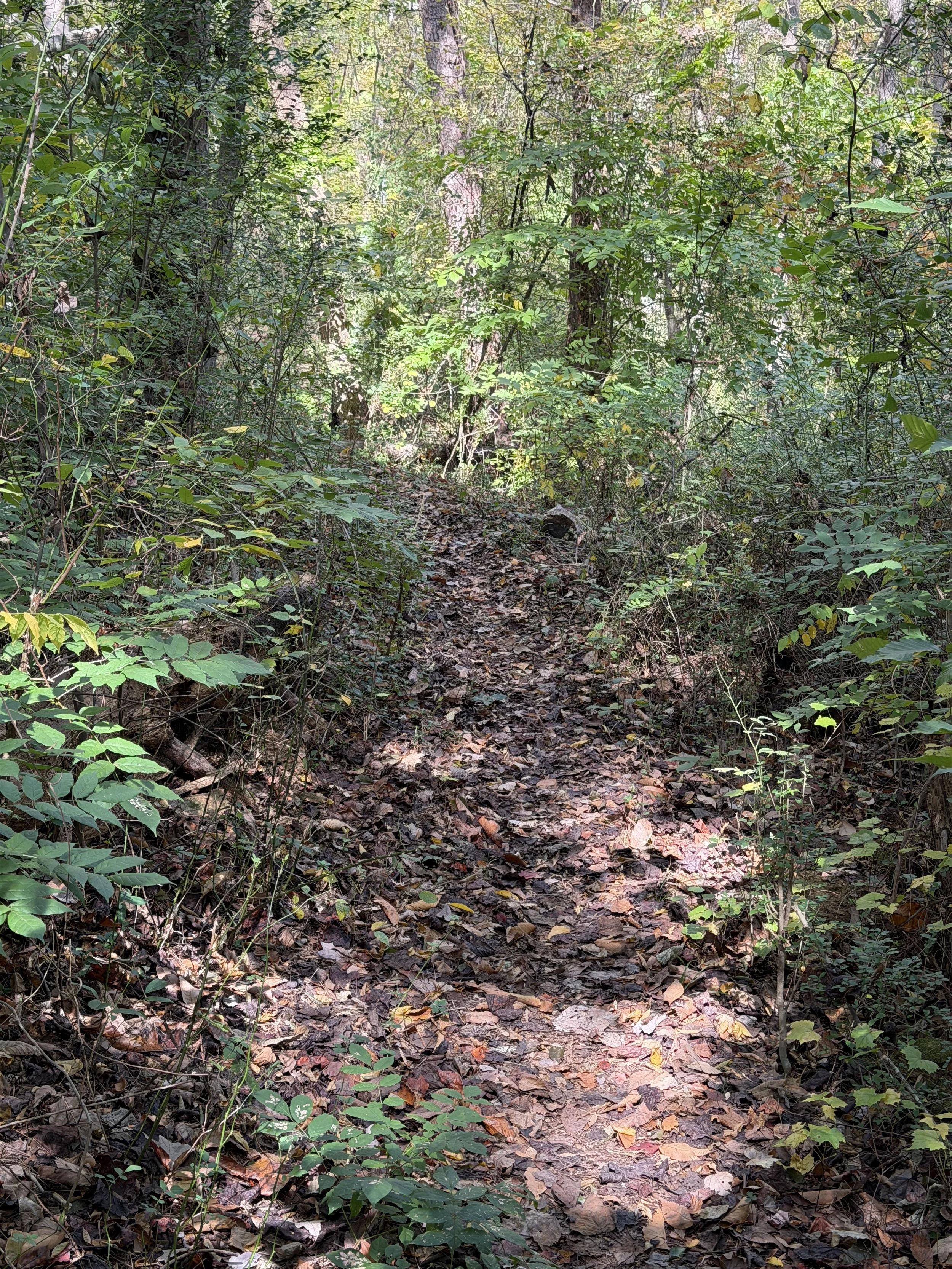
The terrain changes here to a natural dirt surface heavily covered in fallen autumn leaves. The path is curvy and takes you on a gentle, steady uphill grade. The primary historical marker along this short loop designates the site of the town's original spring, which can be found clearly documented on the original 1750s survey maps of Bethania.
The Reuter Survey Trail: Clambering Up the Bluffs
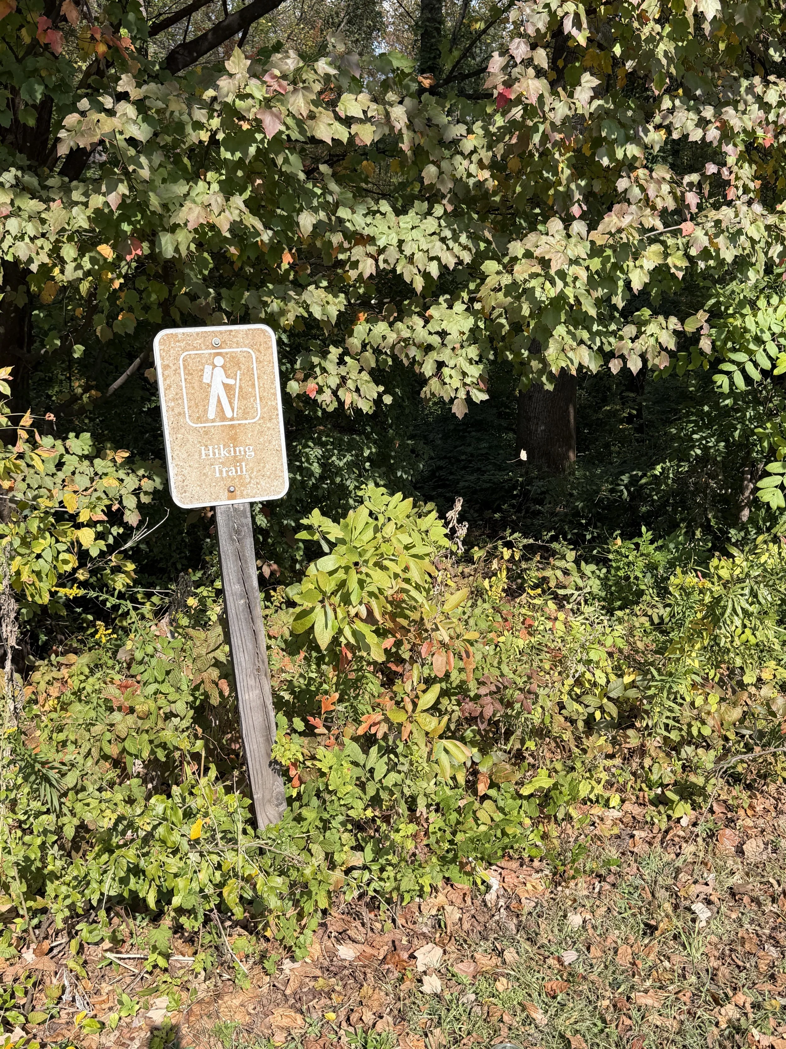
The final hike required another short drive over to the Muddy Creek Bluffs area to find the Reuter Survey Trail. This one takes a little bit of scouting to locate. The trailhead marker is small and sits directly across the street from the Classic Packaging Company facility. I parked on the side of the road and headed in.
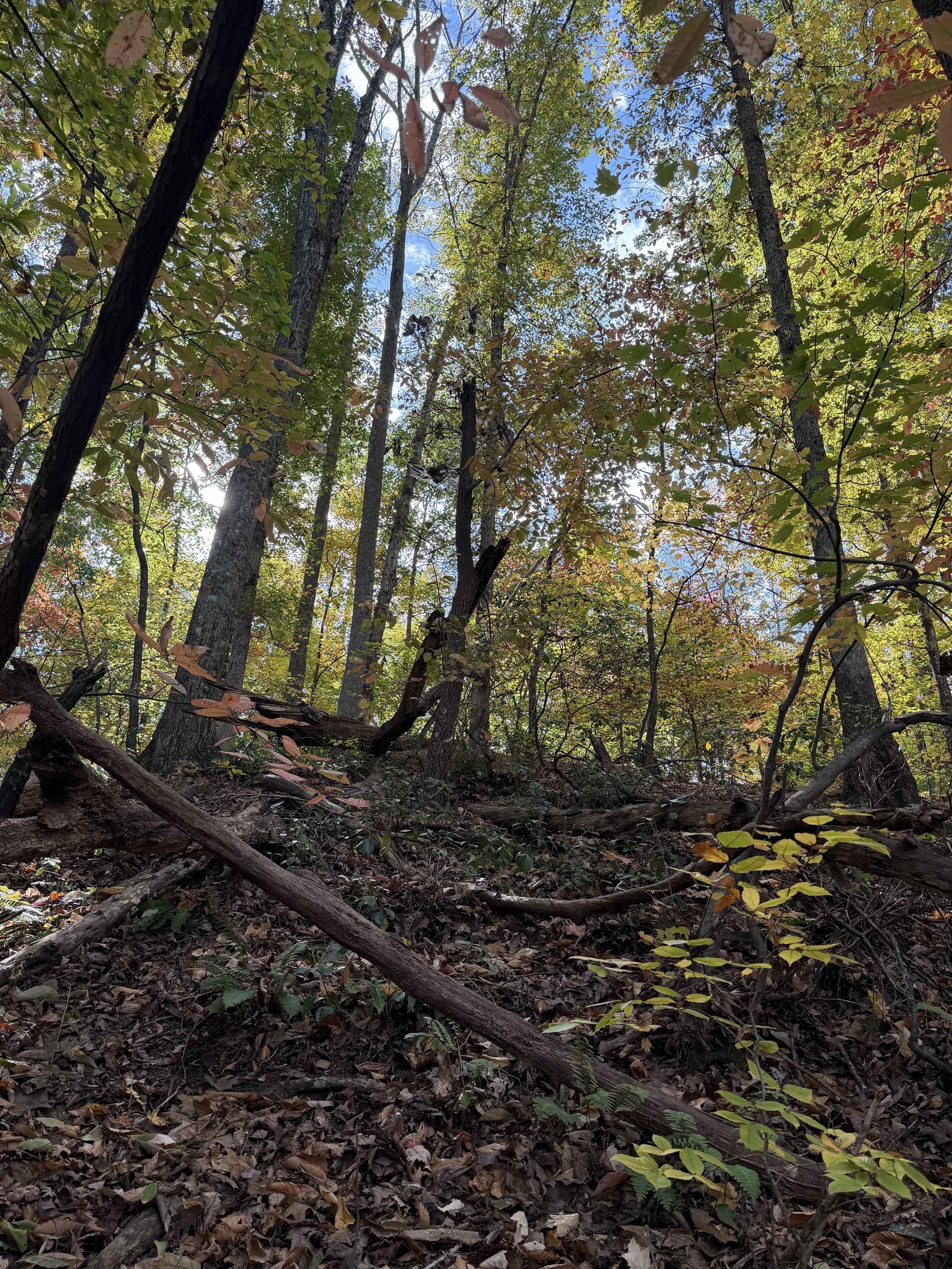
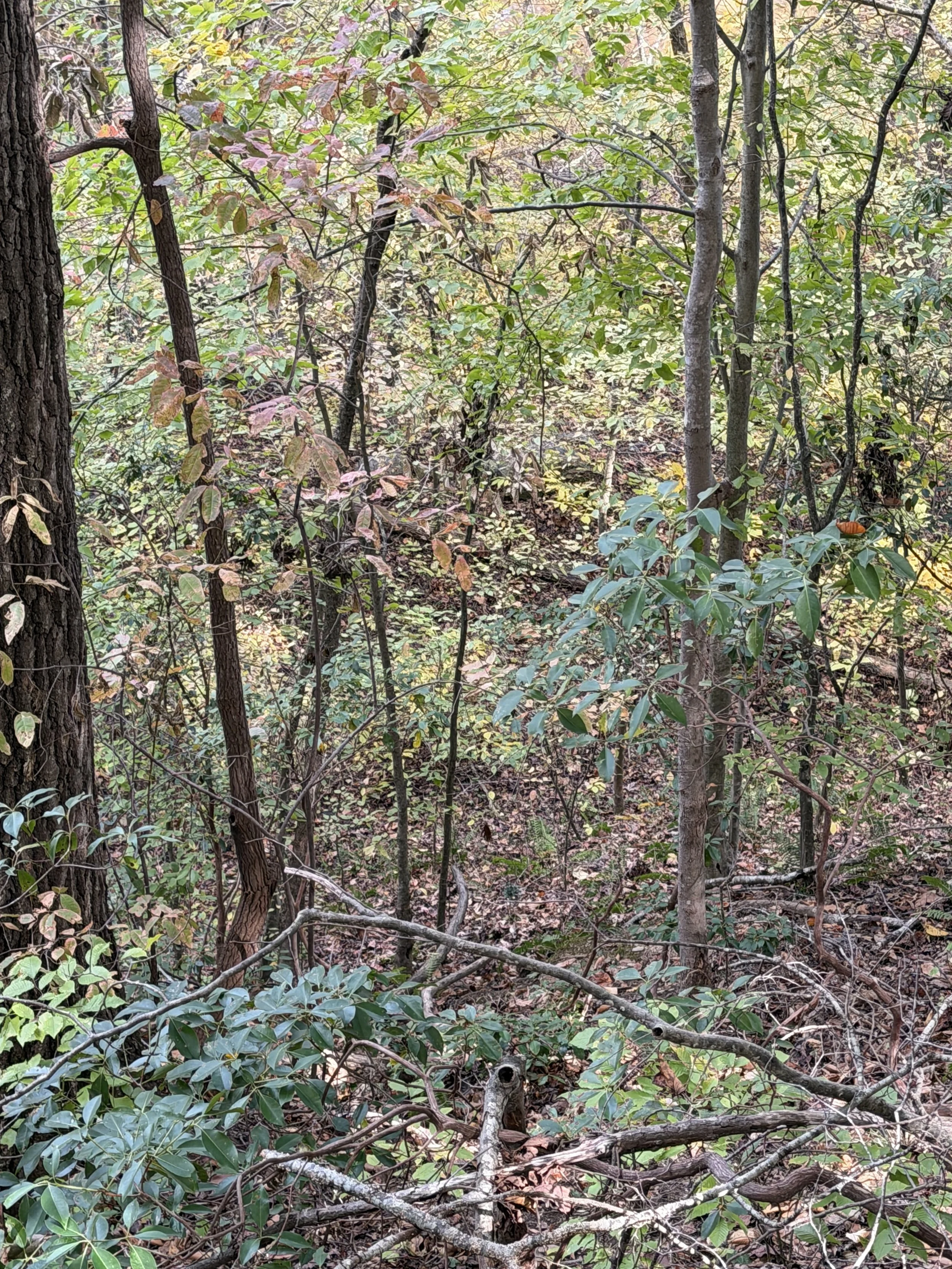
The path starts as a narrow, natural track covered in leaves and flanked on both sides by overgrown summer weeds. At the 0.23-mile mark, the easy strolling ends as the trail begins a steady, continuous ascent up the bluff. As the elevation changes, the thick summer weeds drop away, and the first pine trees of the day appear, mixing in with the established hardwoods.
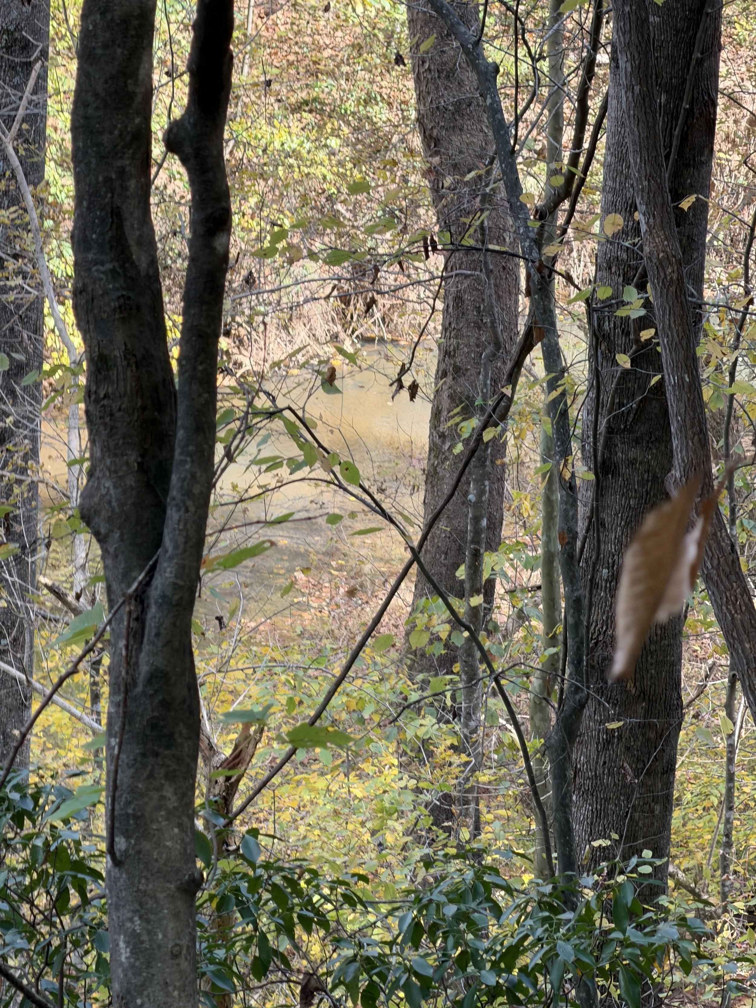
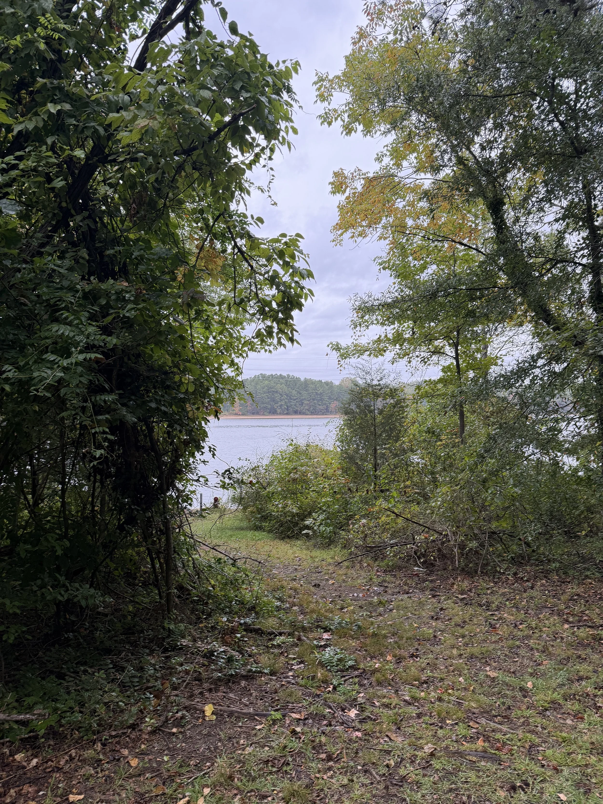
Near the top, the woods open up significantly into an open forest structure at the highest elevation of the day. The viewpoint at the peak looks out over Muddy Creek, though the thick forest overgrowth obscures most of the direct water view. Still, the drop-off is significant and feels almost completely vertical from the edge. It provided a dramatic shift in perspective compared to the flat creek-side paths from earlier in the morning.
A Modern Finish to an 18th-Century Day
By the time I made it back to the car from the bluffs, the autumn sun was dropping low enough to throw long shadows through the hardwoods. Knotted together, these four trails serve up a strange but satisfying mix: one minute you are dodging low branches over a clear creek bed, and the next you are standing on the exact dirt road where British regulars marched during the Revolution. It is a lot of ground to cover in a single afternoon, both in mileage and in centuries. If you want a day hike that keeps your brain as active as your boots, packing up and spending a few hours jumping between the loops of Bethania is a tough itinerary to beat.
Hiking summary:
Total mileage fell just short of the 6-mile mark across four distinct historical properties
Black Walnut Bottom Trail offers the best water access, bridges, and birdwatching
Graveyard Trail connects the modern town directly to General Cornwallis's Revolutionary War route via a wooded loop
Orchard Trail provides an easy uphill walk through a historic fruit grove
Reuter Survey Trail delivers the highest elevation, steepest drop-offs, and dense forest scenery
The trail system accommodates a mix of driving and walking transitions between distinct historical zones




God’s Acre