
“If you change the way you look at things, the things you look at change.” – Wayne Dyer
“Everything we hear is an opinion, not a fact. Everything we see is a perspective, not the truth." - Marcus Aurelius
“Sometimes all it takes is a tiny shift of perspective to see something familiar in a totally new light.” – Dan Brown
"There are things known, and there are things unknown, and in between are the doors of perception." - Aldous Huxley
Hike at a Glance
Location: Northern Greensboro, NC (Greensboro Watershed Trail System)
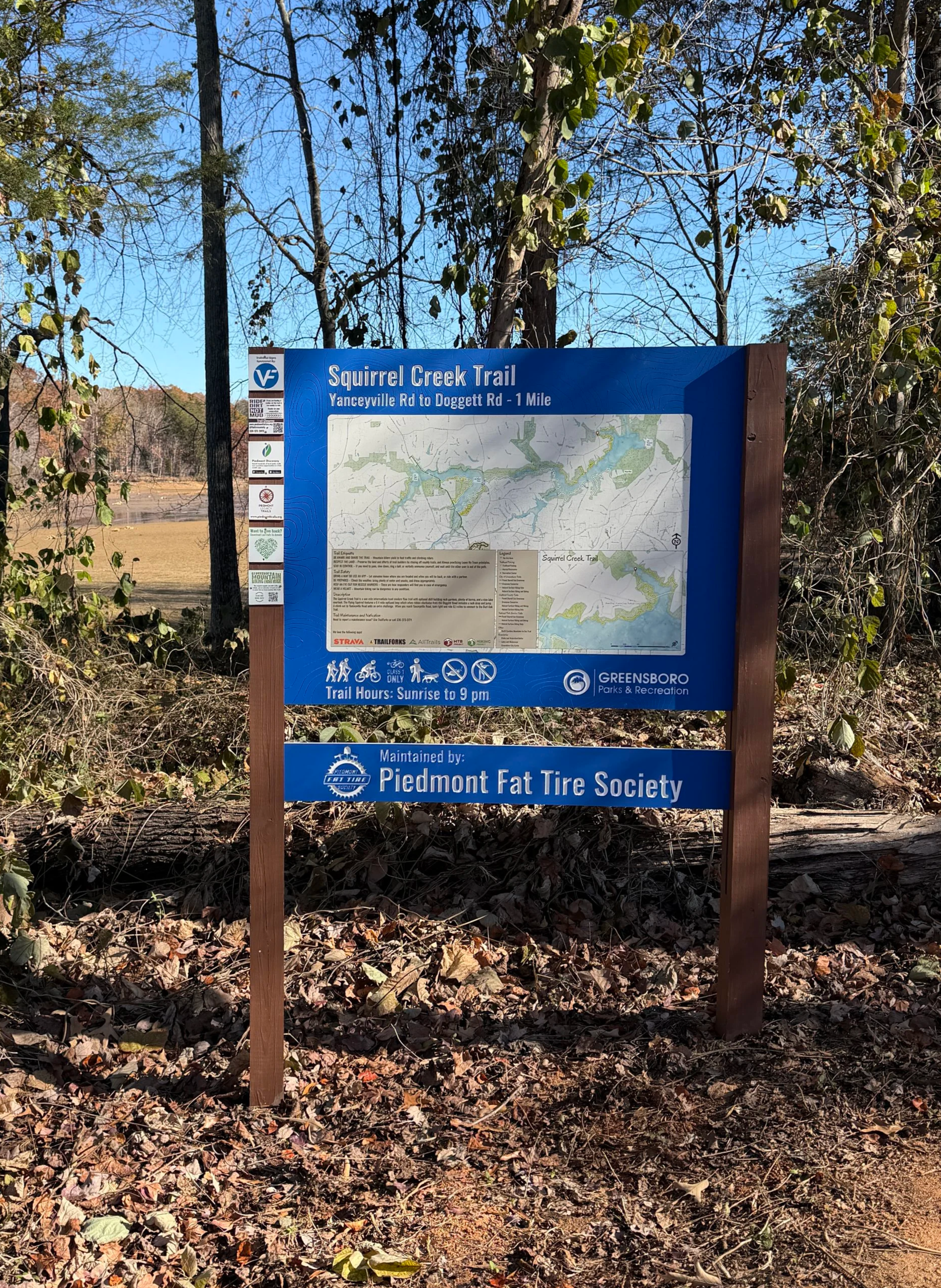
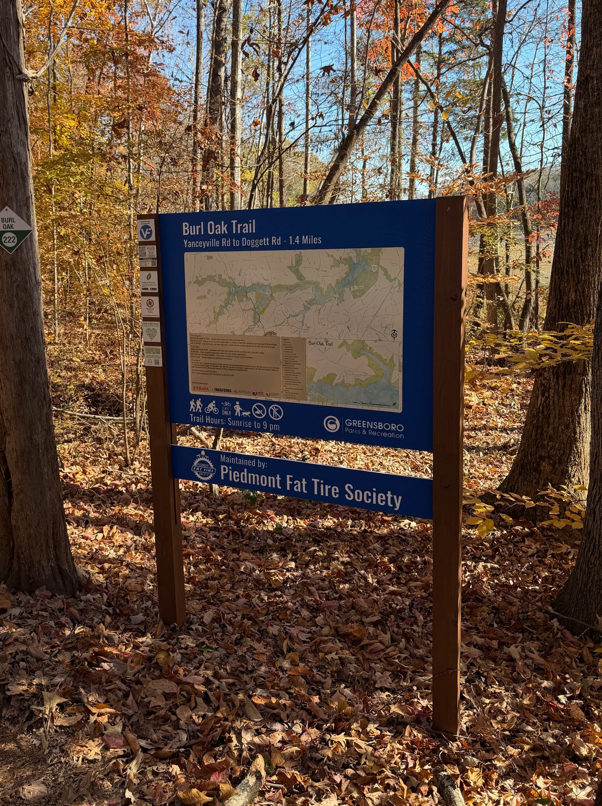
Trails: Squirrel Creek Trail and Burl Oak Trail
Distance: 2.5 miles combined (loop via road connectors)
Difficulty: Easy to Moderate
Trail Type: Multi-use (hiking and mountain biking)
Parking: Roadside parking along Doggett Road (alternate access on Yanceyville Road)
Highlights: Lake Townsend views, banked curves, earthen bike ramps, stone and wooden bridges, and a log balance beam
Starting Out on Squirrel Creek
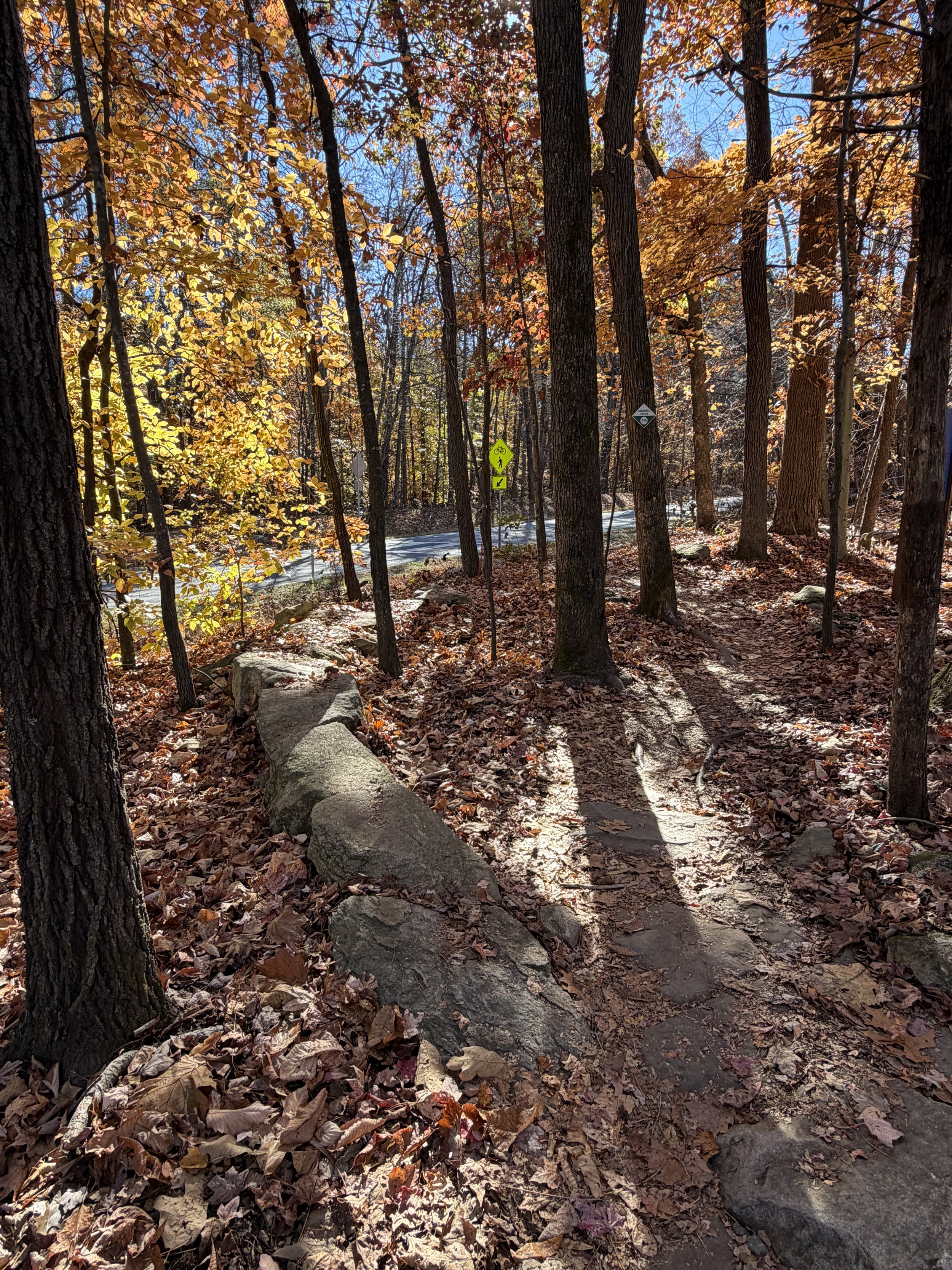
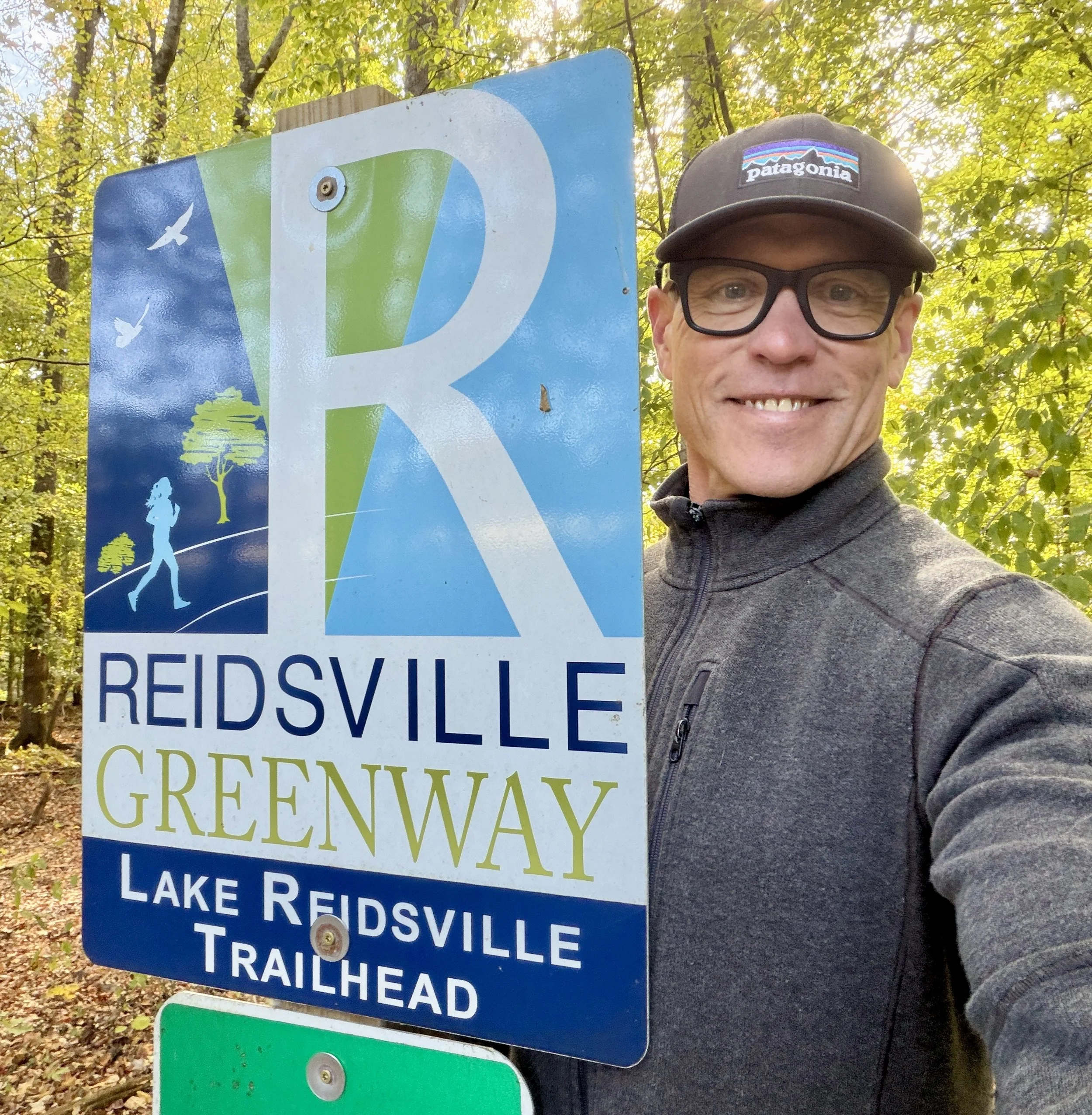
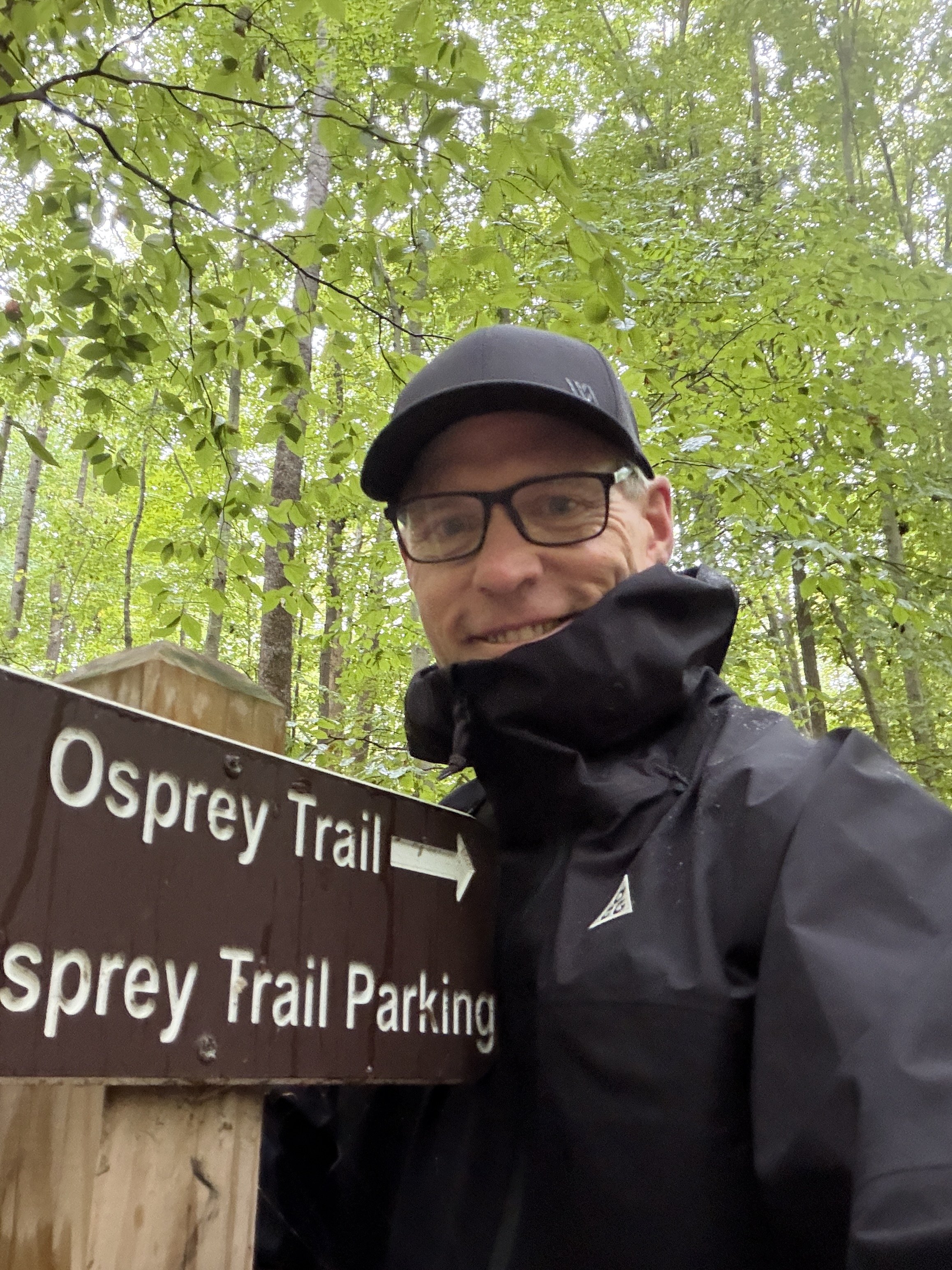
If you are looking for a quick, energizing trek in northern Greensboro, combining the Squirrel Creek and Burl Oak Trails gives you a great 2.5-mile loop around the northern edges of Lake Townsend. I started my trek by parking on the side of Doggett Road right in front of the Squirrel Creek trailhead, though you can also access the trail from Yanceyville Road. Nice large stones line the path right at the entrance, welcoming you into a very well-maintained stretch of the City of Greensboro watershed trail system.
Racetrack Curves and Catching Air
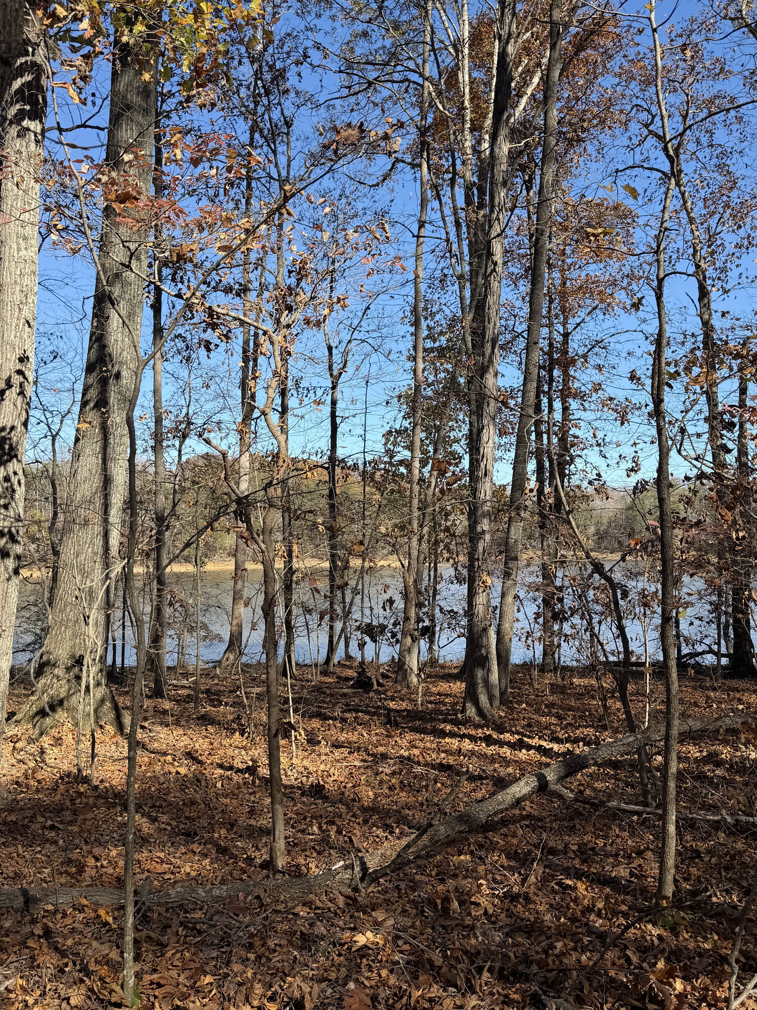
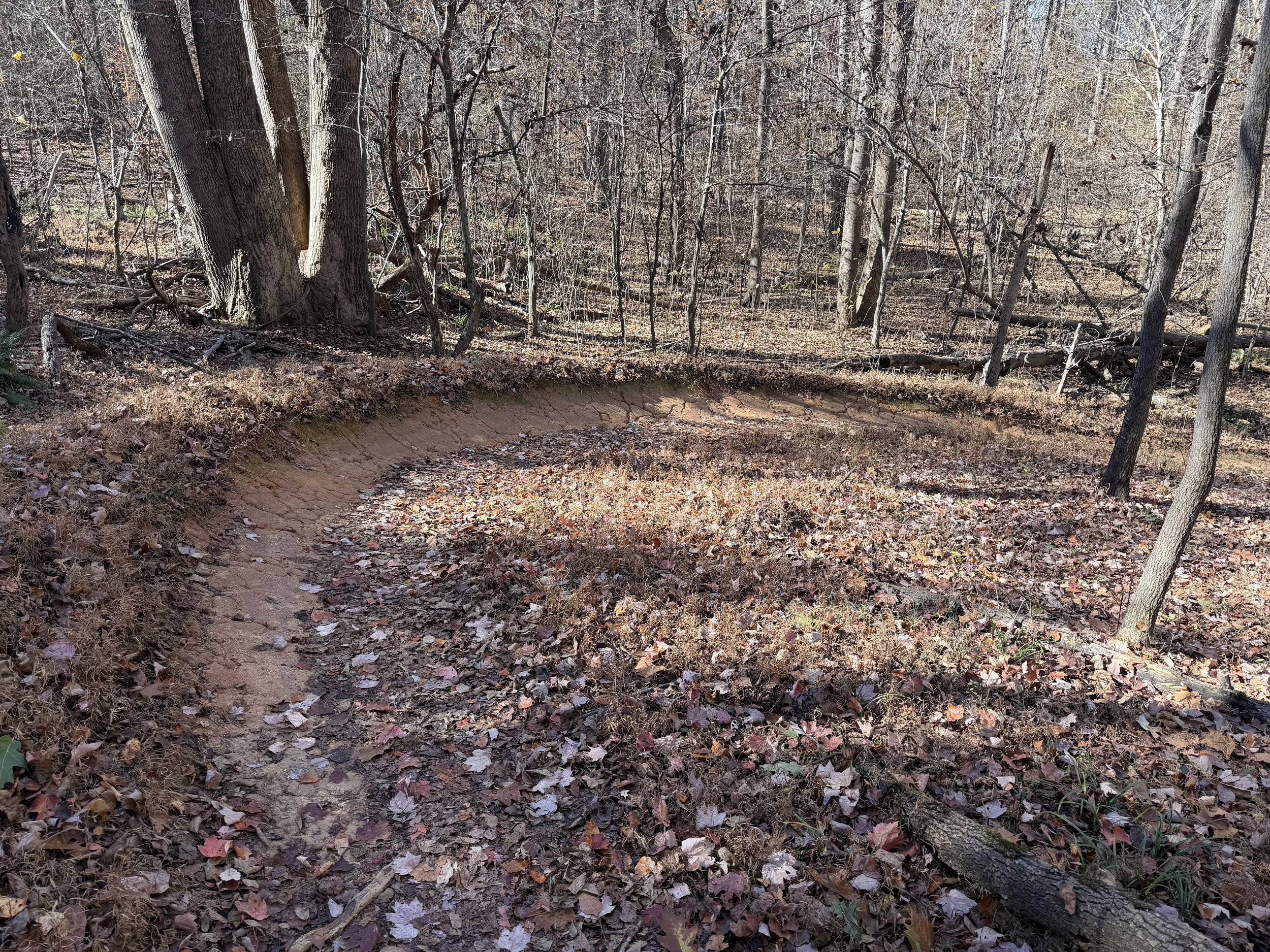
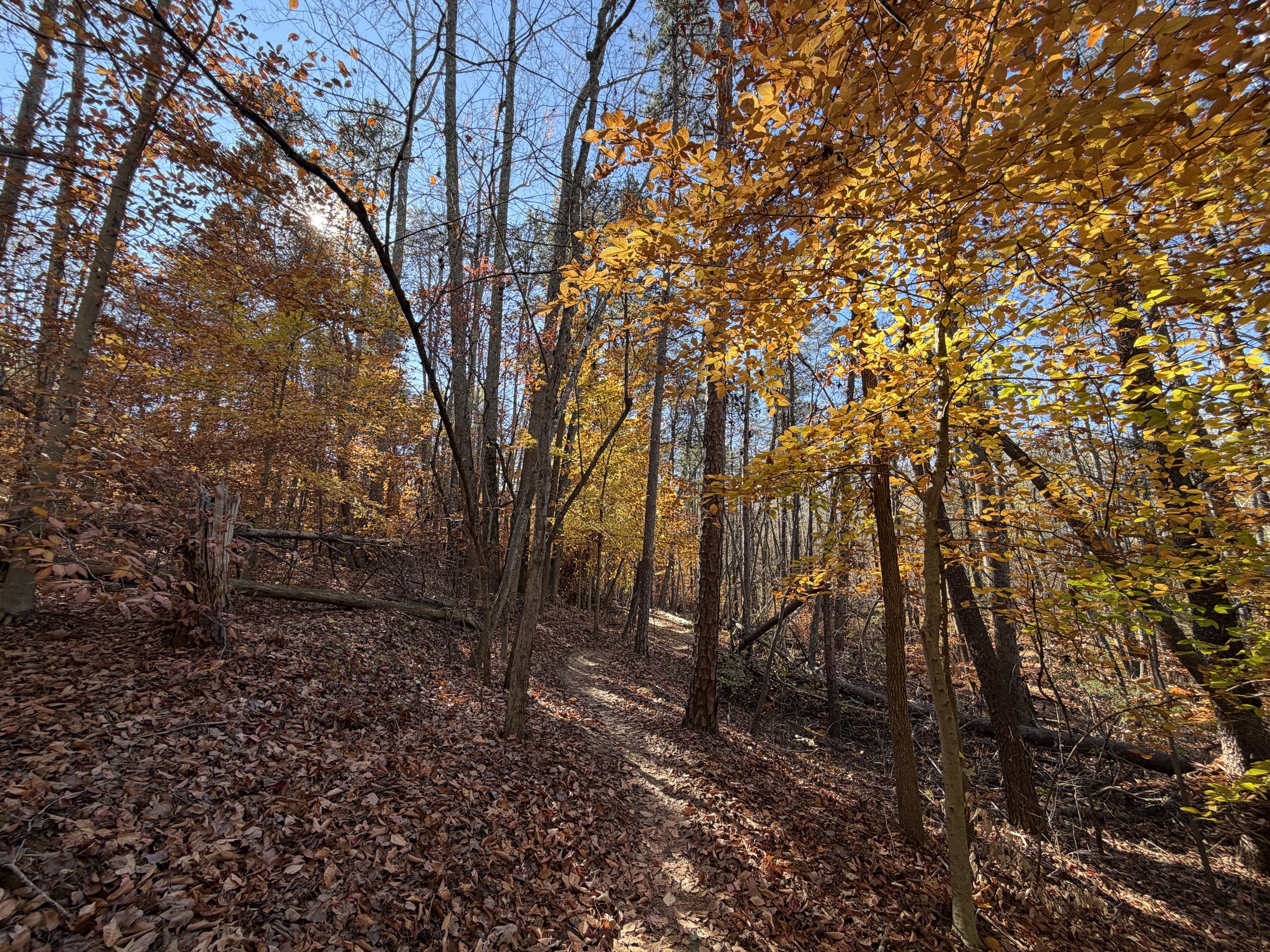
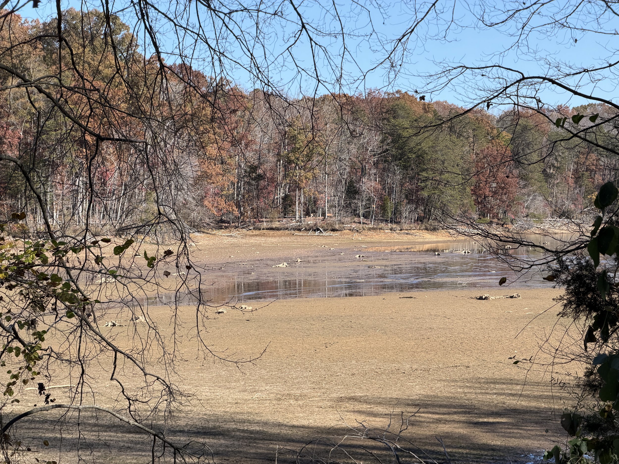
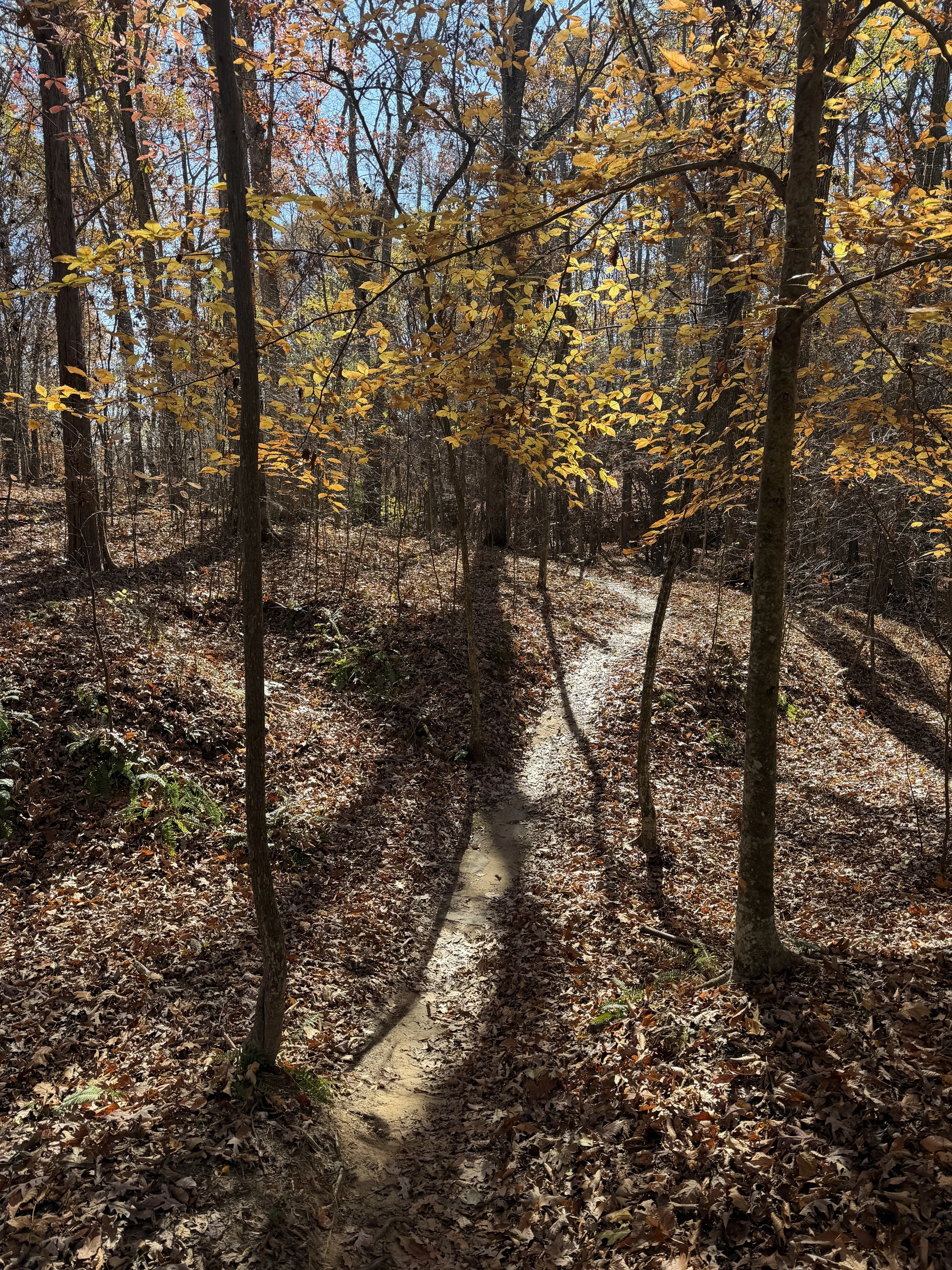
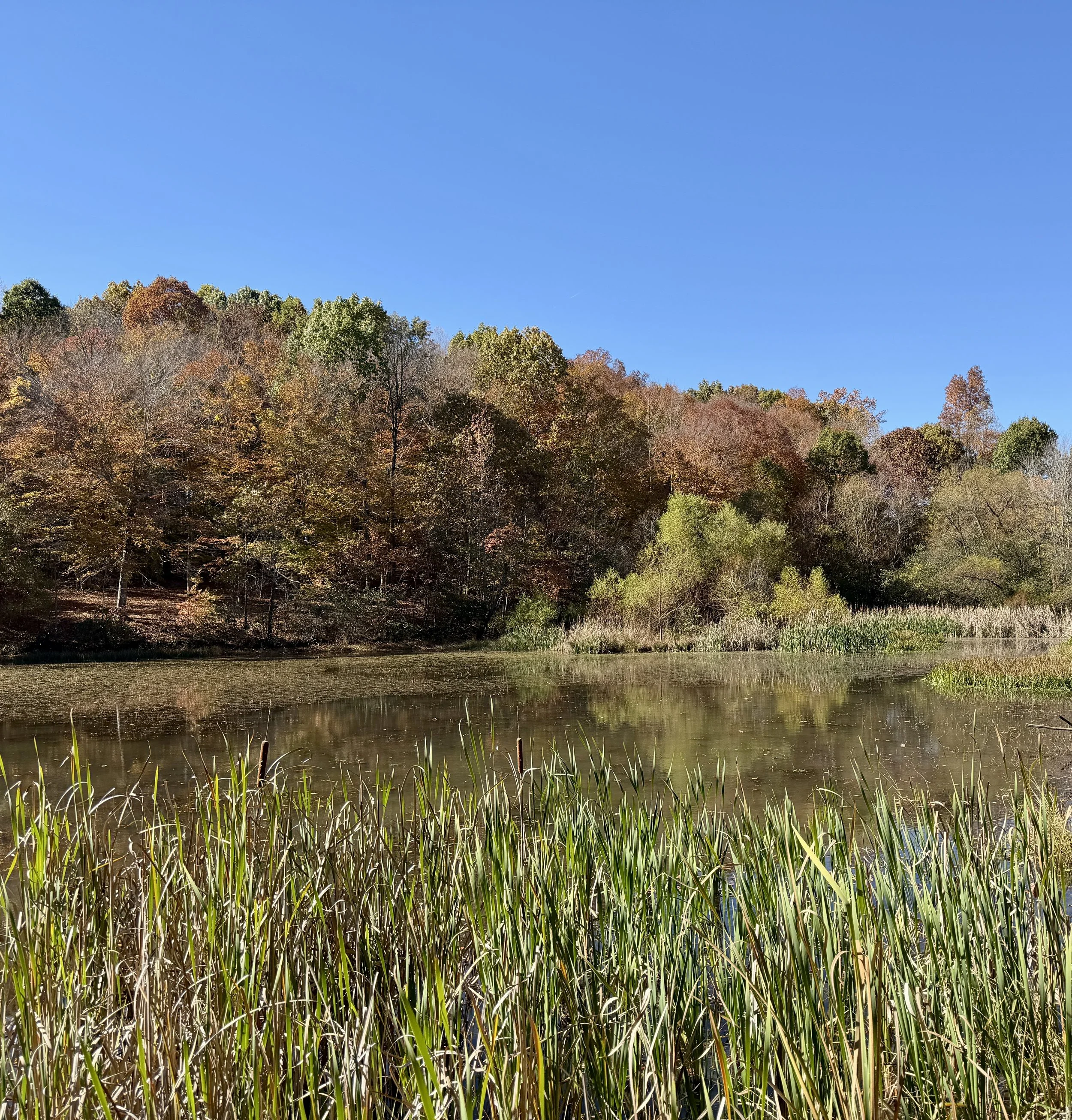
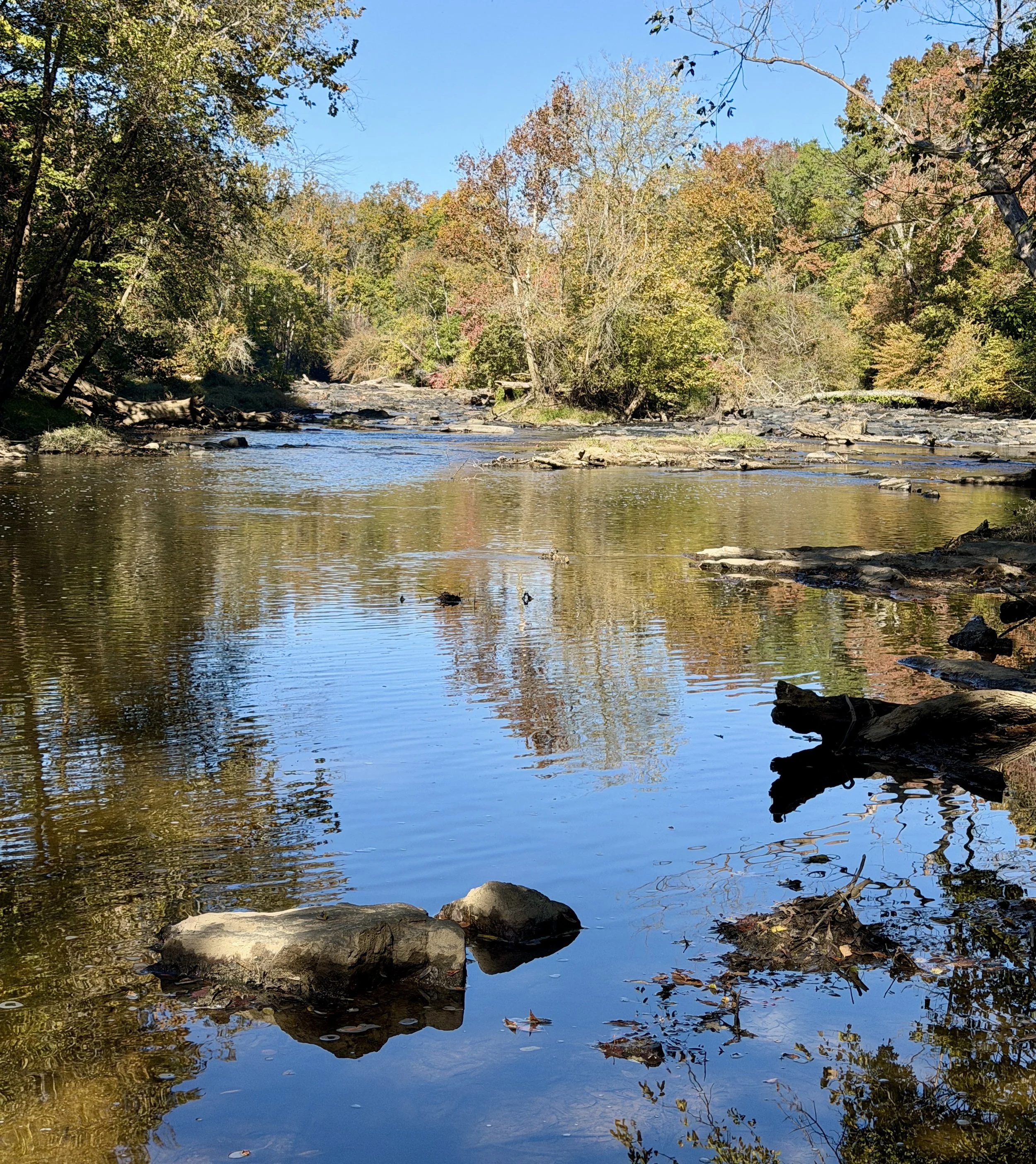
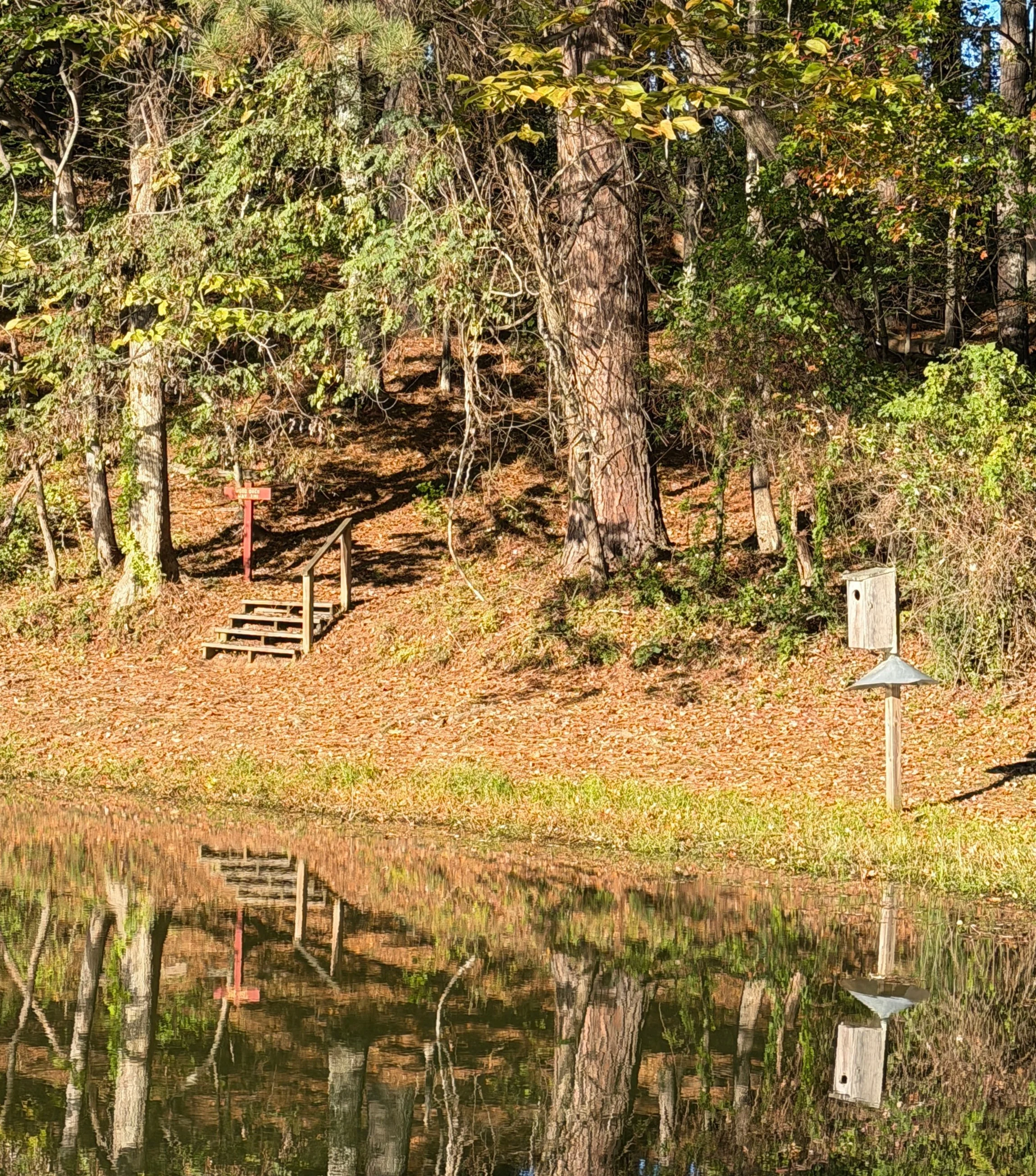
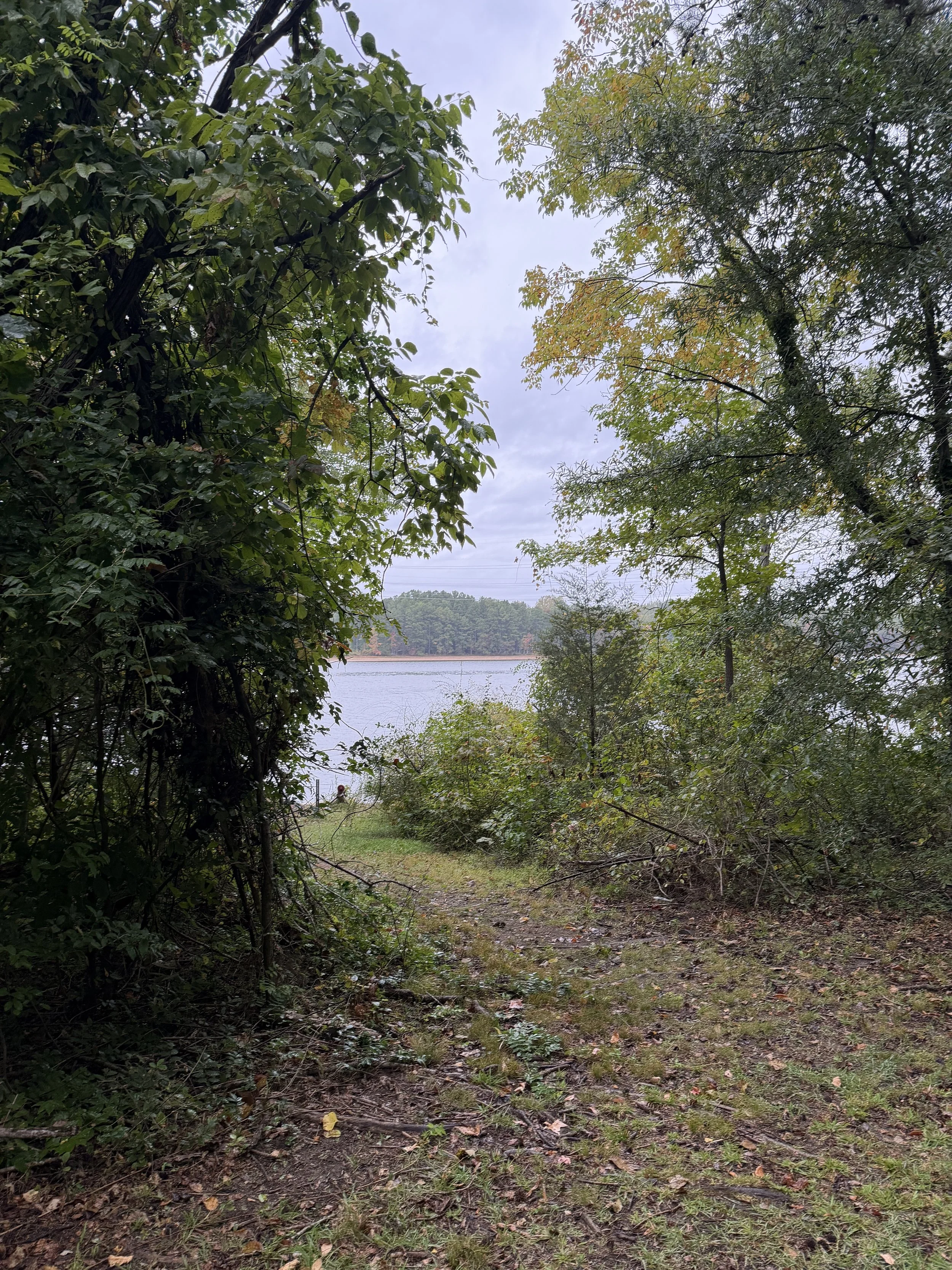
It takes about ten seconds on Squirrel Creek Trail to realize this is prime territory for mountain bikers. The path is a narrow, hard-packed dirt ribbon almost entirely free of roots, featuring curvaceous turns and modest undulations. Some of the bends even have high banks that look straight out of a racetrack. As you wind your way forward, Lake Townsend sits to your right while a thick forest of thin tulip and maple trees rises to your left. Eventually, the trees open up on the right, offering gorgeous views of the water. You will also notice plenty of earthen ramps built for cyclists to catch some air. Since I was on foot, I decided to leap off a few of them myself to catch my own air without a bike. Shortly after, the trail hits a series of back-to-back-to-back ups and downs that feel like gently flowing ocean waves.
Bridges, Ferns, and Drought Signs
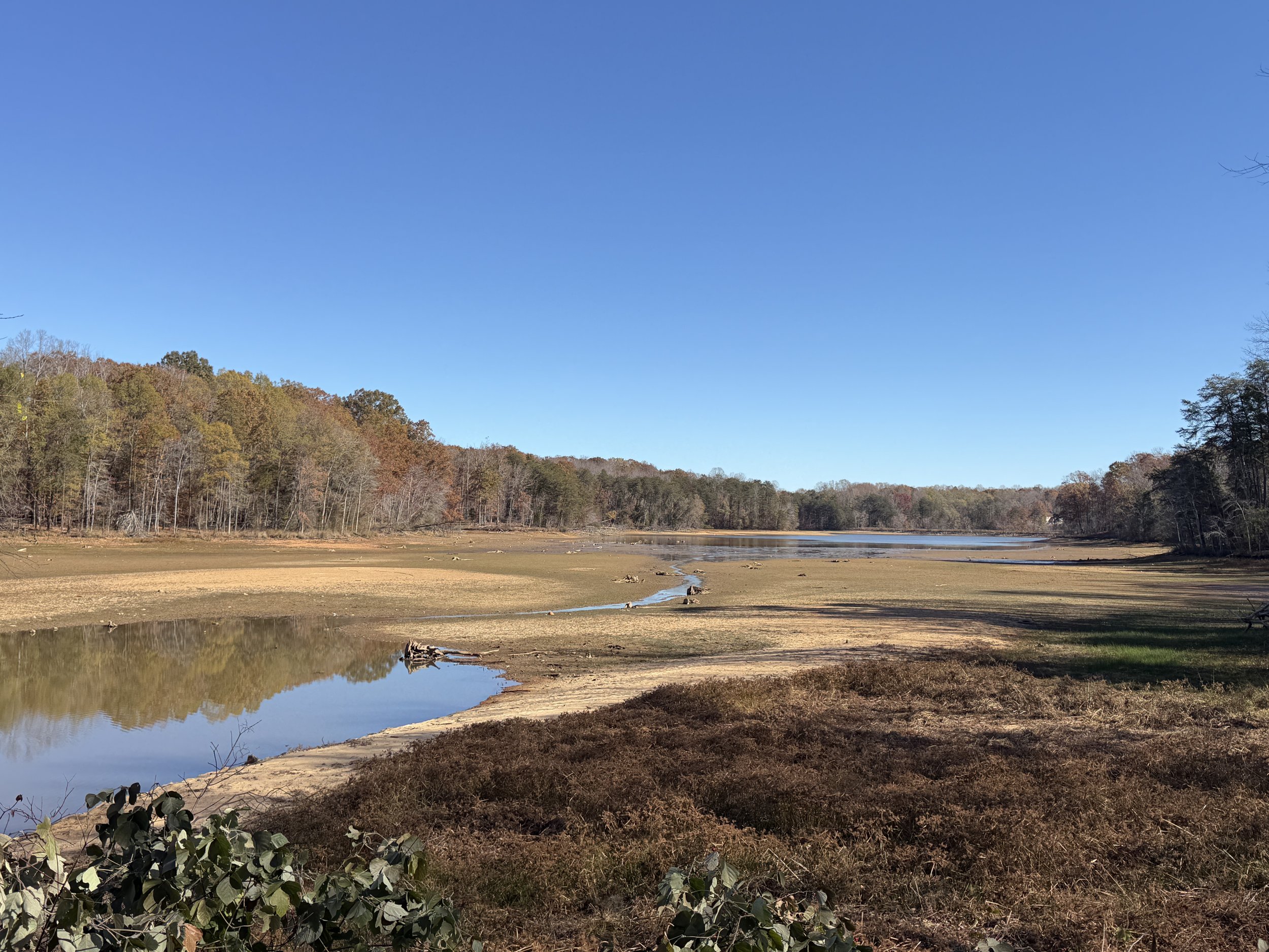
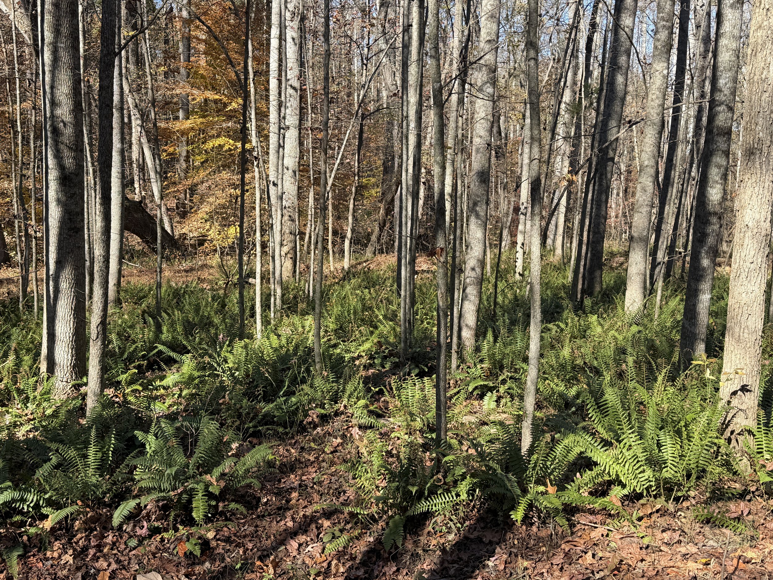
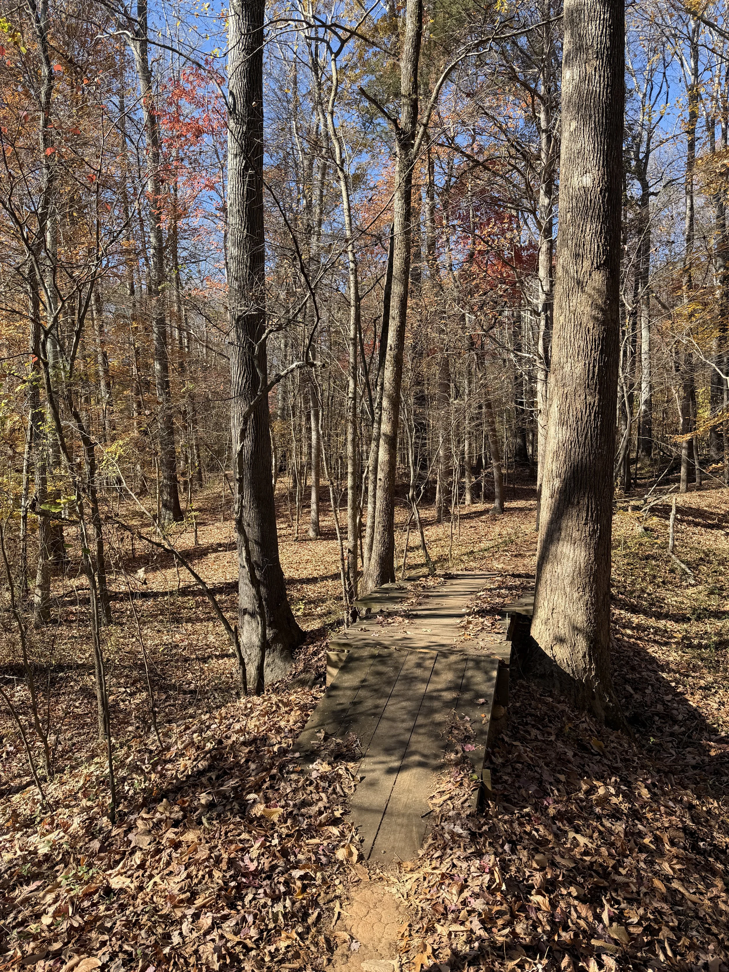
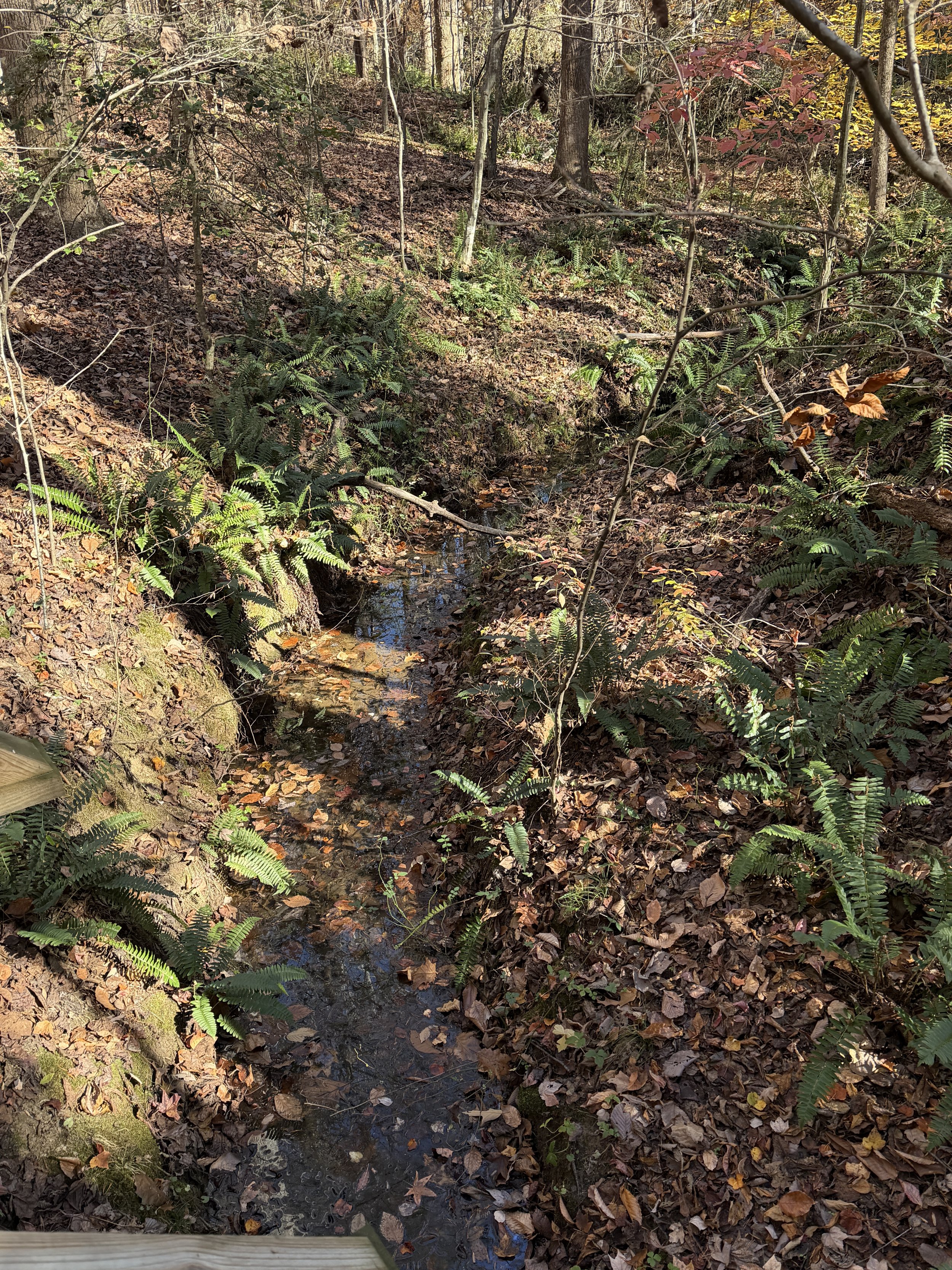
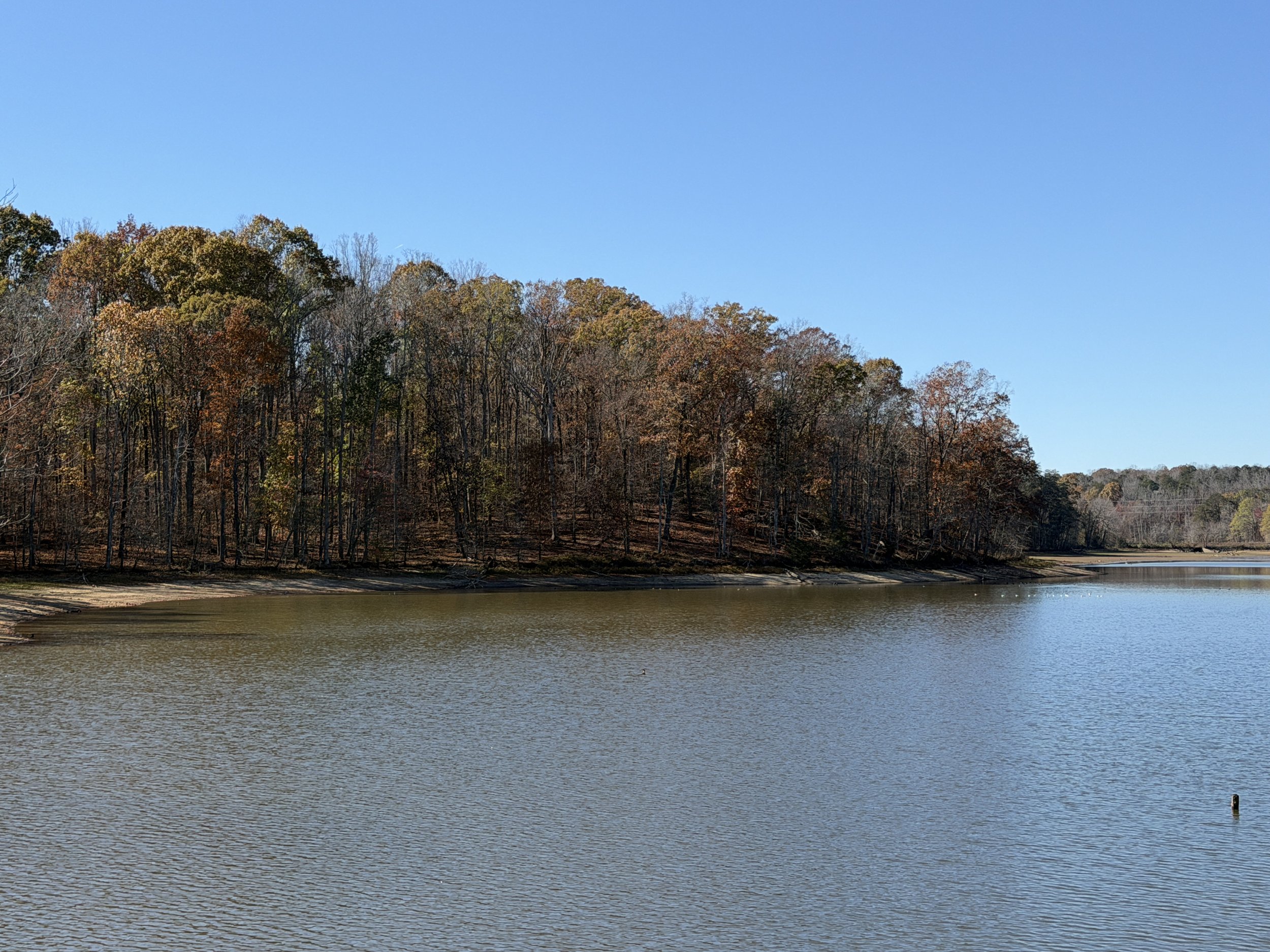
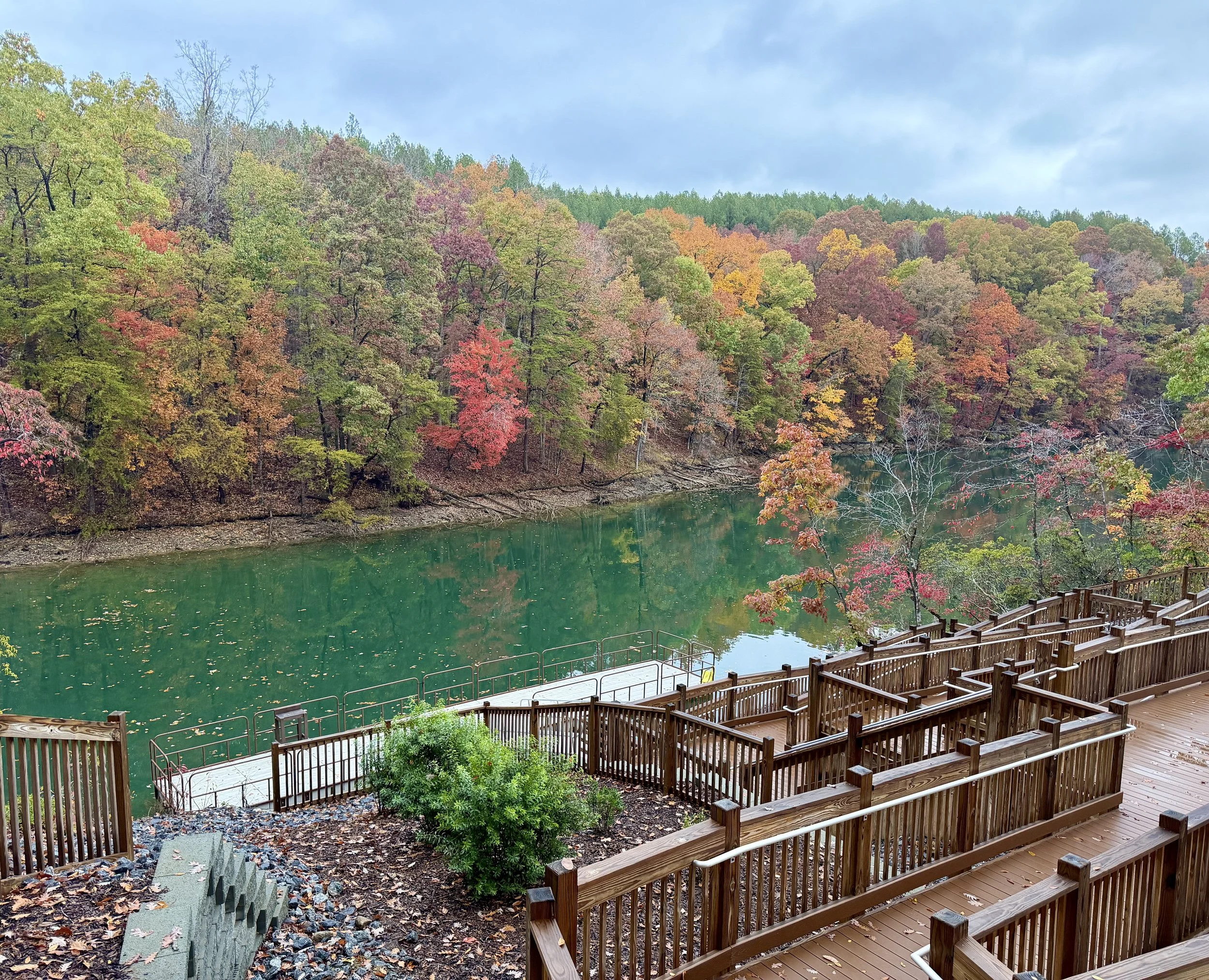
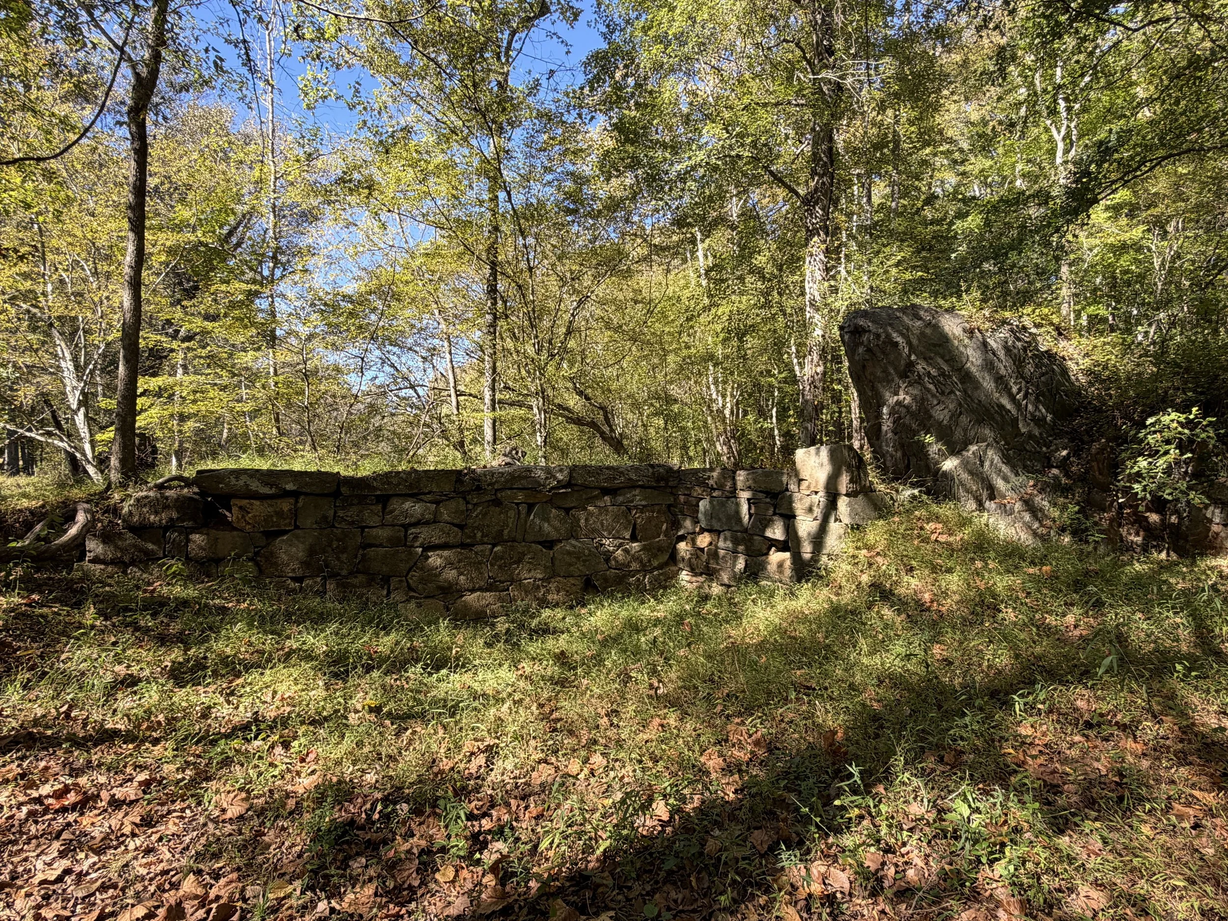
Beyond the roller-coaster terrain, the natural details along Squirrel Creek are fantastic. Hardwoods and pines line the route, and near the creek beds and several nice stone footbridges, you will find a lush plethora of ferns. You also cross several long wooden bridges spanning dry creek beds. As the trail curves back toward the water, the effects of the local drought conditions become noticeable along the shoreline. Soon, the hum of traffic lets you know you are nearing Yanceyville Road. The path begins to climb here. It is not a strenuous ascent, though it is definitely the highest climb of the trail, depositing you right out onto Yanceyville Road.
Crossing Over to Burl Oak Trail
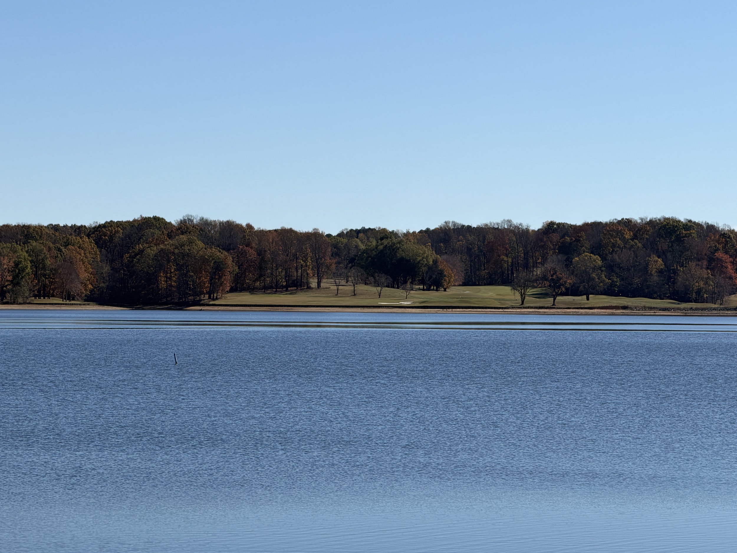
At Yanceyville Road, you have a choice. You can turn around and retrace your steps, or you can walk north and cross over Lake Townsend to pick up the Burl Oak Trail. I opted to cross over and make a loop out of it. Burl Oak continues along the northern side of Lake Townsend and immediately introduces a few more roots than its neighbor across the water. Aside from the extra roots, it shares the same wonderfully maintained, hard-packed narrow dirt surface.
Zig-Zags and a Forest Balance Beam
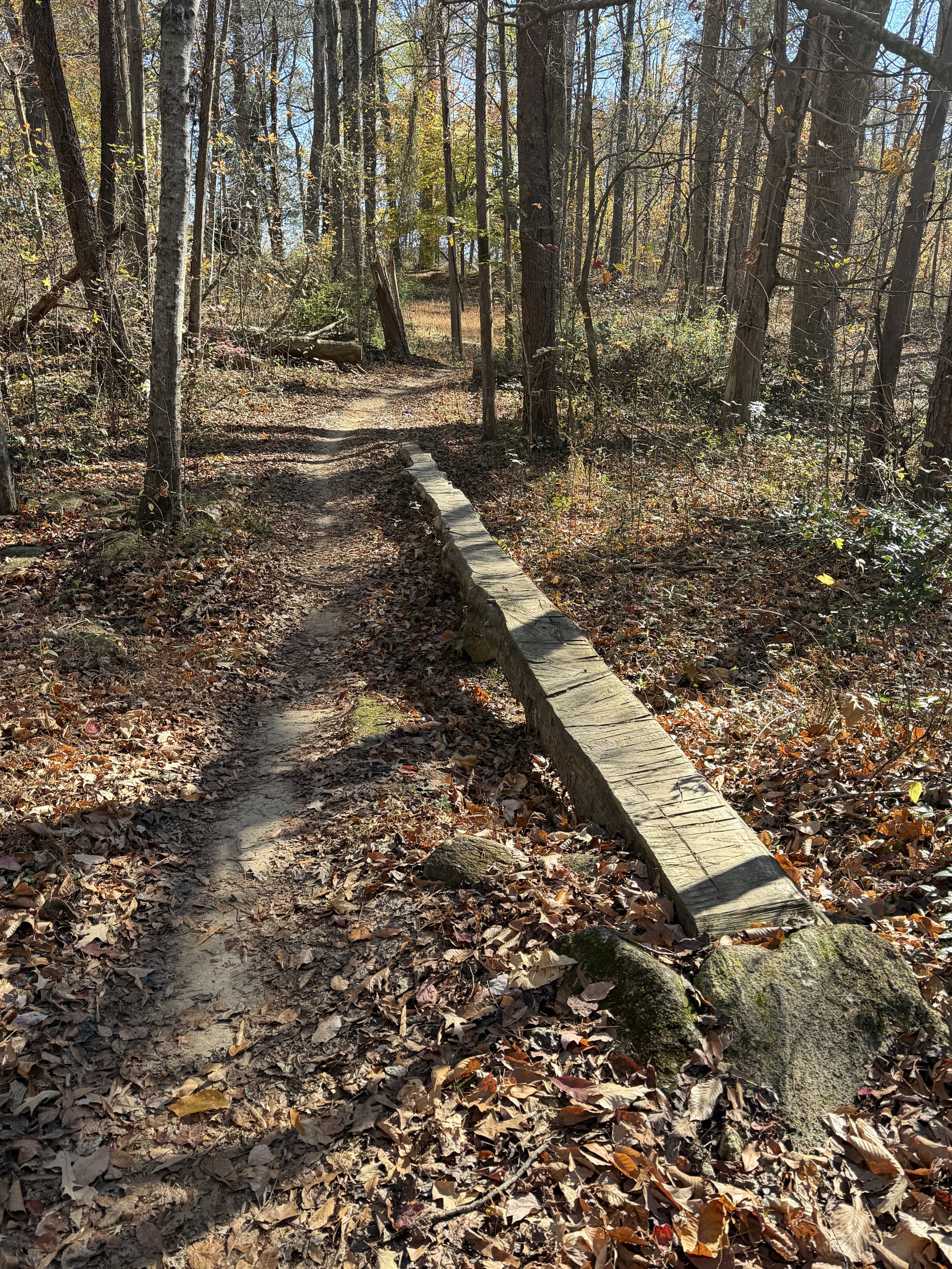
Burl Oak Trail zigs and zags toward and away from the shoreline, keeping the water visible through the trees for most of the walk. You will cross over several nicely built wooden ramps spanning dry creeks and depressions in the ground. Towards the end of the trail, keep an eye out for a long dead tree lying on its side. Someone has clearly flattened and smoothed the top side, turning it into an irresistible forest balance beam. Once you finish testing your equilibrium, the trail ends on Doggett Road, where a short walk south back over Lake Townsend returns you right to your car at the Squirrel Creek trailhead.
Same Watershed, Different Story
You never really walk the exact same path twice, especially when the seasons and shorelines are constantly shifting beneath your feet. Even after stringing together half a dozen hikes along the same local watershed, each trail still manages to show off a completely different personality if you slow down and pay attention. Between the smooth, banked turns on one side of the lake and the rooty zig-zags and log balance beams on the other, familiar ground always holds a few surprises. Keep exploring the woods right in your own backyard, because there is always something new to see when you are actually looking.
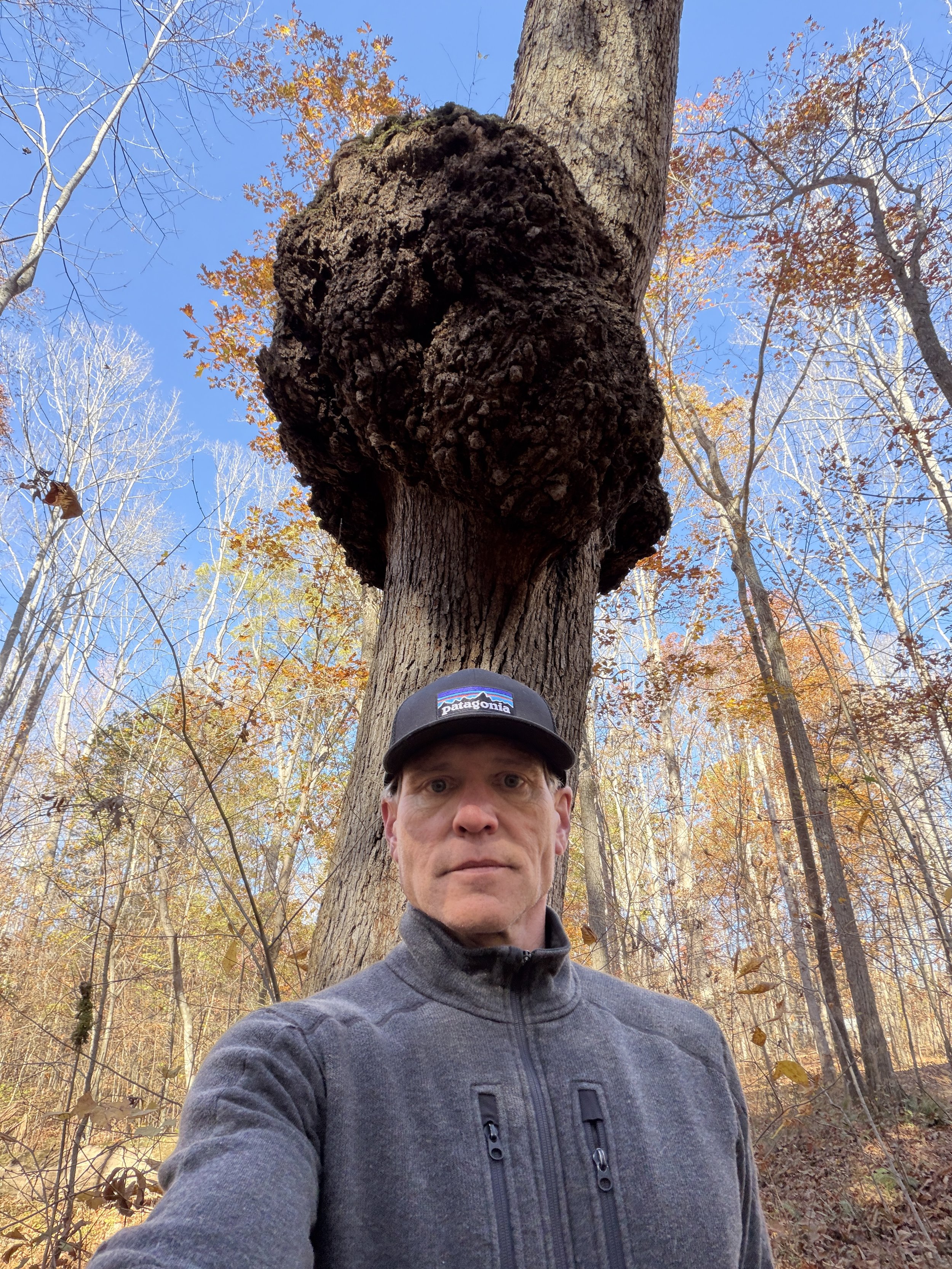
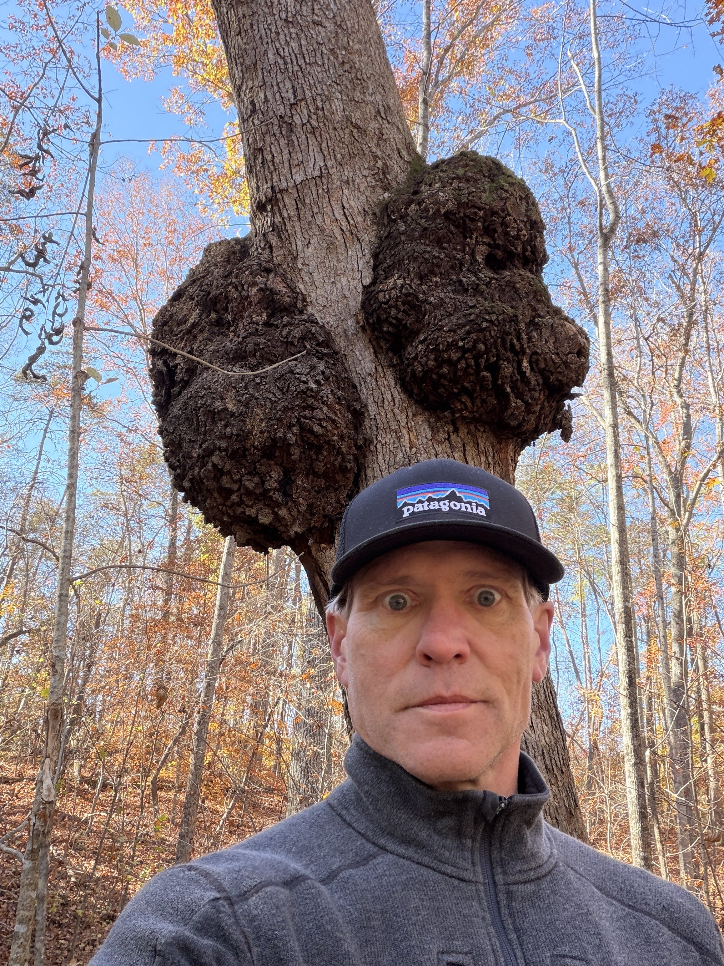
Hike Summary
Combined two popular multi-use Greensboro watershed trails for a 2.5-mile loop around Lake Townsend.
Parked along Doggett Road at the Squirrel Creek trailhead and hiked east to Yanceyville Road.
Enjoyed hard-packed, root-free singletrack with high banked curves, earthen jump ramps, and wave-like undulations.
Crossed stone footbridges and a long wooden bridge surrounded by ferns, pines, maples, and tulip trees.
Observed visible shoreline impacts from current drought conditions along Lake Townsend.
Walked north across Lake Townsend on Yanceyville Road to connect with the Burl Oak Trail.
Navigated Burl Oak's zig-zagging path, wooden creek ramps, slightly rootier terrain, and a smoothed log balance beam before walking south on Doggett Road back to the start.








Squirrel Racing